MyTopo
Classic USGS Hutchison Missouri 7.5'x7.5' Topo Map
Couldn't load pickup availability
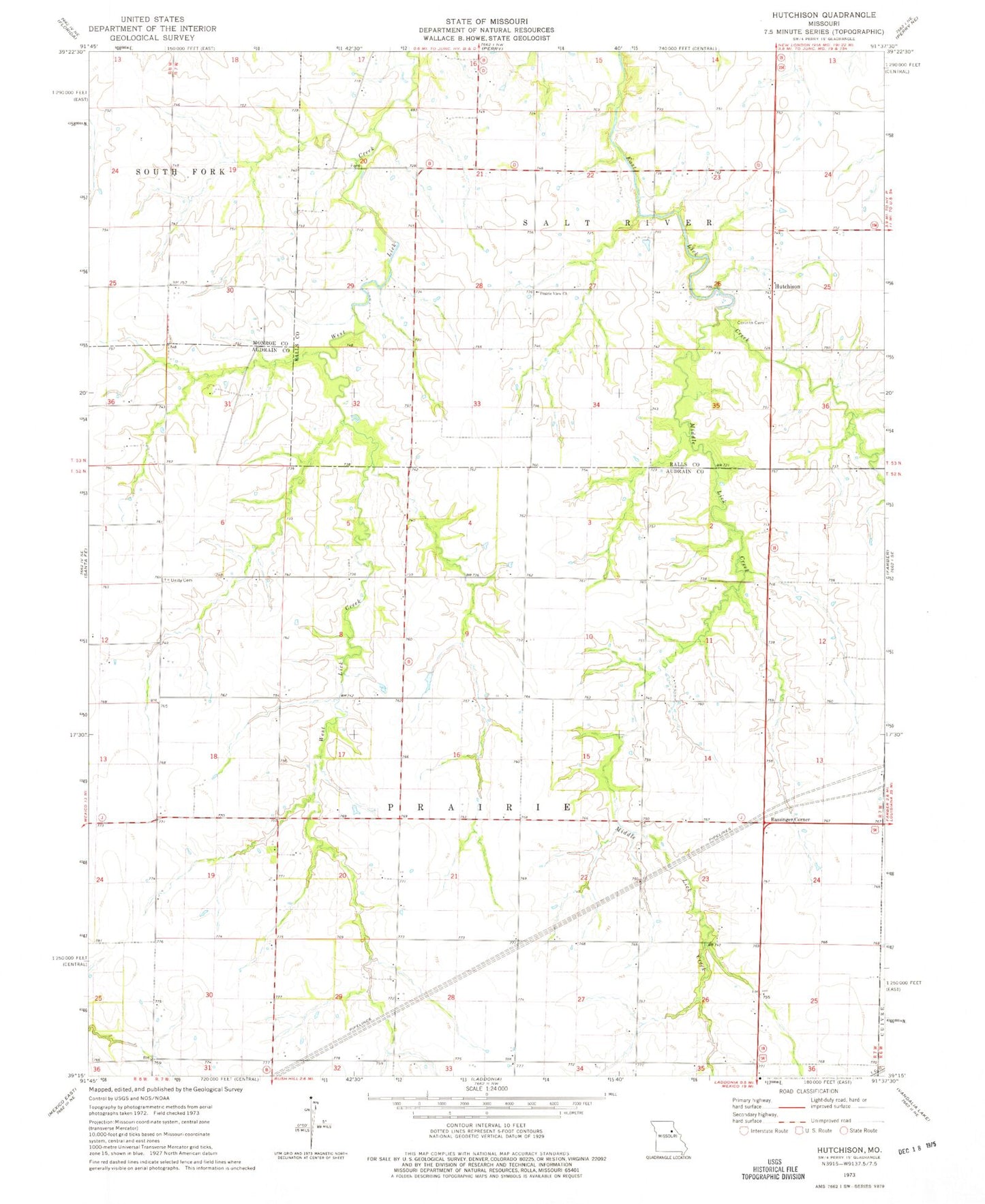
Historical USGS topographic quad map of Hutchison in the state of Missouri. Map scale may vary for some years, but is generally around 1:24,000. Print size is approximately 24" x 27"
This quadrangle is in the following counties: Audrain, Monroe, Ralls.
The map contains contour lines, roads, rivers, towns, and lakes. Printed on high-quality waterproof paper with UV fade-resistant inks, and shipped rolled.
Contains the following named places: Bassinger Corner, Black Lake Dam, Corinth Cemetery, Elm Bend School, Hutchison, Hutchison School, McClintic School, Middle Lick Creek, Neville School, Oak Grove School, Peery Lake Dam, Piddletown School, Pound Lake Dam, Prairie View Church, Schlemmer Airport, Township of Prairie, Unity Cemetery, West Lick School