MyTopo
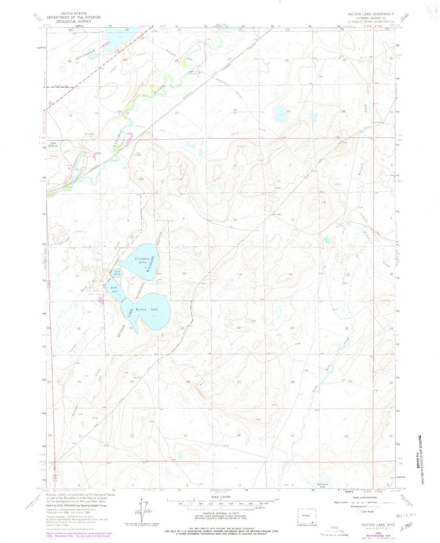
Classic USGS Hutton Lake Wyoming 7.5'x7.5' Topo Map
Couldn't load pickup availability
Historical USGS topographic quad map of Hutton Lake in the state of Wyoming. Map scale may vary for some years, but is generally around 1:24,000. Print size is approximately 24" x 27"
This quadrangle is in the following counties: Albany.
The map contains contour lines, roads, rivers, towns, and lakes. Printed on high-quality waterproof paper with UV fade-resistant inks, and shipped rolled.
Contains the following named places: Antelope Creek, Big Laramie Stage Station, Columbus Dam, Creighton Lake, Dowlin Ditch, Flag Ranch, Hutton Lake, Hutton Lake Dam Number 3, Hutton Lake National Wildlife Refuge, Lake George, Laramie Plains, Lone Tree Creek, Monolith Ditch, Pioneer Lateral, Rays Airpark, Richards Ditch, Rush Lake, Sand Creek, Sportsman Dam, Sportsman Lake Mine, Willow Creek