
MyTopo
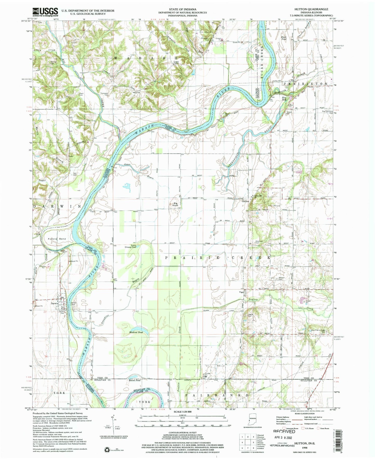
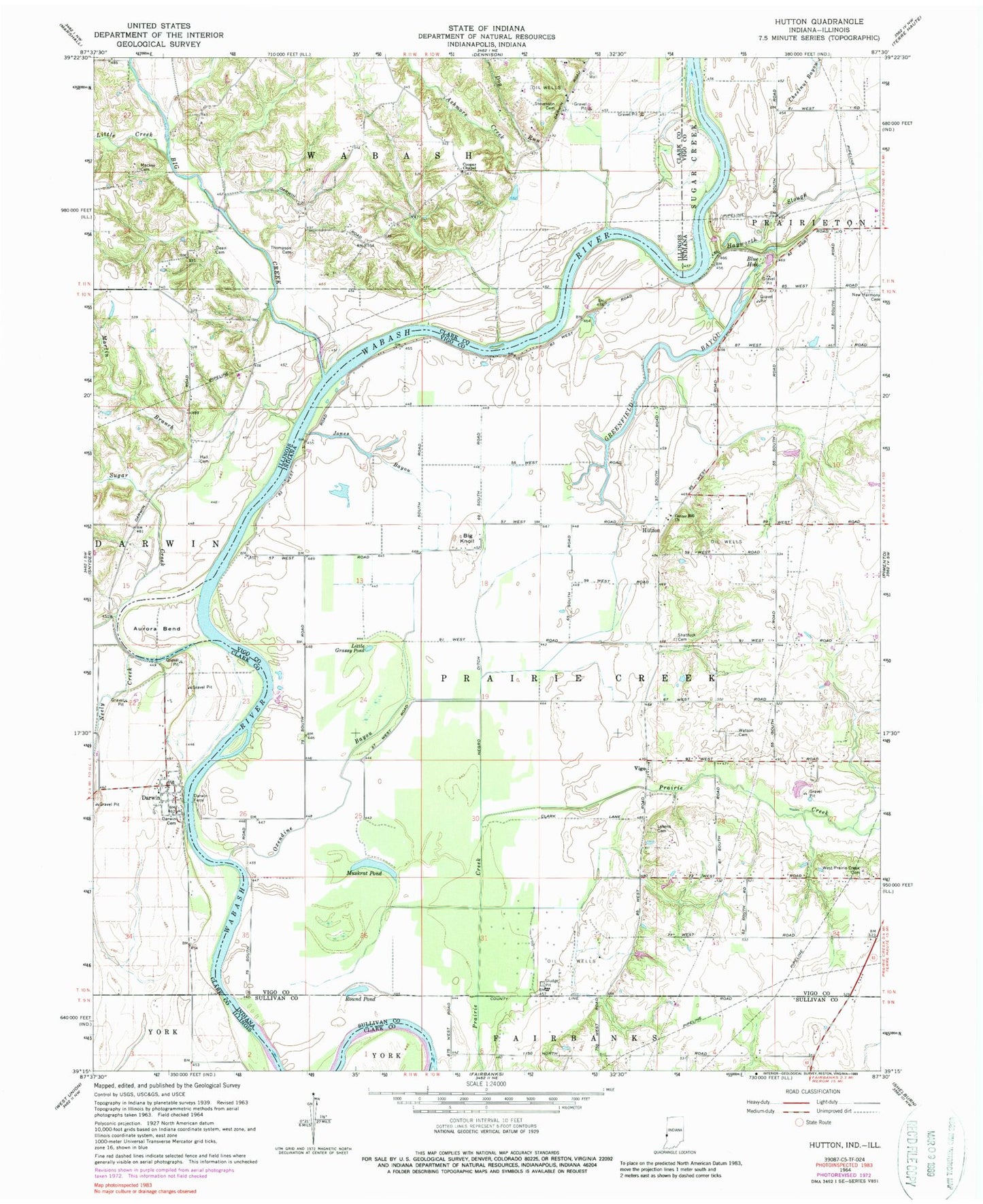
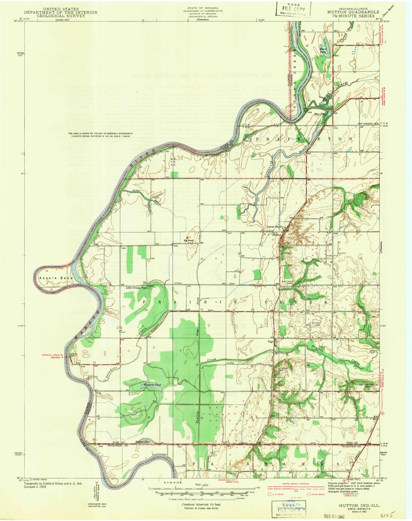
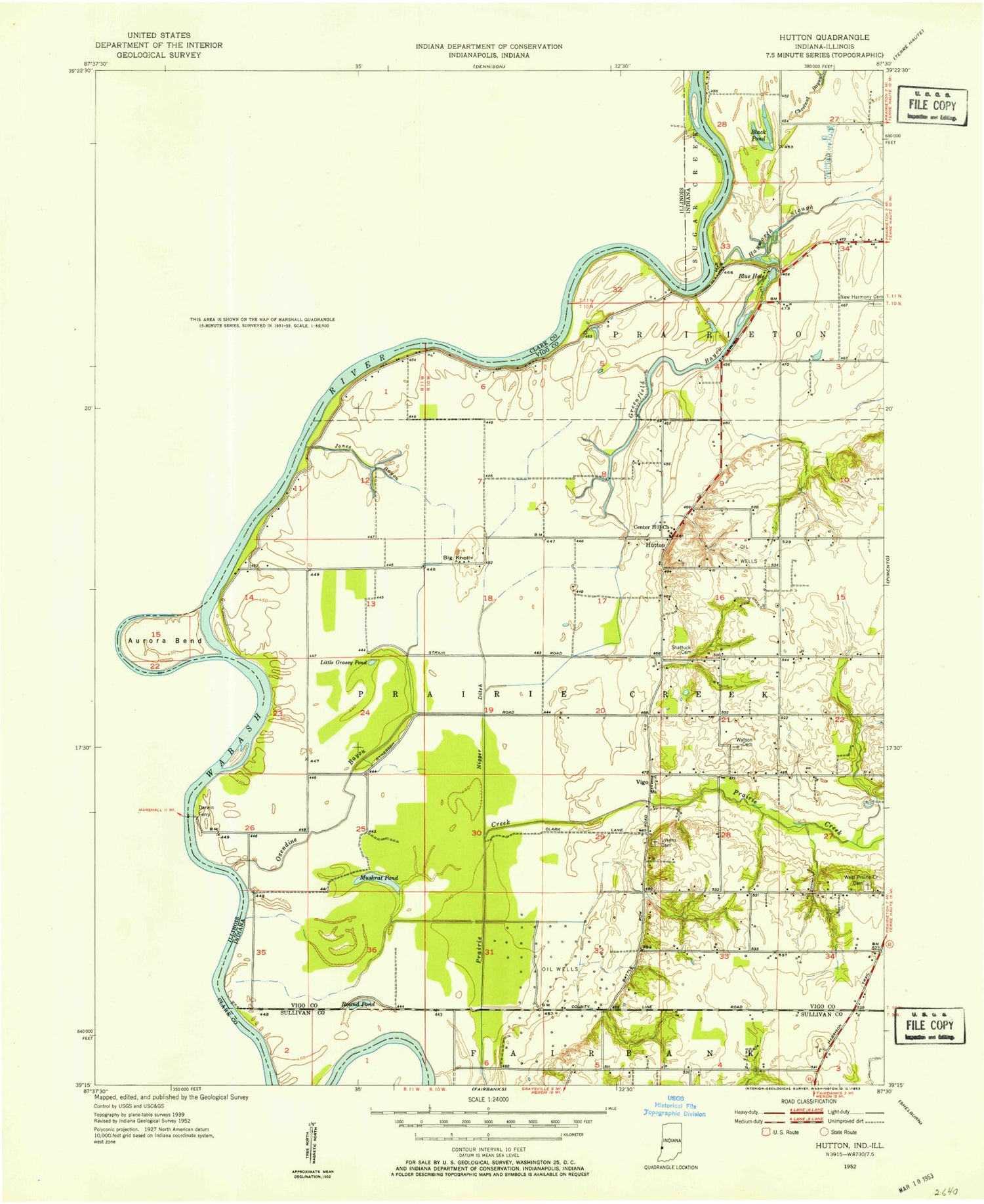
Classic USGS Hutton Indiana 7.5'x7.5' Topo Map
Couldn't load pickup availability
Historical USGS topographic quad map of Hutton in the states of Indiana, Illinois. Map scale may vary for some years, but is generally around 1:24,000. Print size is approximately 24" x 27"
This quadrangle is in the following counties: Clark, Sullivan, Vigo.
The map contains contour lines, roads, rivers, towns, and lakes. Printed on high-quality waterproof paper with UV fade-resistant inks, and shipped rolled.
Contains the following named places: Ashmore Creek, Aurora Bend, Big Creek, Big Knoll, Blue Hole, Bohn Ferry, Center Hill Church, Cooper Chapel, Darwin, Darwin Cemetery, Darwin Ferry, Dean Cemetery, Dog Run, Grassy Pond, Greenfield Bayou, Hall Cemetery, Hall School, Hayworth Slough, Higginbotham Field, Hutton, Liberty Square School, Lick Branch, Liffick Cemetery, Little Creek, Little Grassy Pond, Lykens Cemetery, Macke Cemetery, Martin Branch, Muskrat Pond, Neely Creek, Negro Ditch, Oxendine Bayou, Partridge Creek, Prairie Creek Township Fire Department, Round Pond, Shattuck Cemetery, South Prairie Creek, Stone Pond, Sugar Creek, Taylor Ford, Thompson Cemetery, Township of Prairie Creek, Vigo, Waters Ford, Watson Cemetery, West Prairie Creek Cemetery