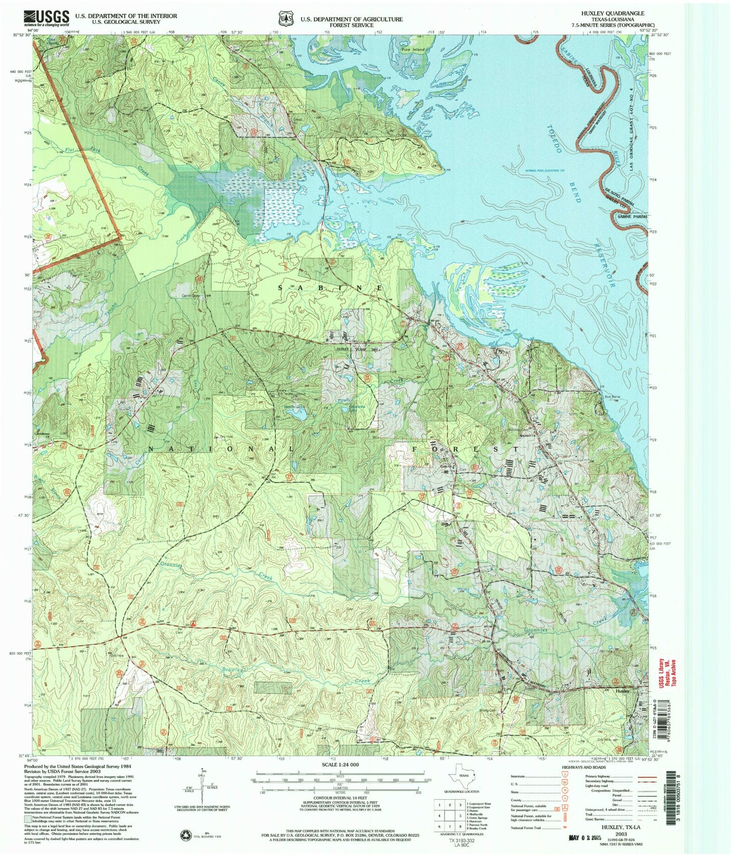
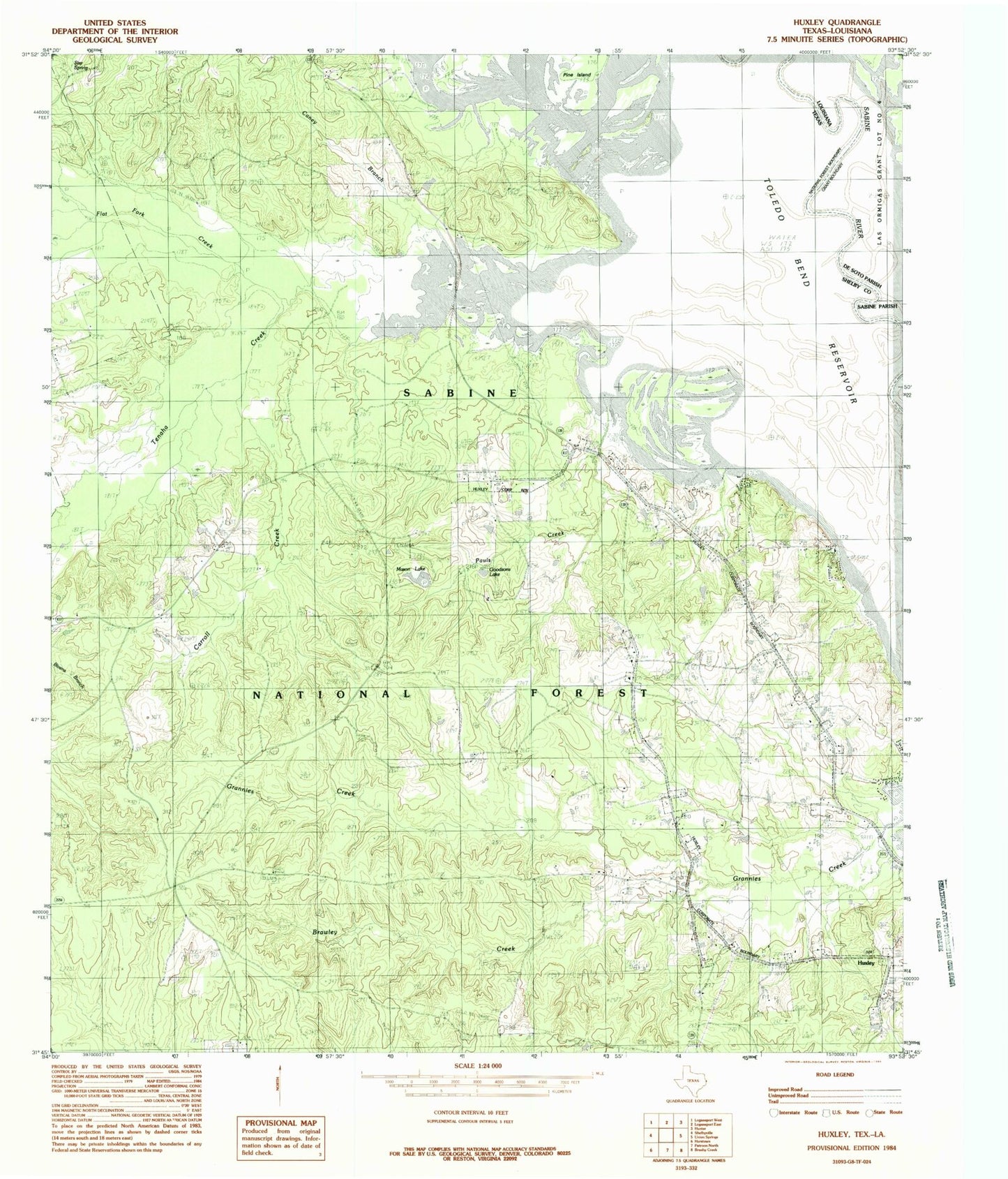
MyTopo
Classic USGS Huxley Texas 7.5'x7.5' Topo Map
Couldn't load pickup availability
Historical USGS topographic quad map of Huxley in the states of Texas, Louisiana. Map scale may vary for some years, but is generally around 1:24,000. Print size is approximately 24" x 27"
This quadrangle is in the following counties: De Soto, Sabine, Shelby.
The map contains contour lines, roads, rivers, towns, and lakes. Printed on high-quality waterproof paper with UV fade-resistant inks, and shipped rolled.
Contains the following named places: Ashton Cemetery, Boles Field, Brawley Creek, Caney Branch, Carroll Cemetery, Carroll Creek, Carrolltown Church, City of Huxley, Flat Fork Creek, Goodsons Lake, Holly Springs Cemetery, Horseshoe Lake, Huxley, Lydia Church, Mason Lake, National Forest Spring, Old River Lake, Pauls Creek, Pauls Store, Rayborn Church, Strong Cemetery, Tenaha Bayou, Tenaha Creek, Tenaha Lookout Tower, Tuckers Lake, Turkey Creek, Wildcat Bend, Wimberly Cemetery