MyTopo
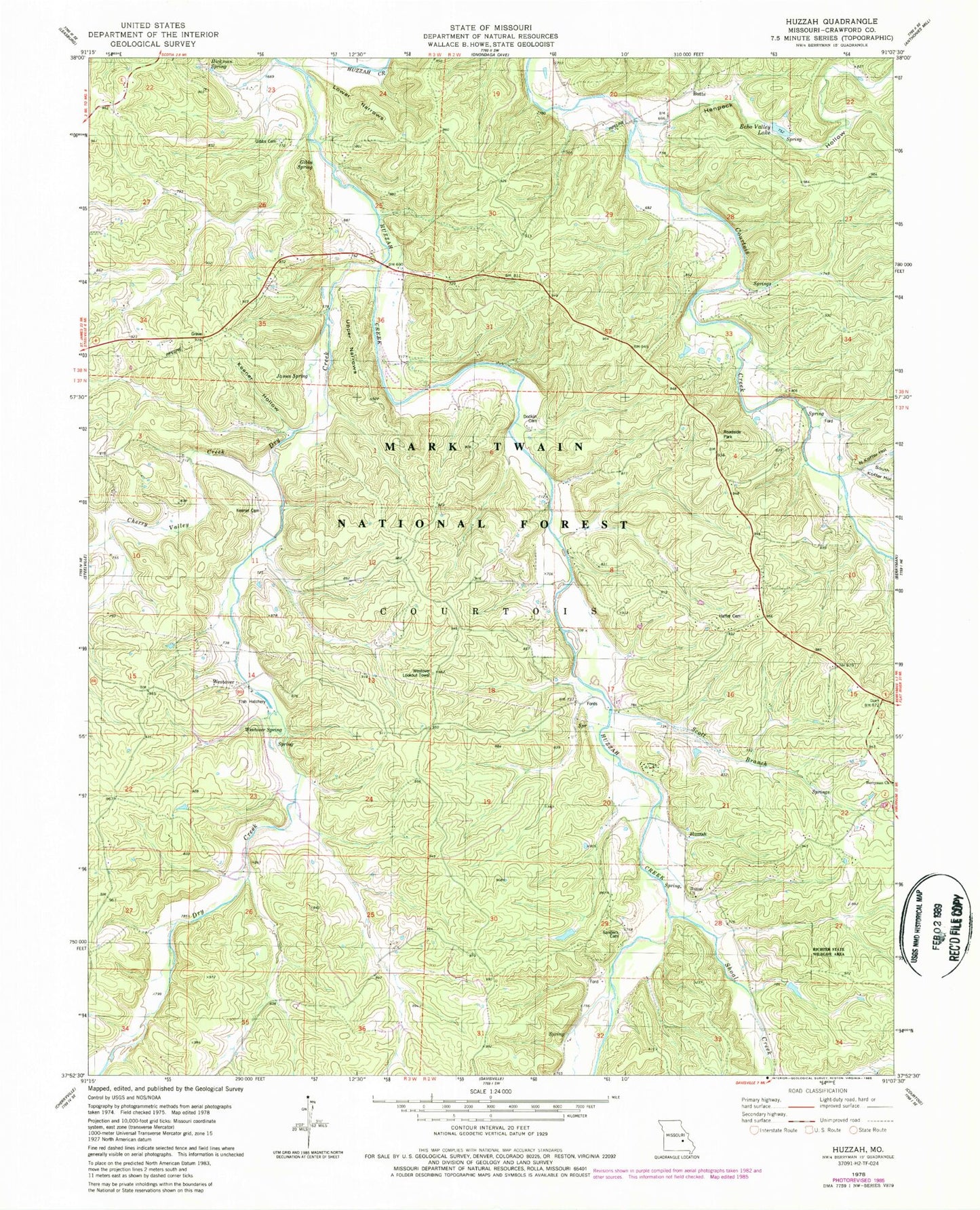
Classic USGS Huzzah Missouri 7.5'x7.5' Topo Map
Couldn't load pickup availability
Historical USGS topographic quad map of Huzzah in the state of Missouri. Typical map scale is 1:24,000, but may vary for certain years, if available. Print size: 24" x 27"
This quadrangle is in the following counties: Crawford.
The map contains contour lines, roads, rivers, towns, and lakes. Printed on high-quality waterproof paper with UV fade-resistant inks, and shipped rolled.
Contains the following named places: Service, Sanders Ford, Moutray Ford, Marys Hollow, McInnis Ford, Knox Iron Bank, Fort Hill, Fort Diggings Hollow, Evans Lead Mine, Blue Hole, Little Spring, Butts School (historical), Farrar School (historical), Huzzah School (historical), Dugan Branch, Westover Fisheries, Berryman Church, Butts, Cherry Valley Creek, Dry Creek, Echo Valley Lake, Gibbs Cemetery, Gibbs Spring, Haffer Cemetery, Henpeck Hollow, Hickman Spring, Huzzah, Huzzah Church, James Spring, Keener Cemetery, Keener Hollow, Lower Narrows, North Koffer Hollow, Richter State Wildlife Area, Sanders Cemetery, Scott Branch, Shoal Creek, South Koffer Hollow, Upper Narrows, Westover, Westover Spring, Westover School (historical), Ozark Gospel Center (historical), Valley View (historical), Slowenski School (historical), Gibbs School (historical), Service School (historical), Eagle Hurst Ranch Resort, Fishermans Dude Ranch, Valley View Roadside Park, Westover Lookout Tower, Dodkin Cemetery, Number 845 Dam, Number 846 Dam, Cobines Folly Dam, Glory Lake, Township of Courtois, Steelville Fire Protection District Station 3