MyTopo
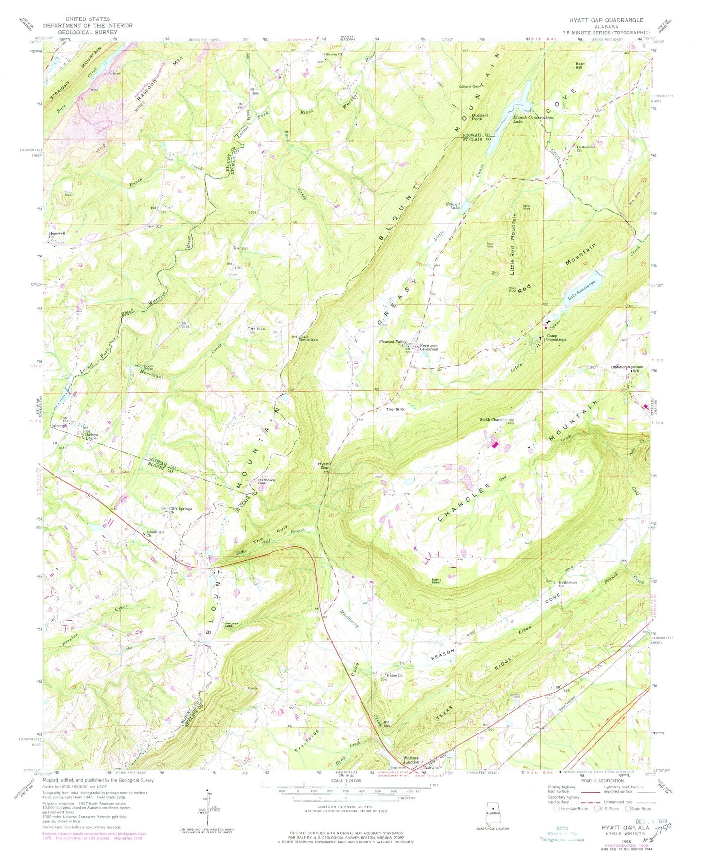
Classic USGS Hyatt Gap Alabama 7.5'x7.5' Topo Map
Couldn't load pickup availability
Historical USGS topographic quad map of Hyatt Gap in the state of Alabama. Typical map scale is 1:24,000, but may vary for certain years, if available. Print size: 24" x 27"
This quadrangle is in the following counties: Blount, Etowah, St. Clair.
The map contains contour lines, roads, rivers, towns, and lakes. Printed on high-quality waterproof paper with UV fade-resistant inks, and shipped rolled.
Contains the following named places: Bald Hill, Bethlehem Primitive Baptist Church, Bunch Creek, Buzzard Rock, Byrd Creek, Cliff Springs Church, Gilland Gap, Hopewell Church, Raccoon Mountain, Salem Baptist Church, Wadsworth Lake, Wadsworth Lake Dam, Reeves Lake Dam, Reeves Lake, Etowah Conservation Dam, Bellews Church, Mountain View, Bethlehem Cemetery, Bethlehem Independent Baptist Church, Harris Mill (historical), Bethlehem, Garigus Gap, Moodys Chapel, Moodys Chapel Cemetery, Moodys School (historical), Mount Pisgah Missionary Baptist Church, Hurricane Creek, Mount View Church, Union Hill Church of the Nazarene, Bethel Church, Straight Mountain Church, Mauldin Cemetery, Sweet Home Church, Awtreys Gap, Battle Gap, Beason Cove, Bethlehem Church, Blount Mountain, Camp Sumatanga, Chandler Mountain, Chandler Mountain School, Choate Cemetery, Crawfords Cove, Daileys Chapel, Early Creek, Etowah Conservation Lake, Ferguson Crossroad, Gilland Lake, Hathcock Gap, Hyatt Gap, Jake Creek, Little Gulf Branch, Little Red Mountain, Logan Branch, Pleasant Valley Church, Point Peter, Smith Chapel, Lake Sumatanga, Texas Ridge, The Gulf, The Sink, Union Church, Vance Payne Lake, Larry Jenkins Dam, Sumatanga Dam, Huff Dam, Chandler Mountain Church, Chandler Mountain Community Center, Clear Springs (historical), Creel Memorial Chapel, Deavers Springs (historical), Fidelity Church (historical), Horse Pens Forty, Rock Hill School (historical), Slate (historical), Yellow Bluff, Chandler Mountain, Mauldin (historical), Nash (historical), Nix (historical), Mauldin Post Office (historical), Nash Post Office (historical), Nix Post Office (historical), Beasons Mill (historical), Cedar Grove School (historical), Whitney Junction Fire Department, Gallant Volunteer Fire Department - Greasy Cove Station, Straight Mountain Volunteer Fire Department Station 2


