MyTopo
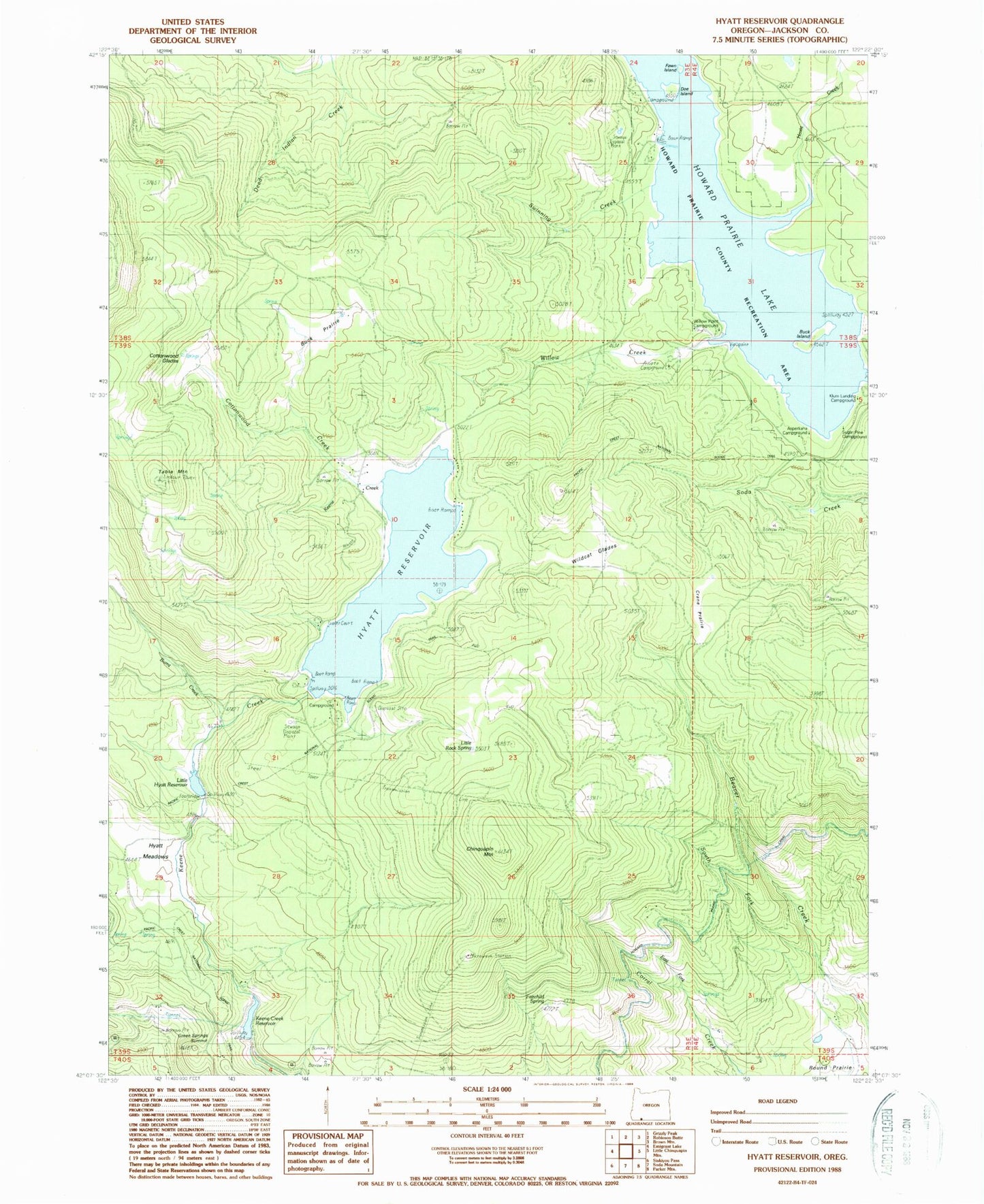
Classic USGS Hyatt Reservoir Oregon 7.5'x7.5' Topo Map
Couldn't load pickup availability
Historical USGS topographic quad map of Hyatt Reservoir in the state of Oregon. Map scale may vary for some years, but is generally around 1:24,000. Print size is approximately 24" x 27"
This quadrangle is in the following counties: Jackson.
The map contains contour lines, roads, rivers, towns, and lakes. Printed on high-quality waterproof paper with UV fade-resistant inks, and shipped rolled.
Contains the following named places: Asperkaha County Campground, Buck Island, Buck Prairie, Burnt Creek, Burnt Creek Ranch, Cascade-Siskiyou National Monument, Chinquapin Mountain, Cottonwood Creek, Cottonwood Glades, Crane Prairie, Doe Island, East Fork Corral Creek, Fairchild Spring, Fawn Island, Green Springs Summit, Grizzly Prairie, Howard Prairie, Howard Prairie County Recreation Area, Howard Prairie County Resort, Howard Prairie Dam, Howard Prairie Lake, Howard Prairie Lake Resort Marina, Howard Prairie Resort Jackson County Boat Ramp, Hoxie Creek, Hyatt Lake Bureau of Land Management Boat Ramp, Hyatt Lake Campground, Hyatt Lake Resort Boat Ramp, Hyatt Lake Resort Campers Cove Dock, Hyatt Lake Resort Marina, Hyatt Meadows, Hyatt Reservoir, Keene Creek Dam, Keene Creek Diversion Dam, Keene Creek Reservoir, Klum Landing County Campground, Klum Landing Jackson County Boat Ramp, Little Hyatt Reservoir, Little Rock Spring, South Fork Beaver Creek, Southeast Jackson Division, Sugar Pine County Group Campground, Summit Ranch, Swinning Creek, Swinning Spring, Table Mountain, Wildcat Glades, Willow Creek, Willow Point County Campground, Willow Point Jackson County Boat Ramp


