MyTopo
Classic USGS Hyattville Wyoming 7.5'x7.5' Topo Map
Couldn't load pickup availability
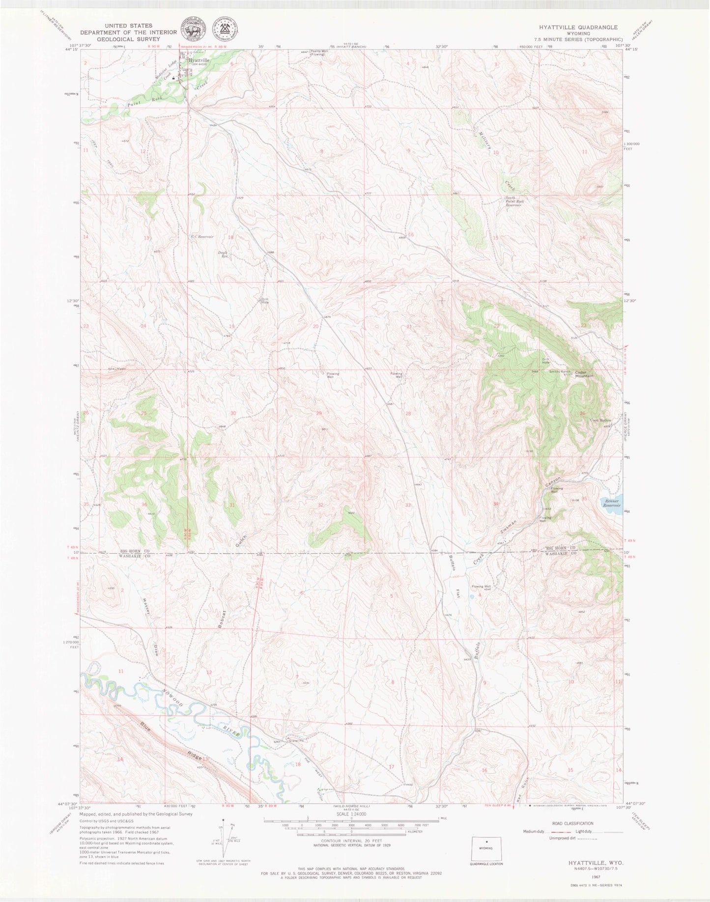
Historical USGS topographic quad map of Hyattville in the state of Wyoming. Map scale may vary for some years, but is generally around 1:24,000. Print size is approximately 24" x 27"
This quadrangle is in the following counties: Big Horn, Washakie.
The map contains contour lines, roads, rivers, towns, and lakes. Printed on high-quality waterproof paper with UV fade-resistant inks, and shipped rolled.
Contains the following named places: Bobcat Gulch, Buffalo Flat, Burgess Claim, C C Reservoir, Cedar Mountain, Coon Hollow, Doyle Reservoir, Hyattville, Hyattville Census Designated Place, Hyattville Post Office, Hyattville School, Massey Draw, Medicine Lodge Creek, Pearce Well, Renner Dam, Renner Reservoir, Smiths Ranch, South Paint Rock Reservoir, Ziesman Canyon