MyTopo
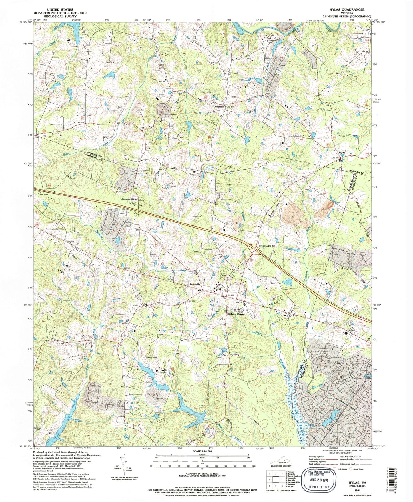
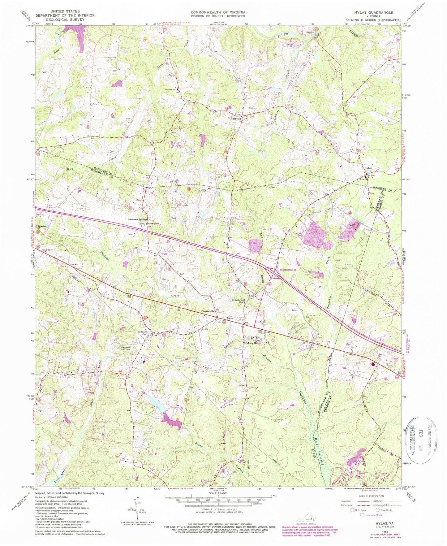
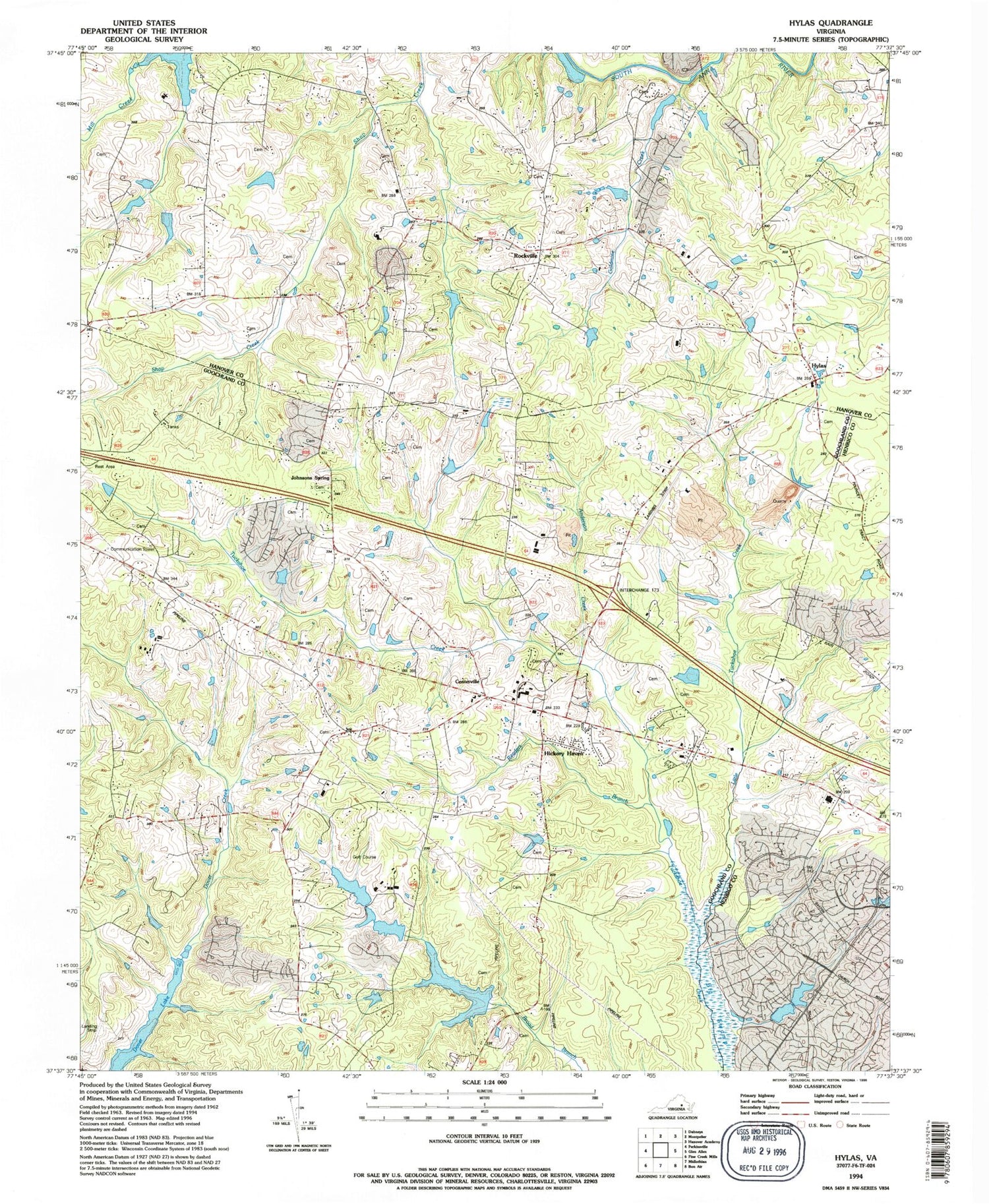
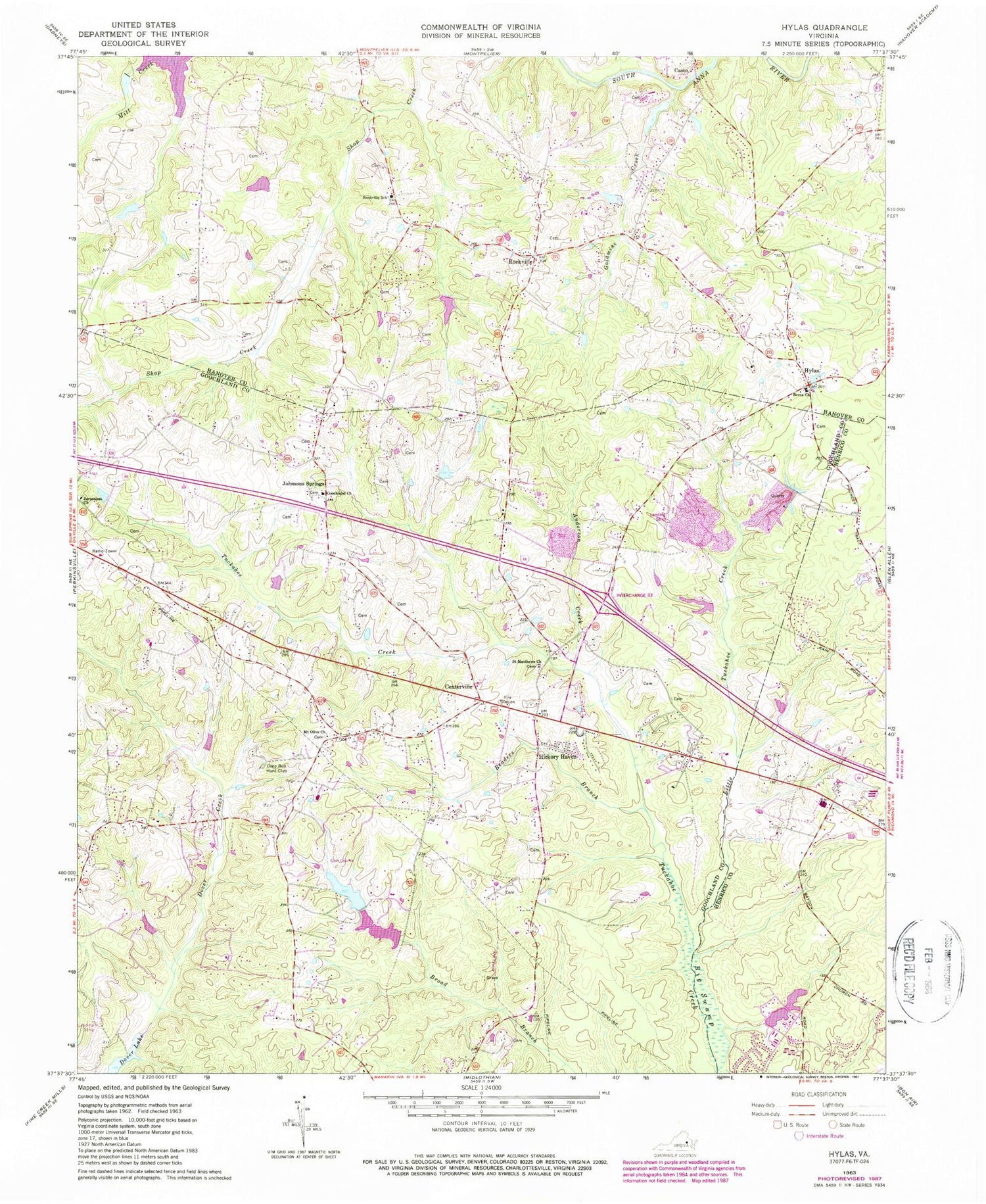
Classic USGS Hylas Virginia 7.5'x7.5' Topo Map
Couldn't load pickup availability
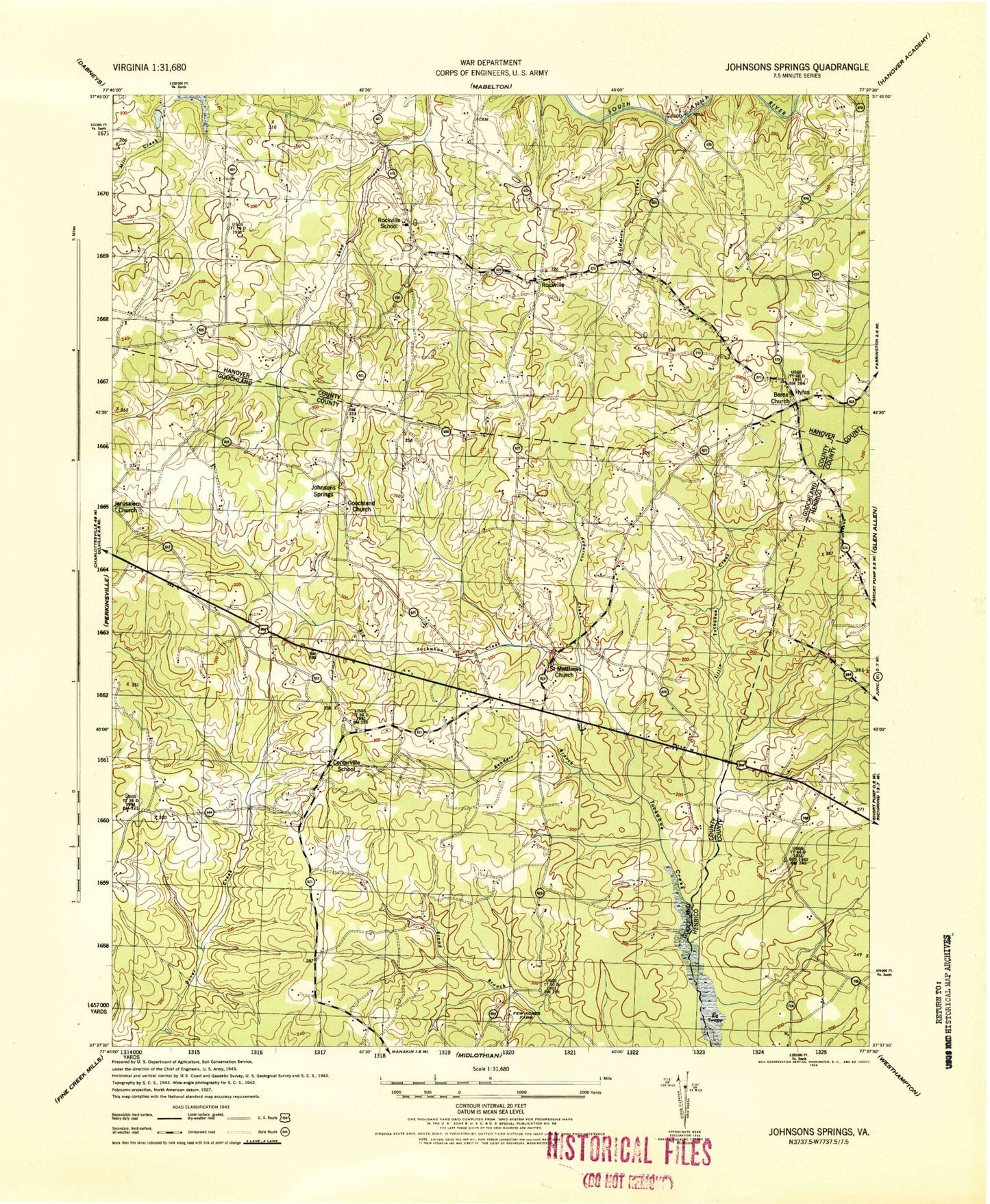
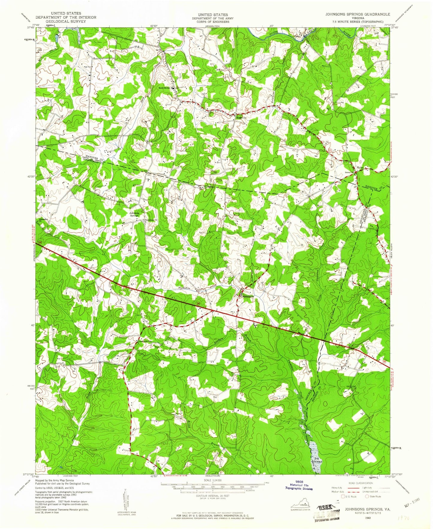
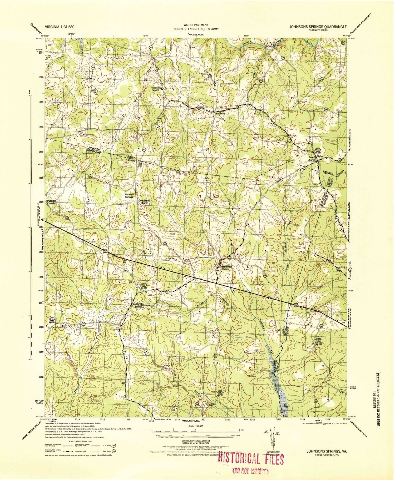
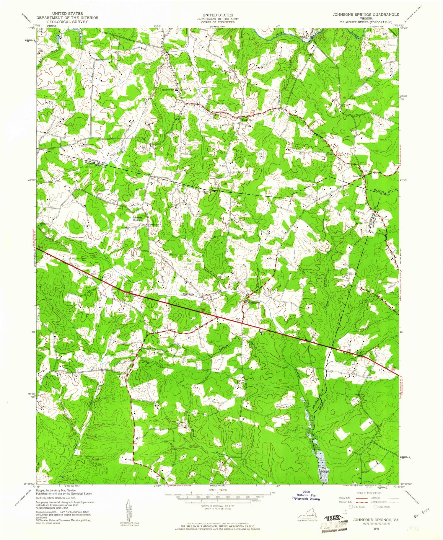
Historical USGS topographic quad map of Hylas in the state of Virginia. Map scale may vary for some years, but is generally around 1:24,000. Print size is approximately 24" x 27"
This quadrangle is in the following counties: Goochland, Hanover, Henrico.
The map contains contour lines, roads, rivers, towns, and lakes. Printed on high-quality waterproof paper with UV fade-resistant inks, and shipped rolled.
Contains the following named places: Anderson Creek, Anderson Creek Quarry, Auburn Chase, Bellview Gardens, Berea Church, Brittland, Broad Branch Dam, Broad Branch Lake, Broad Run, Broadview Shopping Center, Casco, Centerville, Centerville School, Childress Dam, Cochran Dam, Coffman Field, Dawnington Sabot, Deep Run Hunt Club, District 4, Dover Lake, Dover Run, Few Acres Farm, Fords, Gayton, Gayton Elementary School, Goldmine Creek, Goochland Church, Goochland County Volunteer Fire and Rescue Company 3 Centerville, Goosepoint, Hanover County Fire - EMS Company 9 - Rockville Volunteer Fire Station, Harding Branch, Henrico County Firehouse 13, Hermitage Country Club, Hermitage Hamlet, Hickory Haven, Homewood Park, Hylas, Jerusalem Church, Johnsons Springs, Lapetite Academy, Little Tuckahoe Creek, Missionary Learning Center, Mount Olive Church, Mount Olive Terrace, Nelwood Estates, Nuckols Farm Elementary School, Oak Grove Estates, Pickels, Readers Branch, Rockville, Rockville Post Office, Rockville School, Sabot Airport, Saint Matthews Church, Samary Forest, Sycamore Creek, WGNZ-AM (Tuckahoe), Wheatlands, Windy Run, Wingmead, Woods Acres, ZIP Codes: 23103, 23146
