MyTopo
Classic USGS Hylton Ranch Wyoming 7.5'x7.5' Topo Map
Regular price
$16.95
Regular price
Sale price
$16.95
Unit price
per
Couldn't load pickup availability
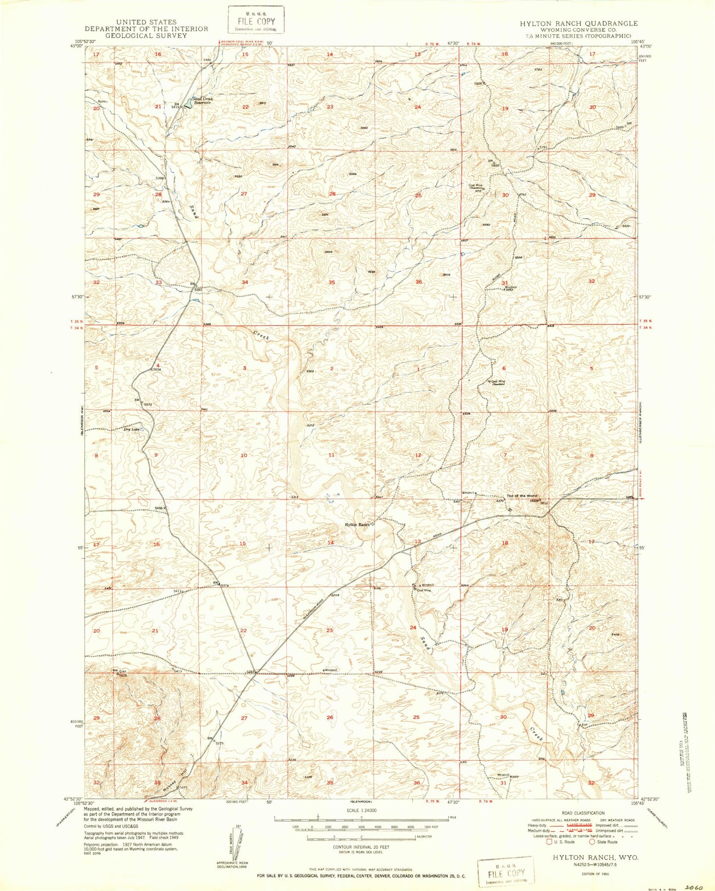
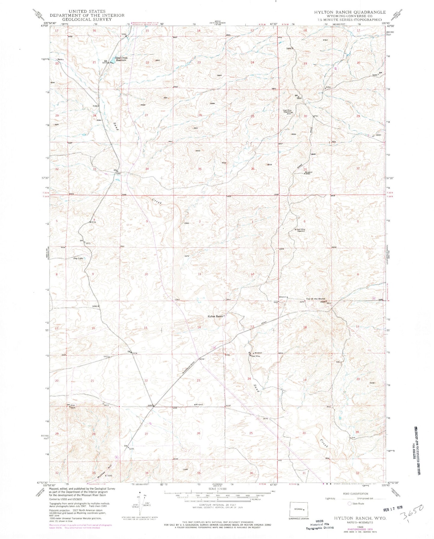
Historical USGS topographic quad map of Hylton Ranch in the state of Wyoming. Map scale may vary for some years, but is generally around 1:24,000. Print size is approximately 24" x 27"
This quadrangle is in the following counties: Converse.
The map contains contour lines, roads, rivers, towns, and lakes. Printed on high-quality waterproof paper with UV fade-resistant inks, and shipped rolled.
Contains the following named places: Dry Lake, Glenrock Volunteer Fire Department - Rolling Hills Station, Hylton Ranch, Irvine Pit, Monkey Hill, Rolling Hills, Sand Creek Dam, Sand Creek Reservoir, Top of the World, Town of Rolling Hills