MyTopo
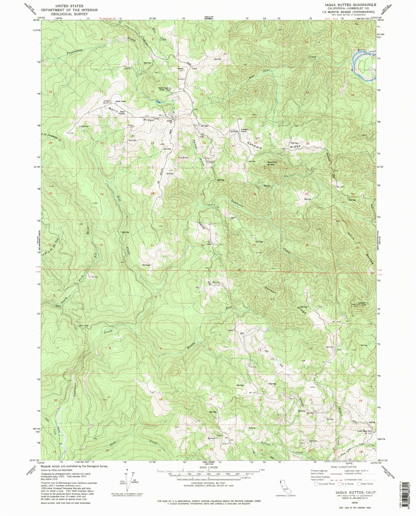
Classic USGS Iaqua Buttes California 7.5'x7.5' Topo Map
Couldn't load pickup availability
Historical USGS topographic quad map of Iaqua Buttes in the state of California. Map scale may vary for some years, but is generally around 1:24,000. Print size is approximately 24" x 27"
This quadrangle is in the following counties: Humboldt.
The map contains contour lines, roads, rivers, towns, and lakes. Printed on high-quality waterproof paper with UV fade-resistant inks, and shipped rolled.
Contains the following named places: Ashfield Butte, Ashfield Ridge, Barry Ridge, Bell Creek, Blue Slide Creek, Booths Run, California Department of Forestry and Fire Station Kneeland Helitack Base, Fish Creek, Gordon Ridge, Humboldt County, Iaqua Buttes, Iaqua Kneeland Cemetery, Iaqua School, KAEF-TV (Arcata), KECU-FM (Eureka), KEET-TV (Eureka), KFMI-FM (Eureka), KHSU-FM (Arcata), KIEM-TV (Eureka), Kneeland Airport, Kneeland Elementary School, KRED-FM (Eureka), KVIQ-TV (Eureka), KXGO-FM (Arcata), KZJA-TV (Eureka), Lone Star Junction, Low Gap, Painter Gulch, Pine Butte, ZIP Code: 95549