MyTopo
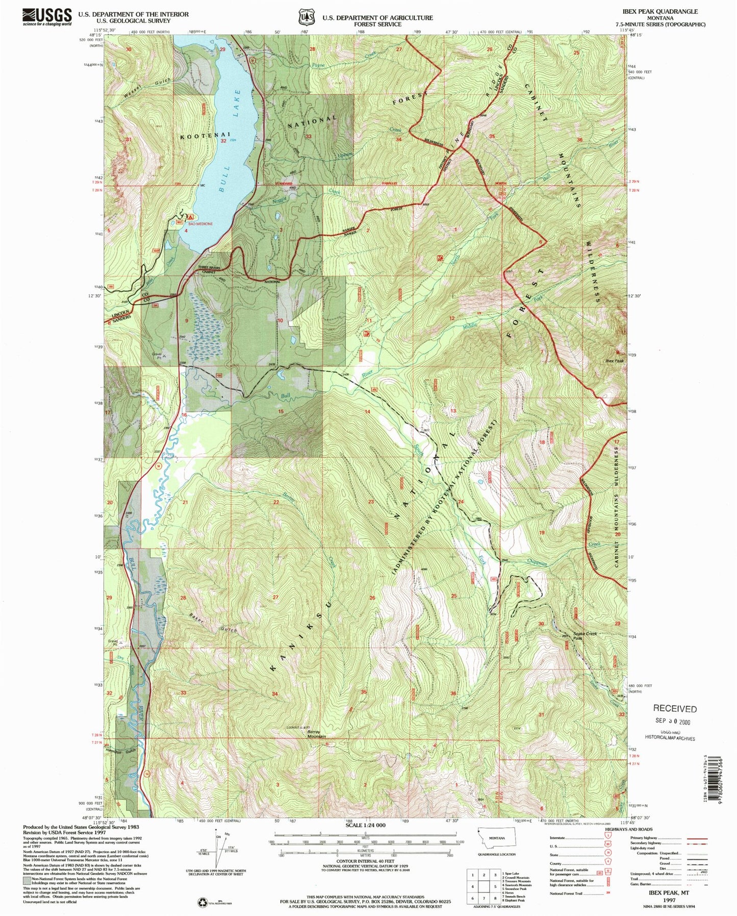
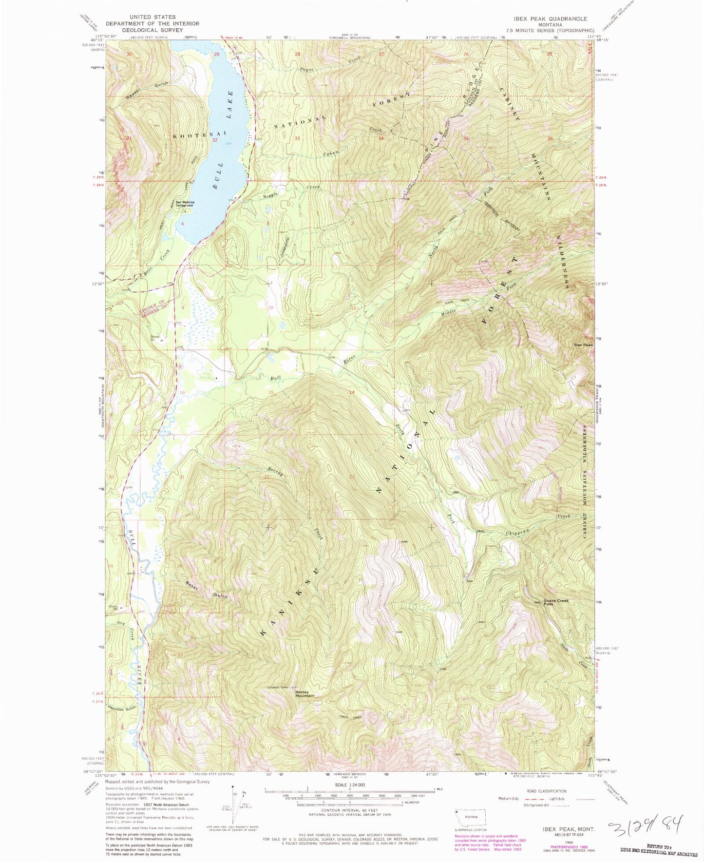
Classic USGS Ibex Peak Montana 7.5'x7.5' Topo Map
Couldn't load pickup availability
Historical USGS topographic quad map of Ibex Peak in the state of Montana. Map scale may vary for some years, but is generally around 1:24,000. Print size is approximately 24" x 27"
This quadrangle is in the following counties: Lincoln, Sanders.
The map contains contour lines, roads, rivers, towns, and lakes. Printed on high-quality waterproof paper with UV fade-resistant inks, and shipped rolled.
Contains the following named places: 28N33W03BABC01 Well, 28N33W04BDAC01 Well, 28N33W09BAAA01 Well, 28N33W09BADC01 Well, 28N33W09BDDB01 Well, 28N33W10DCAB01 Well, 29N33W29DABB01 Well, 29N33W29DACD01 Well, 29N33W32AAAB01 Well, 29N33W32ADDC01 Well, 29N33W32DACD01 Well, Bad Medicine Campground, Bad Medicine Spires, Baker Gulch, Berray Creek, Berray Mountain, Berray Mountain Trail, Bull Lake, Bull Lake Census Designated Place, Chippewa Creek, Dry Creek, Hamilton Gulch, Ibex Peak, Middle Fork Bull River, Noggle Creek, North Fork Bull River, Payne Creek, Ross Creek, Snake Creek Pass, South Fork Bull River, Upham Creek, Weasel Gulch