MyTopo
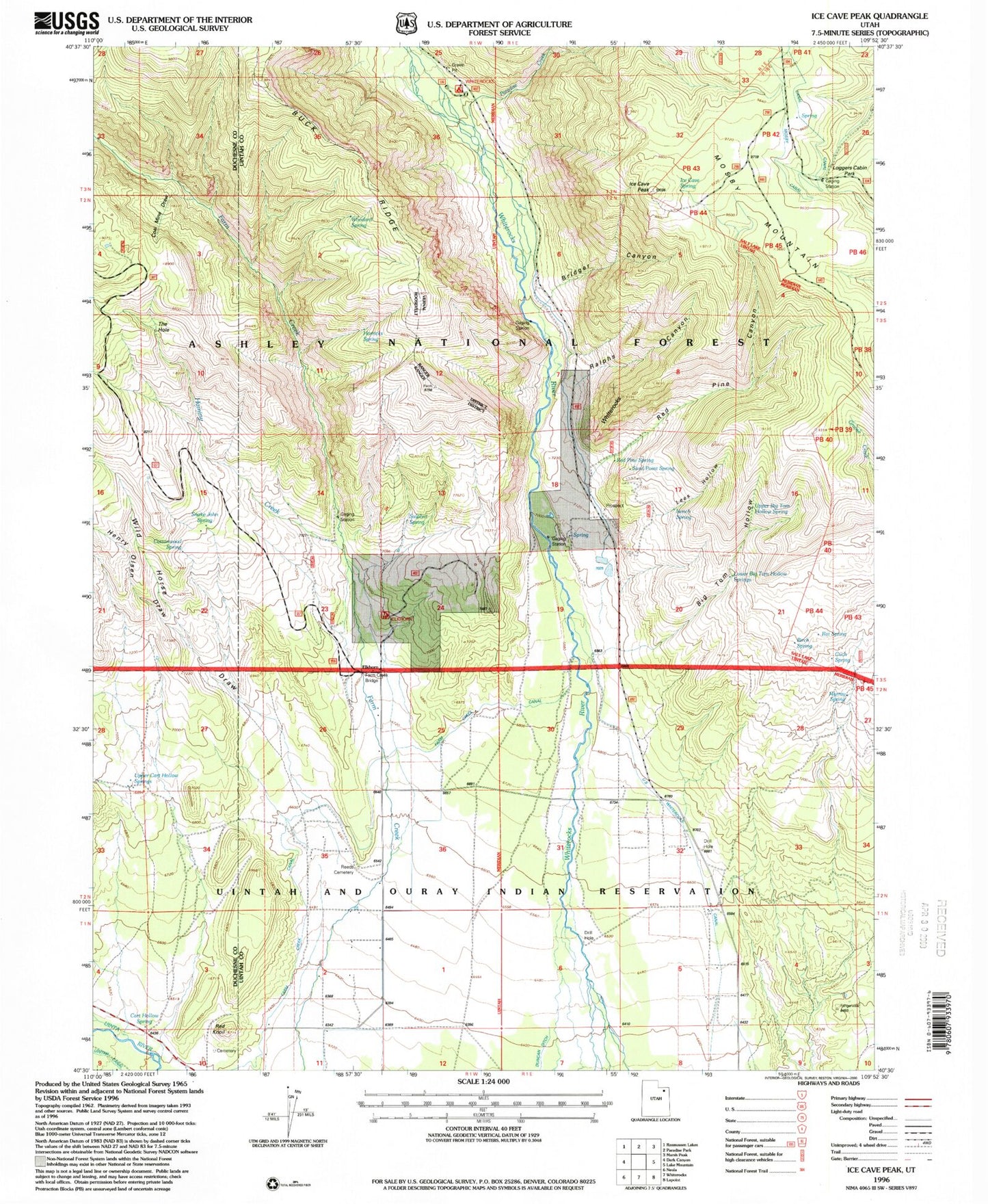
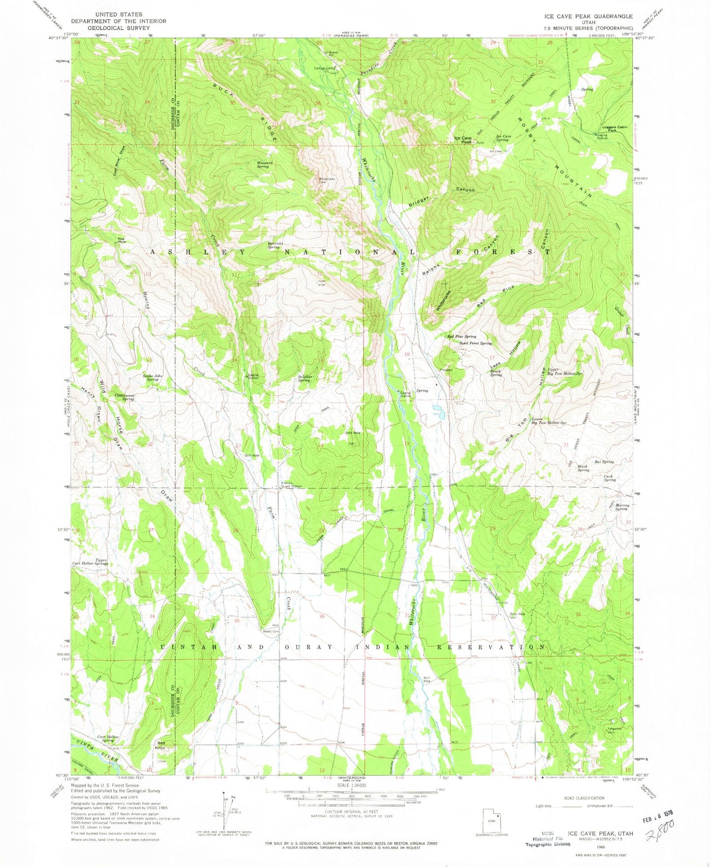
Classic USGS Ice Cave Peak Utah 7.5'x7.5' Topo Map
Couldn't load pickup availability
Historical USGS topographic quad map of Ice Cave Peak in the state of Utah. Typical map scale is 1:24,000, but may vary for certain years, if available. Print size: 24" x 27"
This quadrangle is in the following counties: Duchesne, Uintah.
The map contains contour lines, roads, rivers, towns, and lakes. Printed on high-quality waterproof paper with UV fade-resistant inks, and shipped rolled.
Contains the following named places: Bench Spring, Big Tom Hollow, Birch Spring, Bridger Canyon, Cart Hollow Spring, Coal Mine Draw, Cottonwood Spring, Cuch Spring, Elkhorn Guard Station, Farm Creek Canal, Horricks Spring, Ice Cave Peak, Ice Cave Spring, Lees Hollow, Loggers Cabin Park, Lower Big Tom Hollow Springs, Murray Spring, Ralphs Canyon, Rat Spring, Red Knoll, Red Pine Canyon, Red Pine Spring, Reeds Cemetery, Sand Point Spring, Snake John Spring, Sulphur Spring, The Hole, Upper Big Tom Hollow Spring, Upper Cart Hollow Springs, Whiterocks, Whiterocks Canal, Woodard Spring, Henry Olsen Draw, Hominy Creek, Mosby Mountain, Paradise Creek, Wild Horse Draw, Farm Creek Bridge, Bull Pasture, Farm Creek Grazing Enclosure, Bathtub Trough, East Cart Hollow Reservoir, Elkhorn Trough, Whiterocks Campground