MyTopo
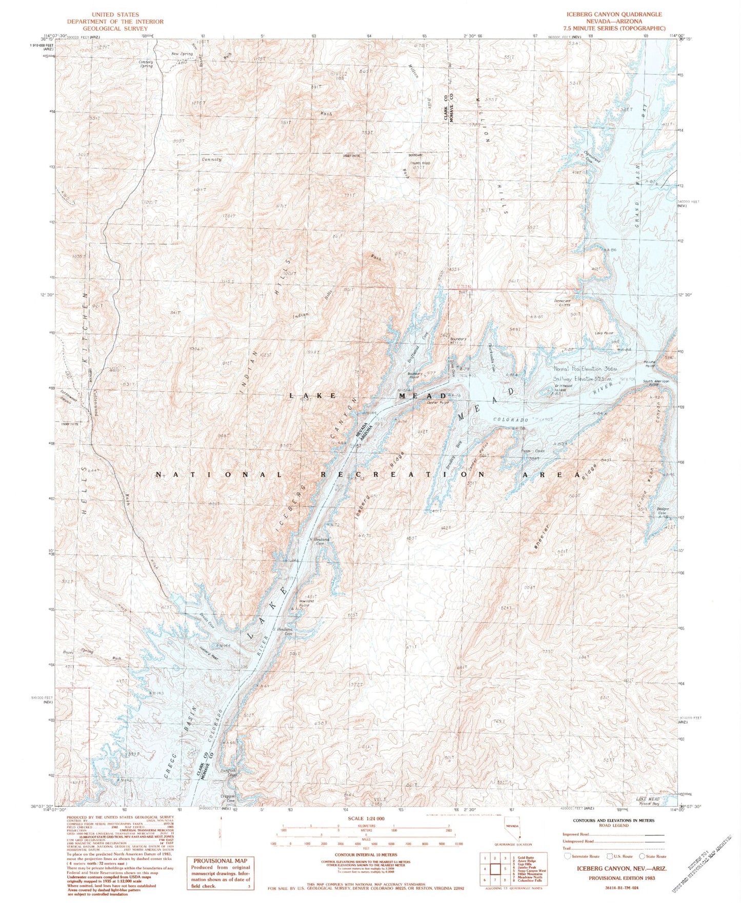
Classic USGS Iceberg Canyon Nevada 7.5'x7.5' Topo Map
Couldn't load pickup availability
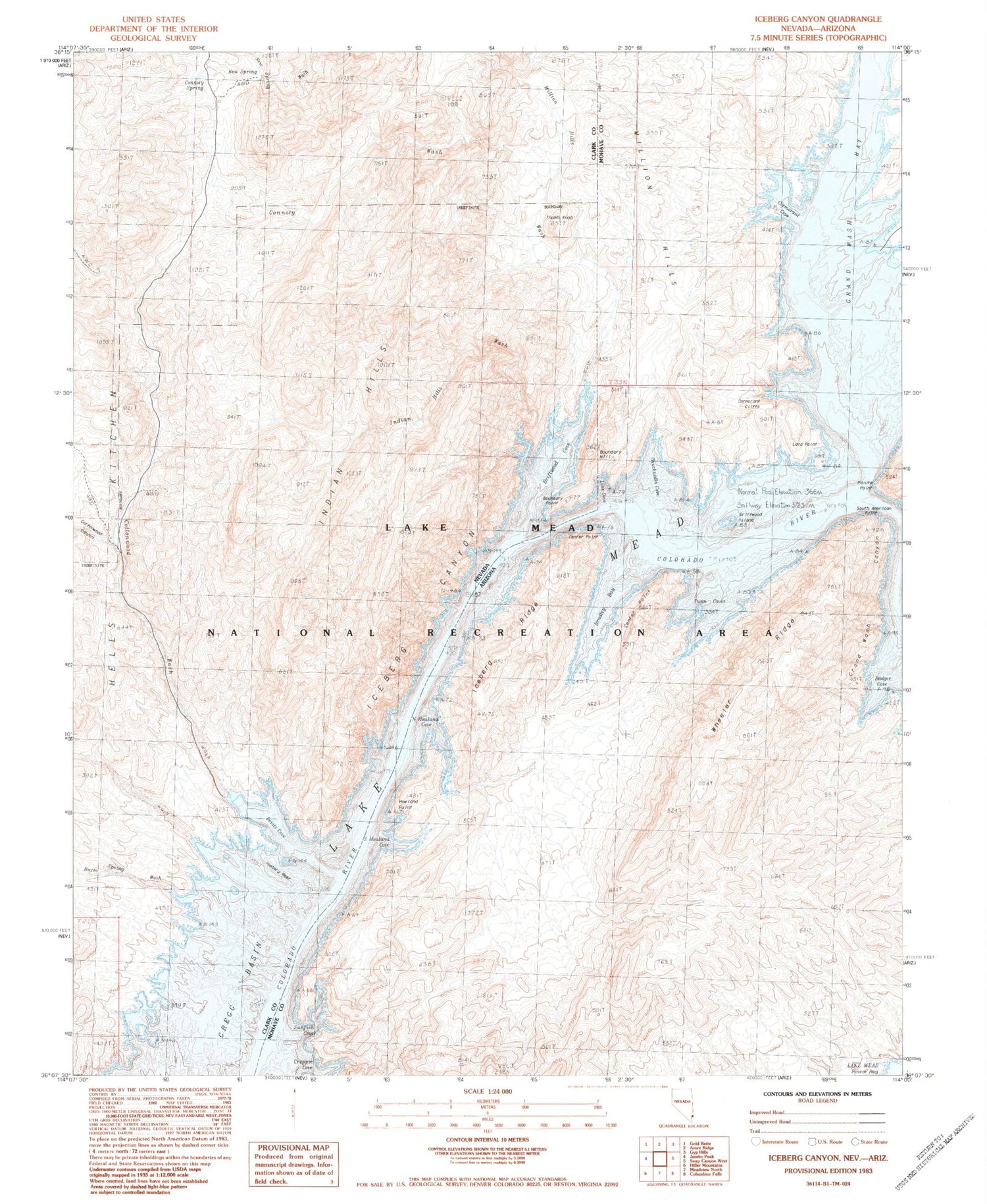
Historical USGS topographic quad map of Iceberg Canyon in the states of Nevada, Arizona. Typical map scale is 1:24,000, but may vary for certain years, if available. Print size: 24" x 27"
This quadrangle is in the following counties: Clark, Mohave.
The map contains contour lines, roads, rivers, towns, and lakes. Printed on high-quality waterproof paper with UV fade-resistant inks, and shipped rolled.
Contains the following named places: Boundary Hill, Million Hills Wash, Boundary Point, Burro Spring Wash, Connoly Wash, Cottonwood Canyon, Cottonwood Wash, Devils Cove, Driftwood Cove, Iceberg Reef, Indian Hills, New Spring, New Spring Wash, Connoly Spring, Thumb Knob, Iceberg Canyon, Indian Hills Wash, Iceberg Rapid, Badger Cove, Bradley Bay, Center Point, Chuckwalla Cove, Crappie Cove, Grand Wash Bay, Grand Wash Canyon, Howland Point, Iceberg Ridge, Line Cove, North Howland Cove, Paiute Point, Pigeon Wash, South Howland Cove, Sunfish Cove, Twin Coves, Wheeler Ridge, Driftwood Island, South American Point, Cormorant Cliffs, Cormorant Cove, Lava Point


