MyTopo
Classic USGS Ida Grove Iowa 7.5'x7.5' Topo Map
Couldn't load pickup availability
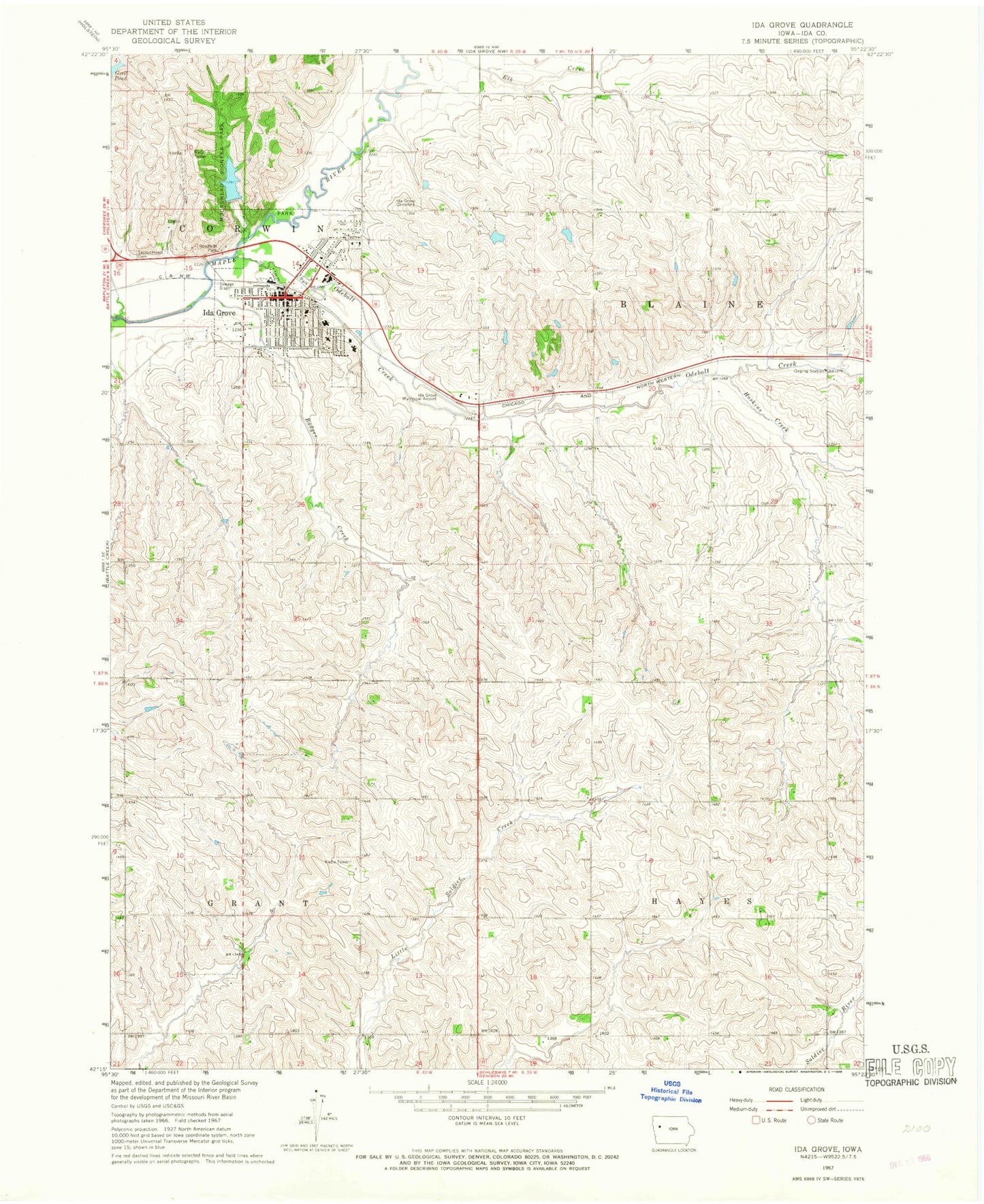
Historical USGS topographic quad map of Ida Grove in the state of Iowa. Map scale may vary for some years, but is generally around 1:24,000. Print size is approximately 24" x 27"
This quadrangle is in the following counties: Ida.
The map contains contour lines, roads, rivers, towns, and lakes. Printed on high-quality waterproof paper with UV fade-resistant inks, and shipped rolled.
Contains the following named places: Badger Creek, Badger Creek Park, Battle Creek Ida Grove Elementary School, Bread of Life Faith Center, Chain Lake, City of Ida Grove, Cobb Memorial Park, Family Eyecare Center, Farmers Co-op Company Elevator, Forbes Farms, GOMACO University, Grant Center Country Schoolhouse, Hayes Chapel Cemetery, Horn Memorial Hospital, Hoskins Creek, Ida County Courthouse, Ida County Sheriff's Office, Ida Grove, Ida Grove Ambulance Service, Ida Grove Baptist Church, Ida Grove Cemetery, Ida Grove Church of God, Ida Grove City Library, Ida Grove City Park, Ida Grove Community Hall, Ida Grove Golf Club, Ida Grove Mercy Medical Clinic, Ida Grove Municipal Airport, Ida Grove Police Department, Ida Grove Post Office, Ida Grove Volunteer Fire Department, Iowa Osteopathic Institute, KIDA-FM (Ida Grove), Moorehead Cemetery, Moorehead Historical Museum, Moorehead Pioneer Park, Moorehead Pioneer Park Dam, Morningside Care Center, Oak Grove Plaza, Odebolt - Arthur - Battle Creek - Ida Grove High School, Odebolt Creek, Pleasant Valley Trail, Sacred Heart Catholic Church, Sacred Heart Cemetery, Saint Paul Lutheran Church, Schug Farm, Sinnott and Toben Medical Arts Building, Stewart Farm, Tin Can Ranch, Township of Blaine, Township of Corwin, Township of Grant, Township of Hayes, United Methodist Church, Westminster Presbyterian Church, Winebrenner Church of God, Wunschel Farms, ZIP Code: 51445


