MyTopo
Classic USGS Ida Michigan 7.5'x7.5' Topo Map
Couldn't load pickup availability
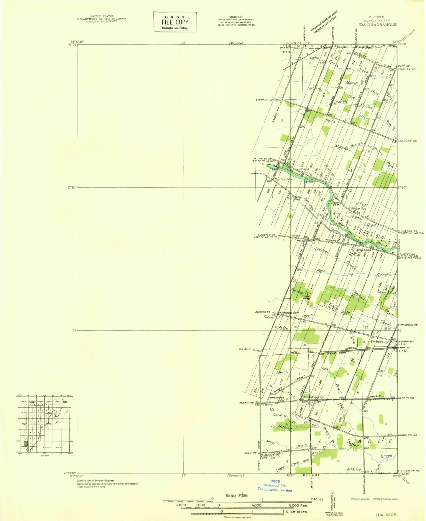
Historical USGS topographic quad map of Ida in the state of Michigan. Map scale may vary for some years, but is generally around 1:24,000. Print size is approximately 24" x 27"
This quadrangle is in the following counties: Monroe.
The map contains contour lines, roads, rivers, towns, and lakes. Printed on high-quality waterproof paper with UV fade-resistant inks, and shipped rolled.
Contains the following named places: Barnaby Drain, Bethlehem Cemetery, Blanchett Farms, Bridge School, Community Christian Fellowship, Cooper Snell and Ansel Drain, Cornerstone Baptist Church, Doty Cemetery, Doty Farms, Federman Post Office, Federman Station, Grape, Grape Missionary Church, Grape Post Office, Hitting Drain, Ida, Ida Brown Library, Ida Census Designated Place, Ida Drain, Ida Elementary School, Ida High School, Ida Middle School, Ida Post Office, Ida Station, Ida Township Hall, Ida Township Volunteer Fire Department, Ida United Methodist Church, Immanuel Cemetery, Immanuel Church, King Cemetery, Kohlman Farms, Little White Stone Church, Lockwood Drain, Lulu, Lulu Cemetery, Lulu Post Office, Lulu Station, Lulu United Methodist Church, Macon Creek, Maplewood Cemetery, Miller Creek, Opferman Farms, Palmatier Farms, Peter Seite Tavern and Stagecoach Inn Historical Marker, Peters Drain, Prince of Peace Church, Raisinville Post Office, Raisinville Station, Rath Cemetery, Rauch Drain, S P Farms, Saint Joseph Cemetery, Saint Joseph's Church, Saint Matthew's Lutheran Cemetery, Saline River, Seitz Drain, Shober Number One Drain, Sortor Drain, Stadler Farms, Strasburg, Strasburg Post Office, Strasburg Station, Summerfield and Ida Drain, Township of Raisinville, True Gospel Church, West Bates Drain, West Ida Emmanuel Lutheran Church Cemetery, Wilderness Retreat Campgrounds, Wittkop Drain, ZIP Code: 48140


