MyTopo
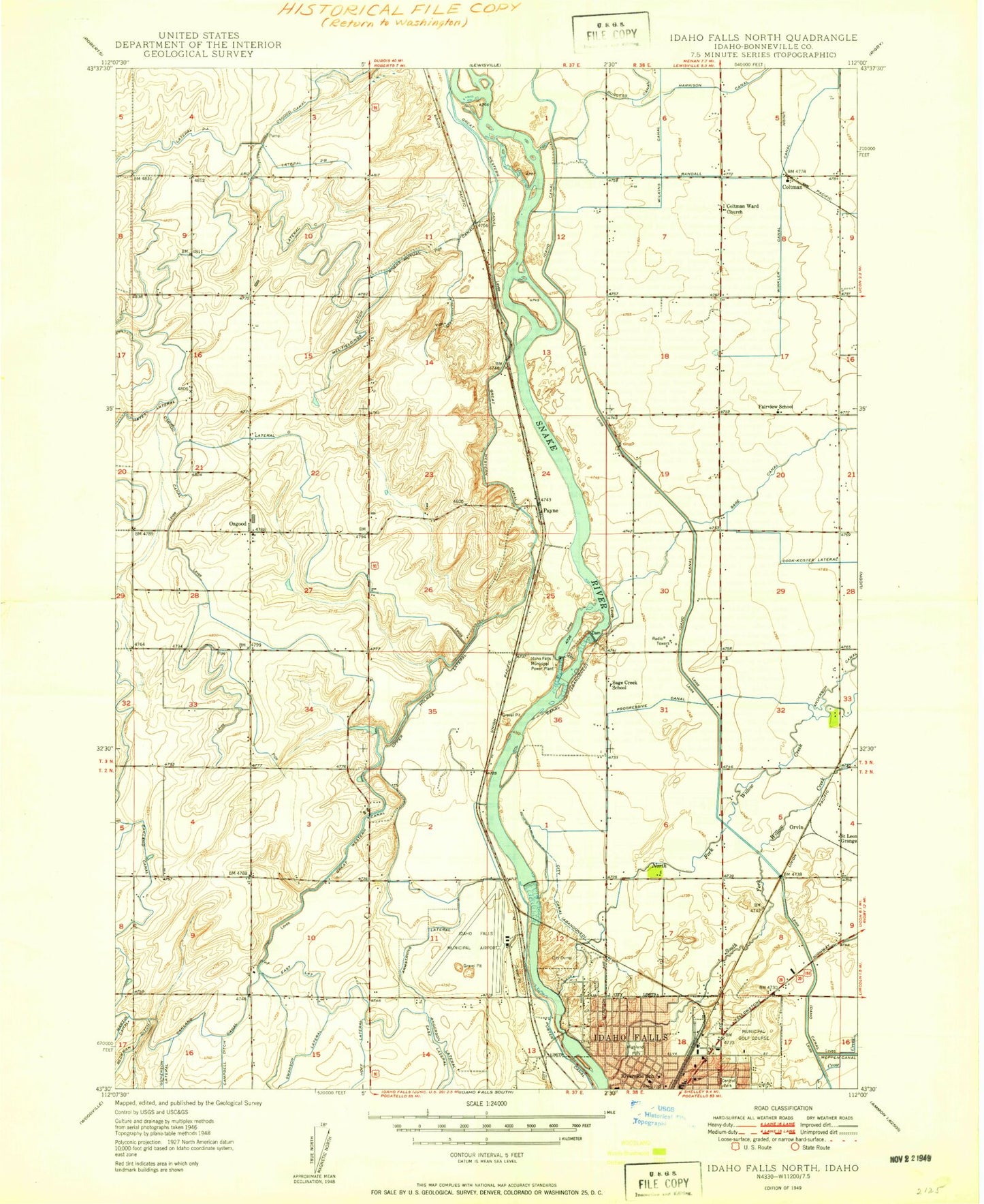
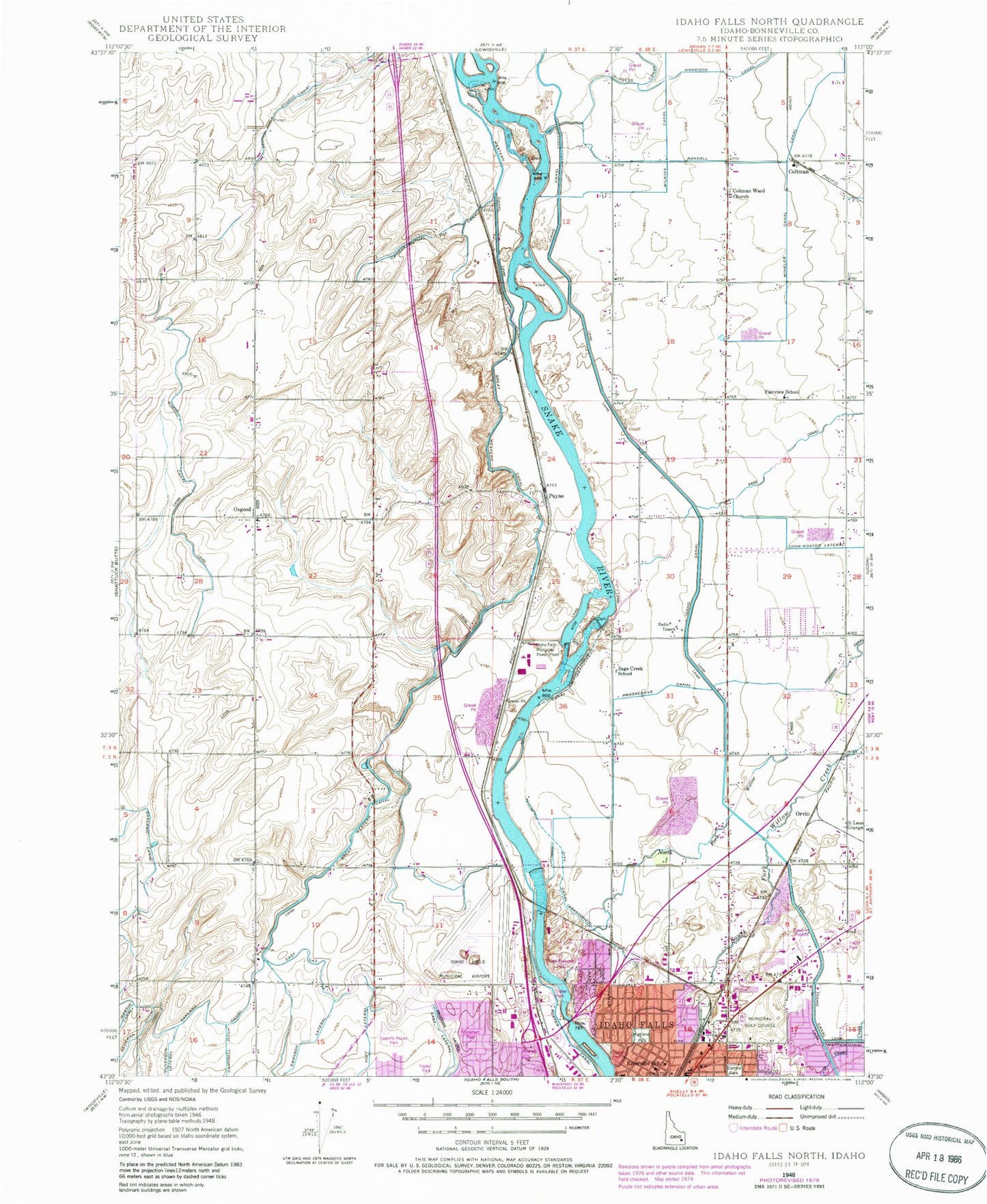
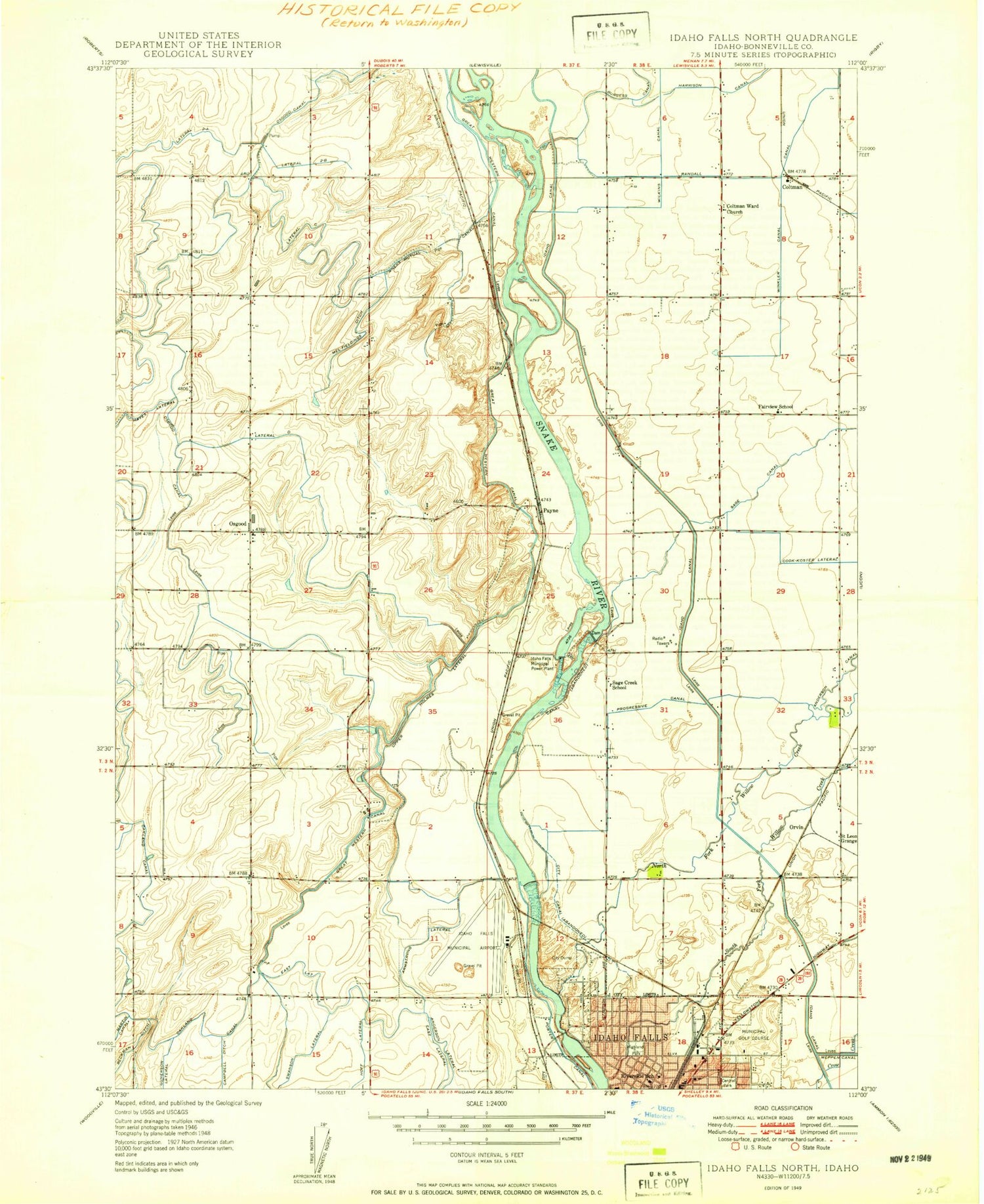
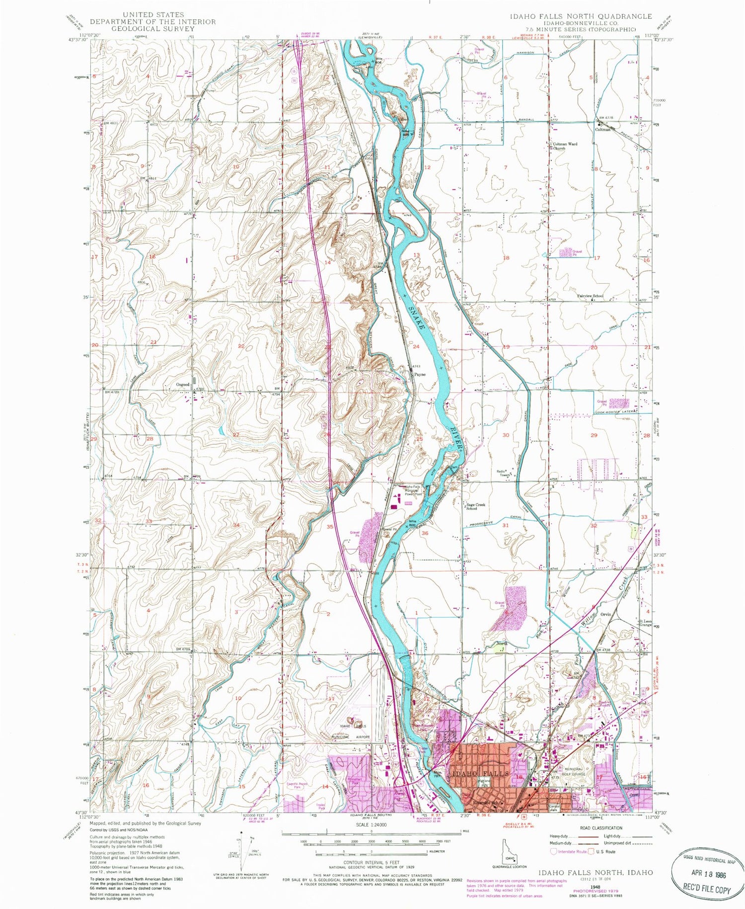
Classic USGS Idaho Falls North Idaho 7.5'x7.5' Topo Map
Couldn't load pickup availability
Historical USGS topographic quad map of Idaho Falls North in the state of Idaho. Map scale may vary for some years, but is generally around 1:24,000. Print size is approximately 24" x 27"
This quadrangle is in the following counties: Bonneville.
The map contains contour lines, roads, rivers, towns, and lakes. Printed on high-quality waterproof paper with UV fade-resistant inks, and shipped rolled.
Contains the following named places: A H Bush Elementary School, Anares Park, Anderson Lateral, Armstrong Lateral, Bureau of Land Management Idaho Falls District, Bureau of Land Management Upper Snake Field Office, Campbell Ditch, Central Park, City Canal, Civitan Park, Clair E Gale Junior High School, Coltman, Coltman Ward Church, Cook-Koster Lateral, Country Club Mall, Diversion Ditch, East Lateral, Esquire Acres Park, Fairview Elementary School, Great Western Slough, Gunnerson, Hawthorne Elementary School, Highland Park, Idaho Falls Fire Department Station 3, Idaho Falls Municipal Power Plant, Idaho Falls Regional Airport, KUPI-AM (Ammon), Lateral 2 A, Lateral 2 B, Lateral C, Lateral D, Mel Fieldings Ditch, North Fork Willow Creek, Oakland Canal, Orvin, Osgood, Osgood Canal, Osgood Elementary School, Owners Mutual Canal, Payne, Pinecrest Municipal Golf Course, Progressive Canal, Rhinehart Park, Riverside School, Russ Freeman Park, Sage Canal, Sage Creek School, Saint Leon Grange, Skyline Shopping Center, South Fairview Primary School, South Fork Willow Creek, Upper Holmes Lateral, Upper Idaho Falls Number One Dam, Upper Idaho Falls Number Two Dam, Winkler Canal


