MyTopo
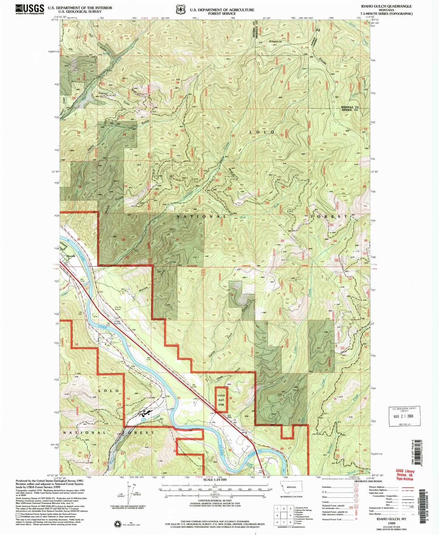
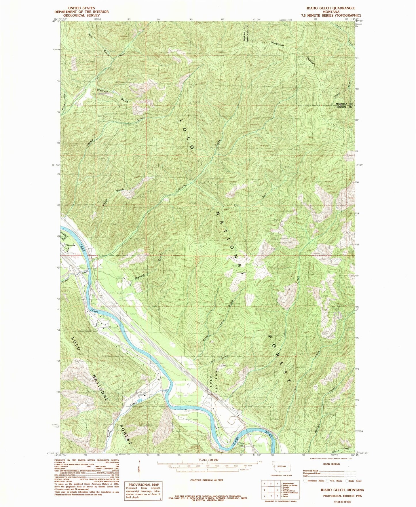
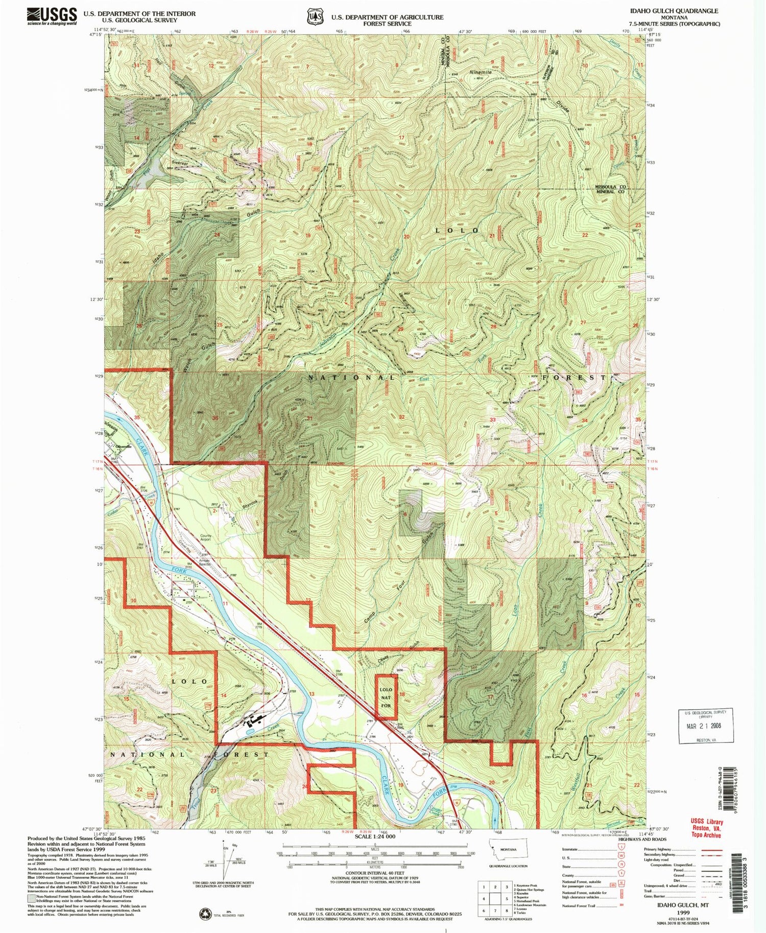
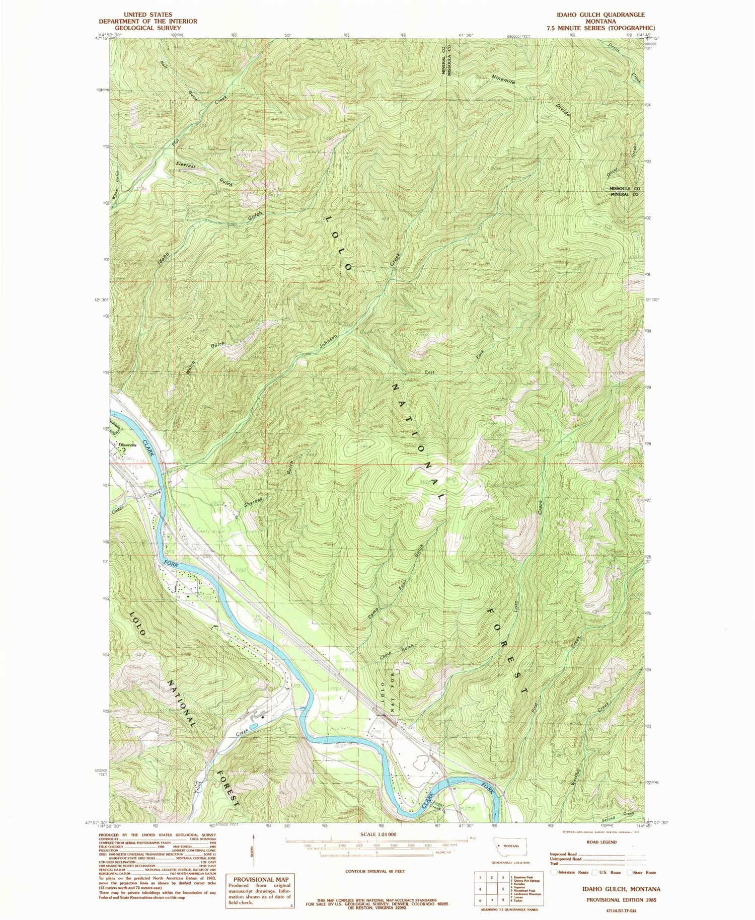
Classic USGS Idaho Gulch Montana 7.5'x7.5' Topo Map
Couldn't load pickup availability
Historical USGS topographic quad map of Idaho Gulch in the state of Montana. Map scale may vary for some years, but is generally around 1:24,000. Print size is approximately 24" x 27"
This quadrangle is in the following counties: Mineral, Missoula.
The map contains contour lines, roads, rivers, towns, and lakes. Printed on high-quality waterproof paper with UV fade-resistant inks, and shipped rolled.
Contains the following named places: Amador, Amador School, Berry Gulch, Camp Four Gulch, Cedar Creek, Cedar Creek Golf Course, Cedar Mouth, Cedars, Chute Gulch, Cougar Creek, Diamond Match Company, East Fork Berry Gulch, East Fork Johnson Creek, First Creek, Forty-Mile House, Hall Gulch, Idaho Gulch, Iron Mountain Mill Mine, Iron Mountain Mine, Johnson Creek, Lozo Creek, Lynch, Mineral County Airport, Mineral County Hospital Heliport, North Fork Second Creek Mine, Oliverville, Pardee Post Office, Riverbend, Riverbend Census Designated Place, Seventh Day Adventist Church, Shyrock Gulch, Siekrest Gulch, Trout Creek, Welch Gulch, Wood Gulch


