MyTopo
Classic USGS Idaville Indiana 7.5'x7.5' Topo Map
Couldn't load pickup availability
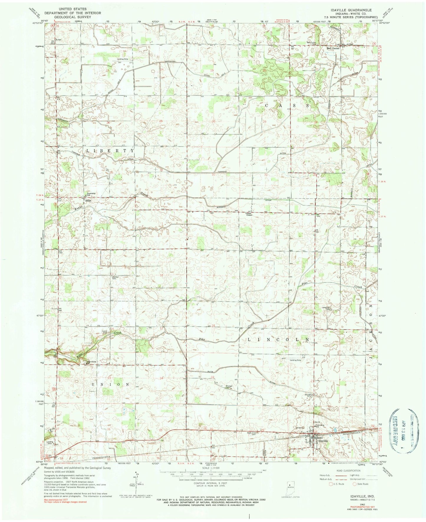
Historical USGS topographic quad map of Idaville in the state of Indiana. Map scale may vary for some years, but is generally around 1:24,000. Print size is approximately 24" x 27"
This quadrangle is in the following counties: White.
The map contains contour lines, roads, rivers, towns, and lakes. Printed on high-quality waterproof paper with UV fade-resistant inks, and shipped rolled.
Contains the following named places: Ackerman Ditch, Bell Center, Bell Center Cemetery, Burgett Ditch, Carnahan Ditch Number Two, Church Creek, Cutler Cemetery, Idaville, Idaville Cemetery, Idaville Census Designated Place, Idaville Post Office, Idaville Volunteer Fire Department, Leazenby Cemetery, Mitchell Cemetery, Pike Creek Church, Pious Chapel, Sitka, State View Cemetery, Suits Ditch, Three D Hog Farm, Timmons Ditch, Township of Cass, Township of Liberty, Township of Lincoln, Warden Cemetery, ZIP Code: 47950