MyTopo
Classic USGS Ideal NE South Dakota 7.5'x7.5' Topo Map
Couldn't load pickup availability
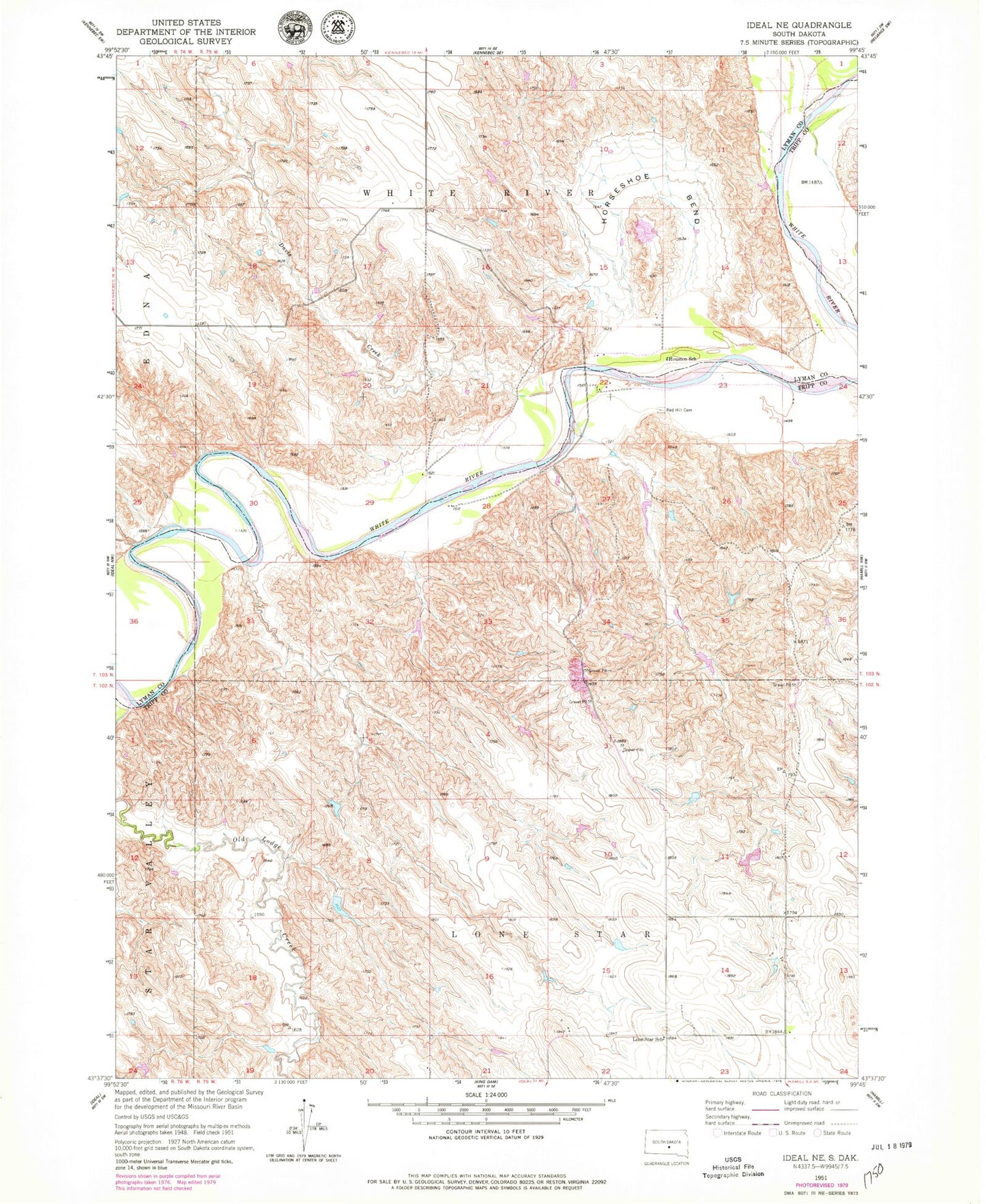
Historical USGS topographic quad map of Ideal NE in the state of South Dakota. Map scale may vary for some years, but is generally around 1:24,000. Print size is approximately 24" x 27"
This quadrangle is in the following counties: Lyman, Tripp.
The map contains contour lines, roads, rivers, towns, and lakes. Printed on high-quality waterproof paper with UV fade-resistant inks, and shipped rolled.
Contains the following named places: Davis Creek, DeJong Brothers Number 2 Dam, DeJong Brothers Number 3 Dam, DeJong Brothers Number 4 Dam, DeJong Brothers Number 5 Dam, Frantz Farms 3 Dam, Horseshoe Bend, Houston School, Jim Schuyler Number 1 Dam, Lone Star School, Red Hill Cemetery, Thunder Creek, Township of Lone Star