
MyTopo
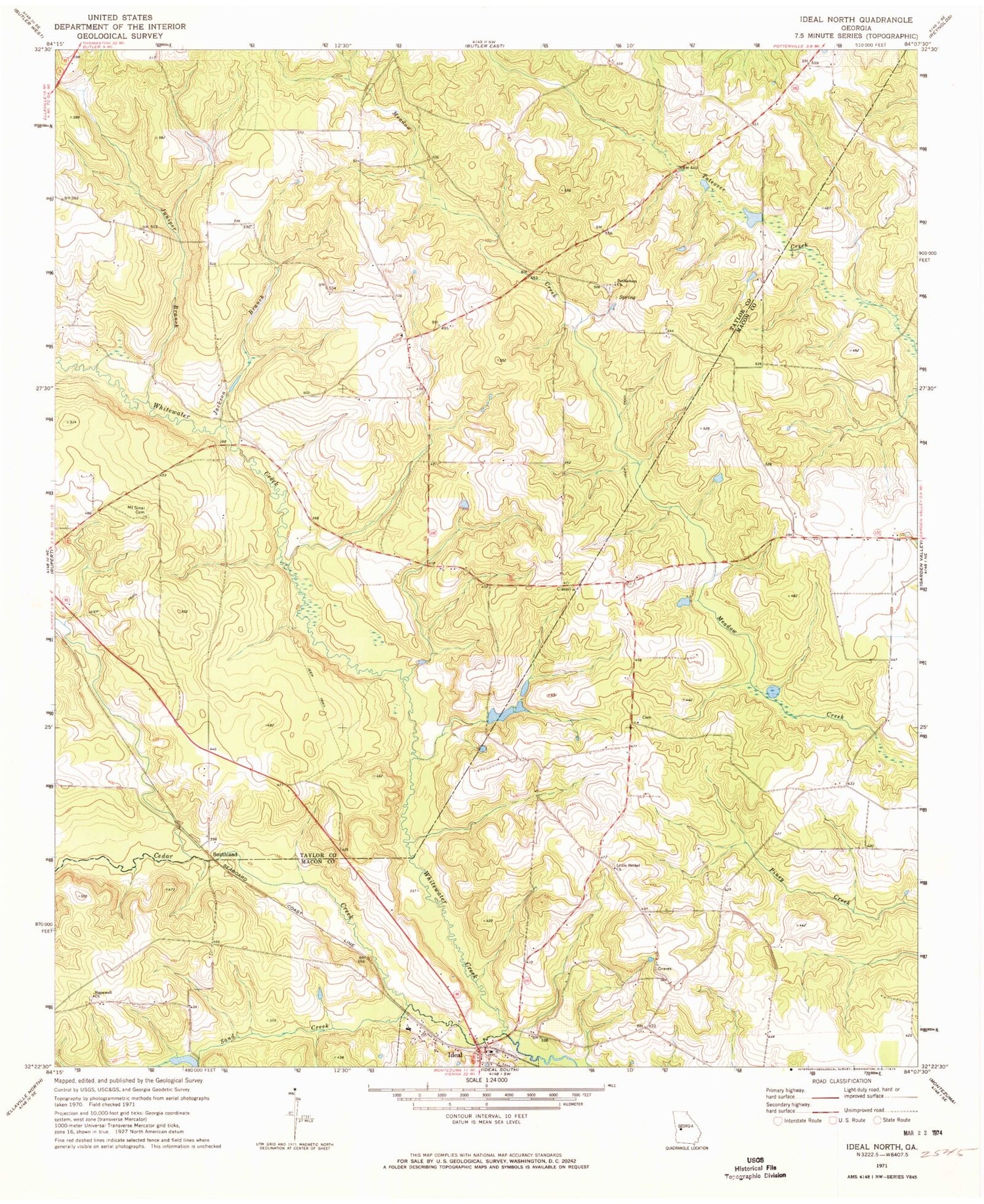
Classic USGS Ideal North Georgia 7.5'x7.5' Topo Map
Couldn't load pickup availability
Historical USGS topographic quad map of Ideal North in the state of Georgia. Map scale may vary for some years, but is generally around 1:24,000. Print size is approximately 24" x 27"
This quadrangle is in the following counties: Macon, Taylor.
The map contains contour lines, roads, rivers, towns, and lakes. Printed on high-quality waterproof paper with UV fade-resistant inks, and shipped rolled.
Contains the following named places: Bethlehem Cemetery, Bethlehem Church, Brooks Mill Pond, Brooks Mill Pond Dam, Cedar Creek, Freedom Church, Hopewell Church, Ideal City Hall, Ideal Division, Ideal Fire Department, Ideal Police Department, Ideal Post Office, Jackson Branch, Juniper Branch, Little Bethel Church, Mount Sinai Cemetery, Sand Creek, Southland


