MyTopo
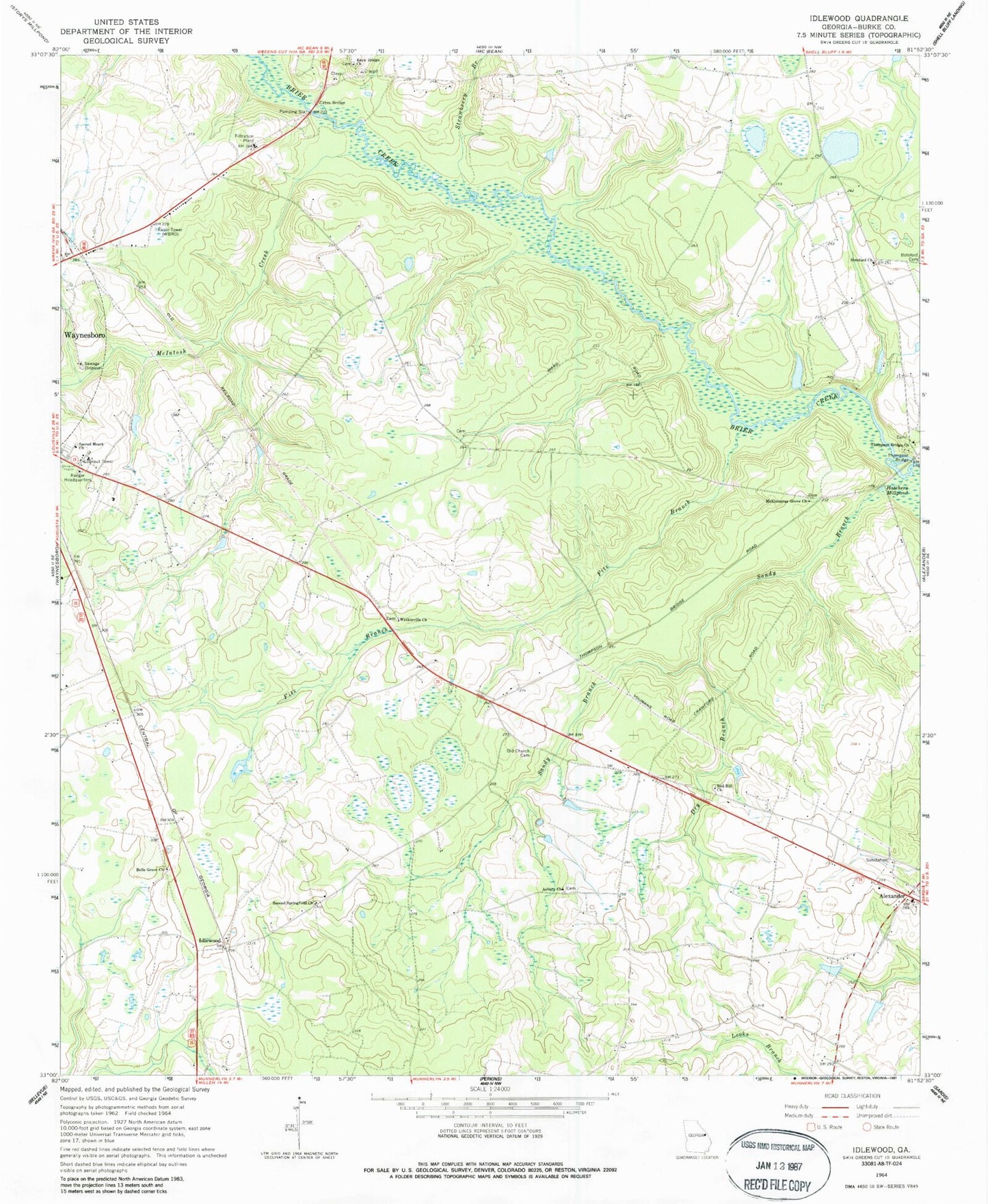
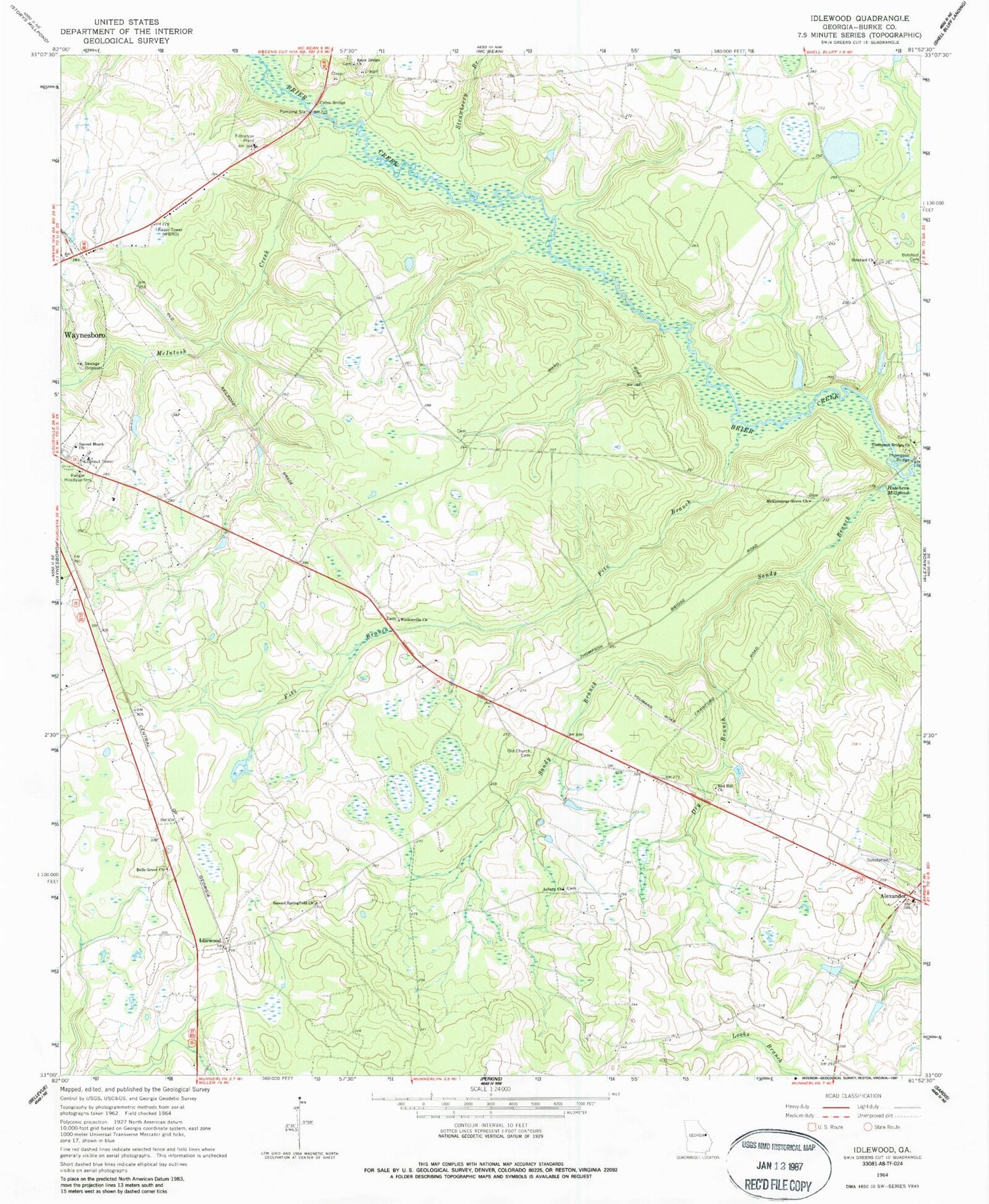
Classic USGS Idlewood Georgia 7.5'x7.5' Topo Map
Couldn't load pickup availability
Historical USGS topographic quad map of Idlewood in the state of Georgia. Map scale may vary for some years, but is generally around 1:24,000. Print size is approximately 24" x 27"
This quadrangle is in the following counties: Burke.
The map contains contour lines, roads, rivers, towns, and lakes. Printed on high-quality waterproof paper with UV fade-resistant inks, and shipped rolled.
Contains the following named places: Alexander, Asbury, Asbury Church, Bells Grove Church, Botsford Church, Bottsford School, Burke County Comprehensive High School, Burke County Emergency Management Agency Engine Company 1, Burke County Jail, Burke County Sheriff's Office, Burke Memorial Gardens, Cates Bridge, Dry Branch, Fitz Branch, Hatchers Mill, Hatchers Millpond, Holy Church of God, Idlewood, McElmurray Grove Church, McIntosh Creek, Moore Branch Church, Mount Carmel Church, Old Church, Old Church Cemetery, Pine Nursing Home, Rae Old Cowpen, Rays Bridge Church, Red Hill Church, Red Hill School, Sacred Heart Church, Saint Georges Episcopal Church, Sandy Branch, Second Springfield Church, Strawberry Branch, Thomas Station, Thompson Bridge, Thompson Bridge Church, Walter Jones Cemetery, Watkinville Church, WBRO-AM (Waynesboro), ZIP Code: 30830


