MyTopo
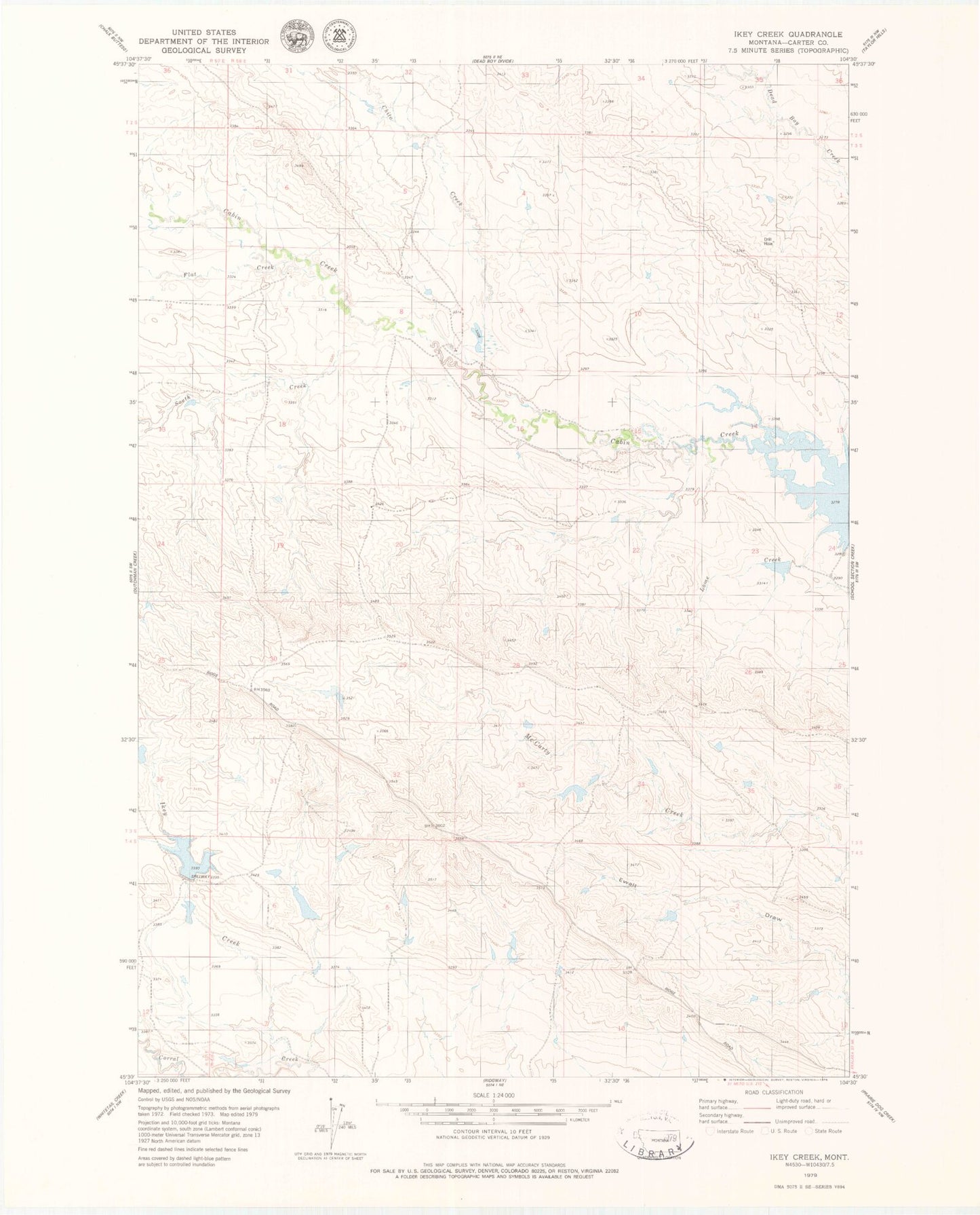
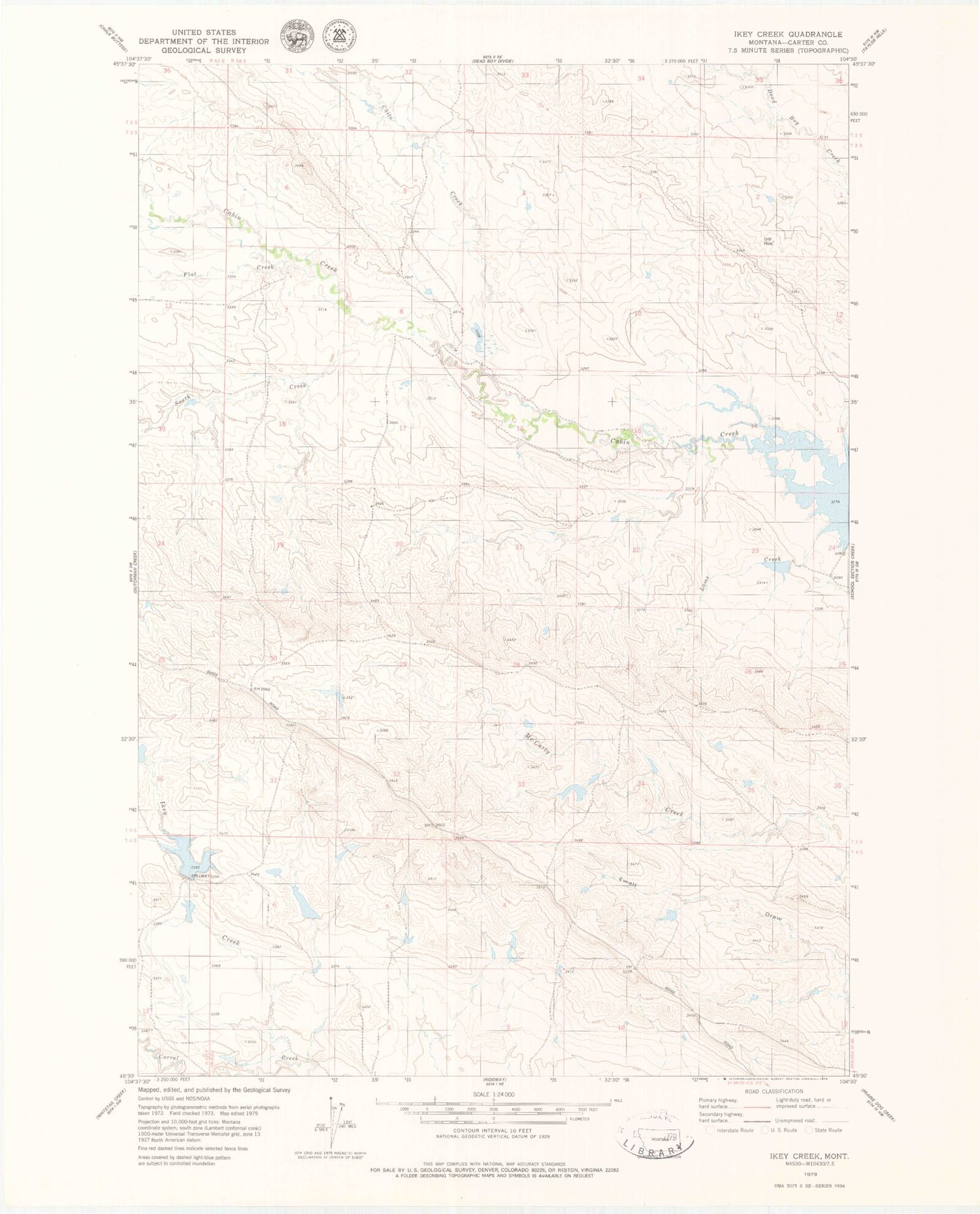
Classic USGS Ikey Creek Montana 7.5'x7.5' Topo Map
Couldn't load pickup availability
Historical USGS topographic quad map of Ikey Creek in the state of Montana. Map scale may vary for some years, but is generally around 1:24,000. Print size is approximately 24" x 27"
This quadrangle is in the following counties: Carter.
The map contains contour lines, roads, rivers, towns, and lakes. Printed on high-quality waterproof paper with UV fade-resistant inks, and shipped rolled.
Contains the following named places: 03N58E05AAA_01 Well, 03N58E07DAA_01 Well, 03N58E31CDD_01 Spring, 03S58E02DC__01 Well, Carter County, Chito Creek, Ding Dong Dam, Elgin Cemetery, Flat Creek, Ikey Creek, Johnston and Son Ranch Number 4 Dam, Lome Creek, Major Number 1 Dam, One D-4 Ranch Dam, Penny Dam, South Creek, Tauck Number 3 Dam