MyTopo
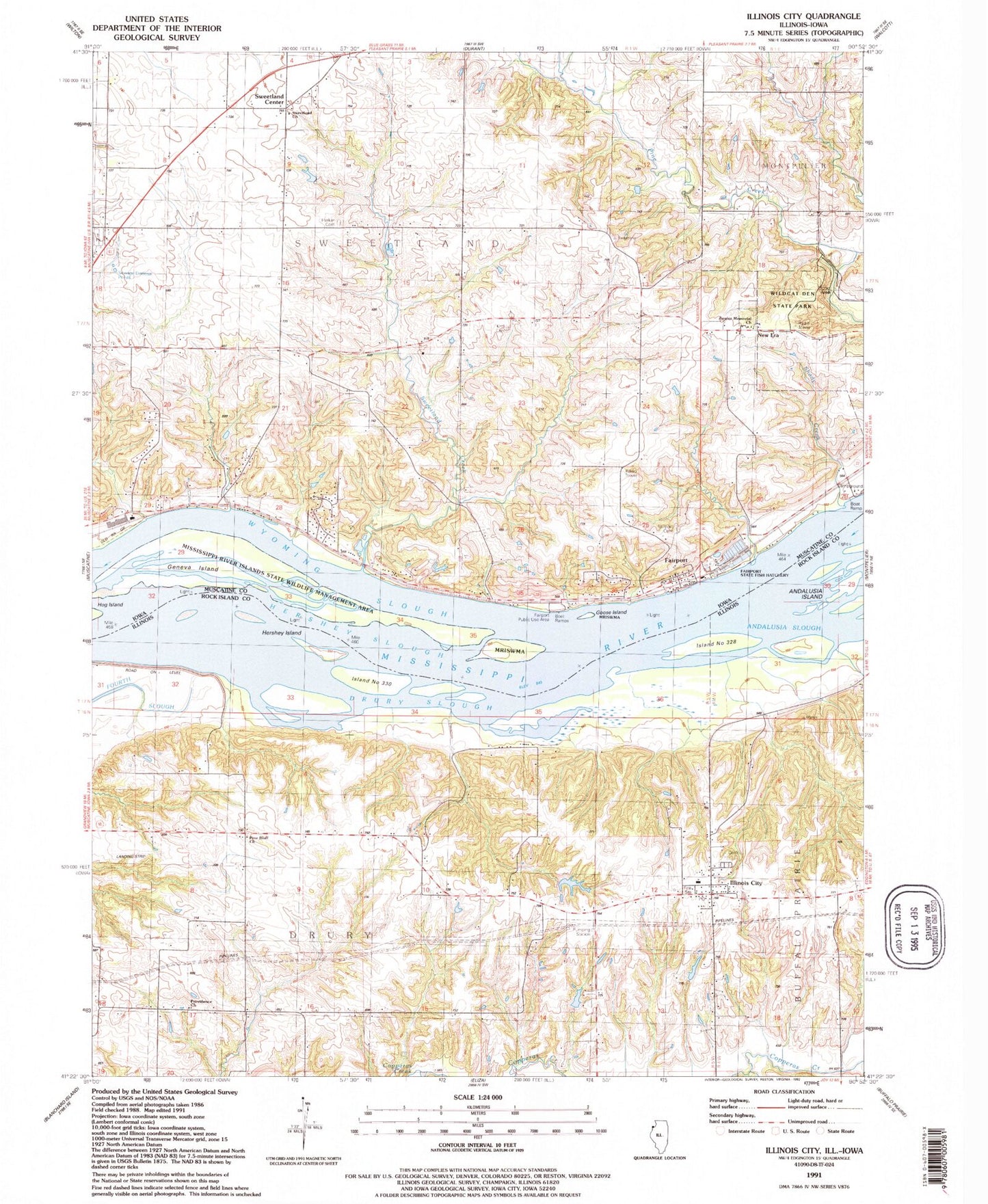
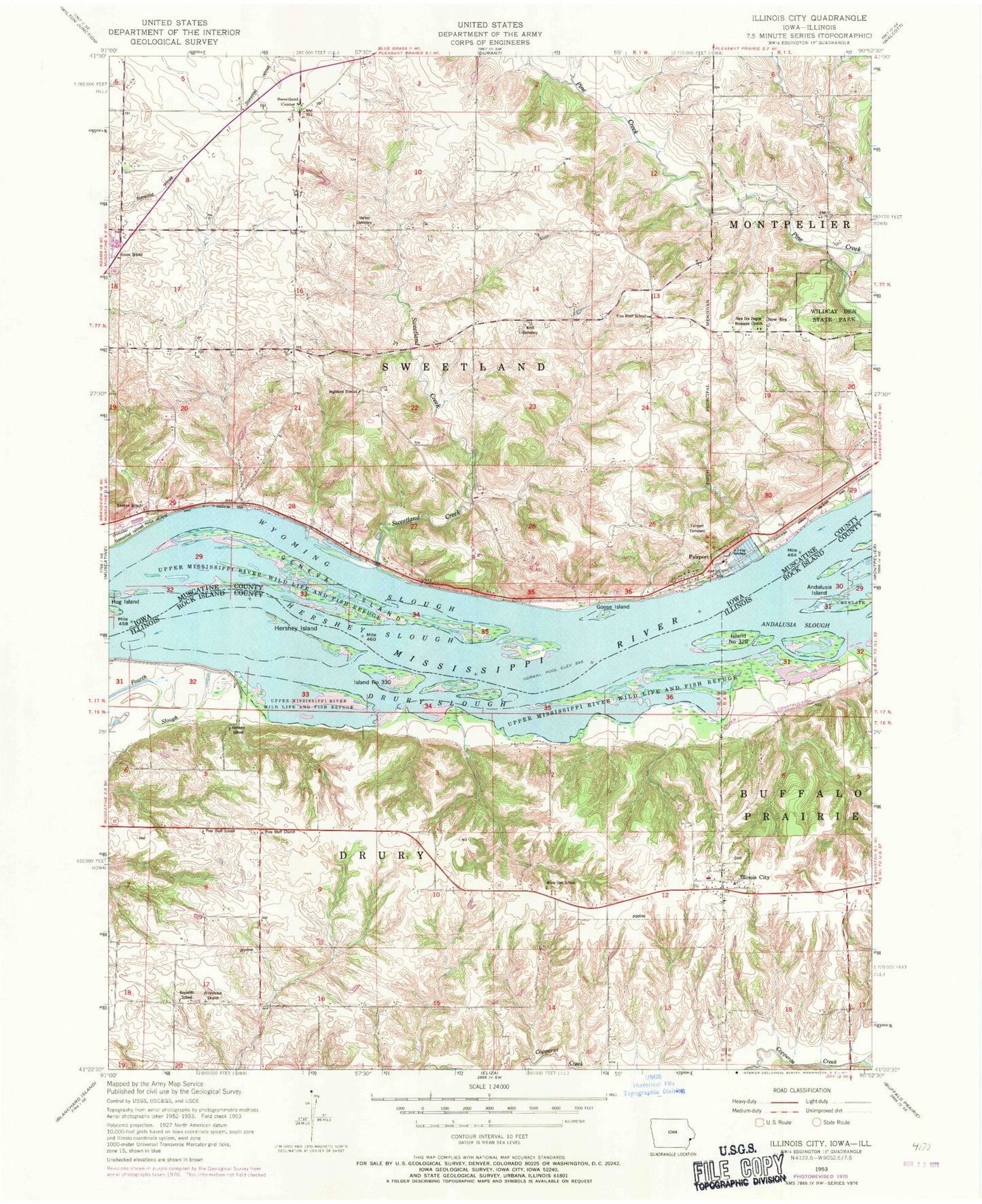
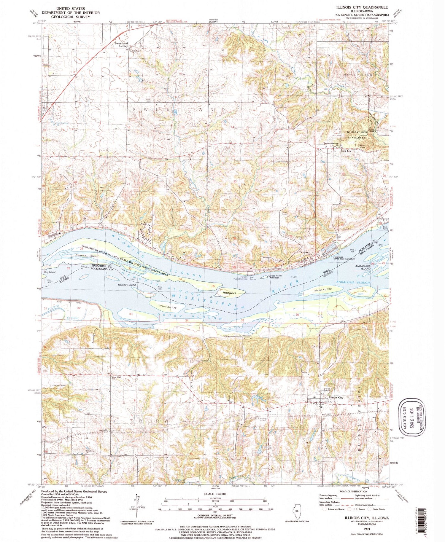
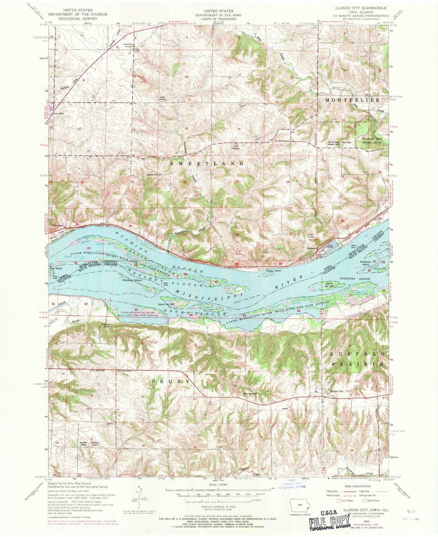
Classic USGS Illinois City Illinois 7.5'x7.5' Topo Map
Couldn't load pickup availability
Historical USGS topographic quad map of Illinois City in the states of Illinois, Iowa. Typical map scale is 1:24,000, but may vary for certain years, if available. Print size: 24" x 27"
This quadrangle is in the following counties: Muscatine, Rock Island.
The map contains contour lines, roads, rivers, towns, and lakes. Printed on high-quality waterproof paper with UV fade-resistant inks, and shipped rolled.
Contains the following named places: Andalusia Slough, Drury Slough, Hershey Island, Illinois City, Jimtown School (historical), Pine Bluff Church, Pine Bluff School (historical), Providence Church, Reynolds School (historical), White Oak School (historical), Island Number 328, Island Number 330, Thudwhomp Airport (historical), Township of Drury, Donnelly Pond Dam, Donnelly Pond, McLaughlin Pond Dam, McLaughlin Pond, Illinois City Cemetery, Illinois City Elementary School, Illinois City United Methodist Church, Illinois City Fire Department, Martin Island, Scisco Chute, Dead Slough, Illinois City Post Office, Illinois City Census Designated Place, Fairport, Fairport Cemetery, Geneva Island, Geneva School, Goose Island, Harker Cemetery, Hershey Slough, Highland School, Krell Cemetery, New Era Ziegler Memorial Church, Pine Bluff School, Sweetland Creek, Union School, Wildcat Den State Park, Wyoming Slough, New Era, Sweetland Center, Sweetland Centre Post Office (historical), Township of Sweetland, Geneva Post Office (historical), Sweetland (historical), Sweetland Post Office (historical), Fairport Post Office (historical), Fairport, Sweetland United Methodist Church, Ziegler Memorial Lutheran Church, Fairport Recreation Area, Fairport State Fish Hatchery, Hershey Chute Post Light, Fairport Census Designated Place


