MyTopo
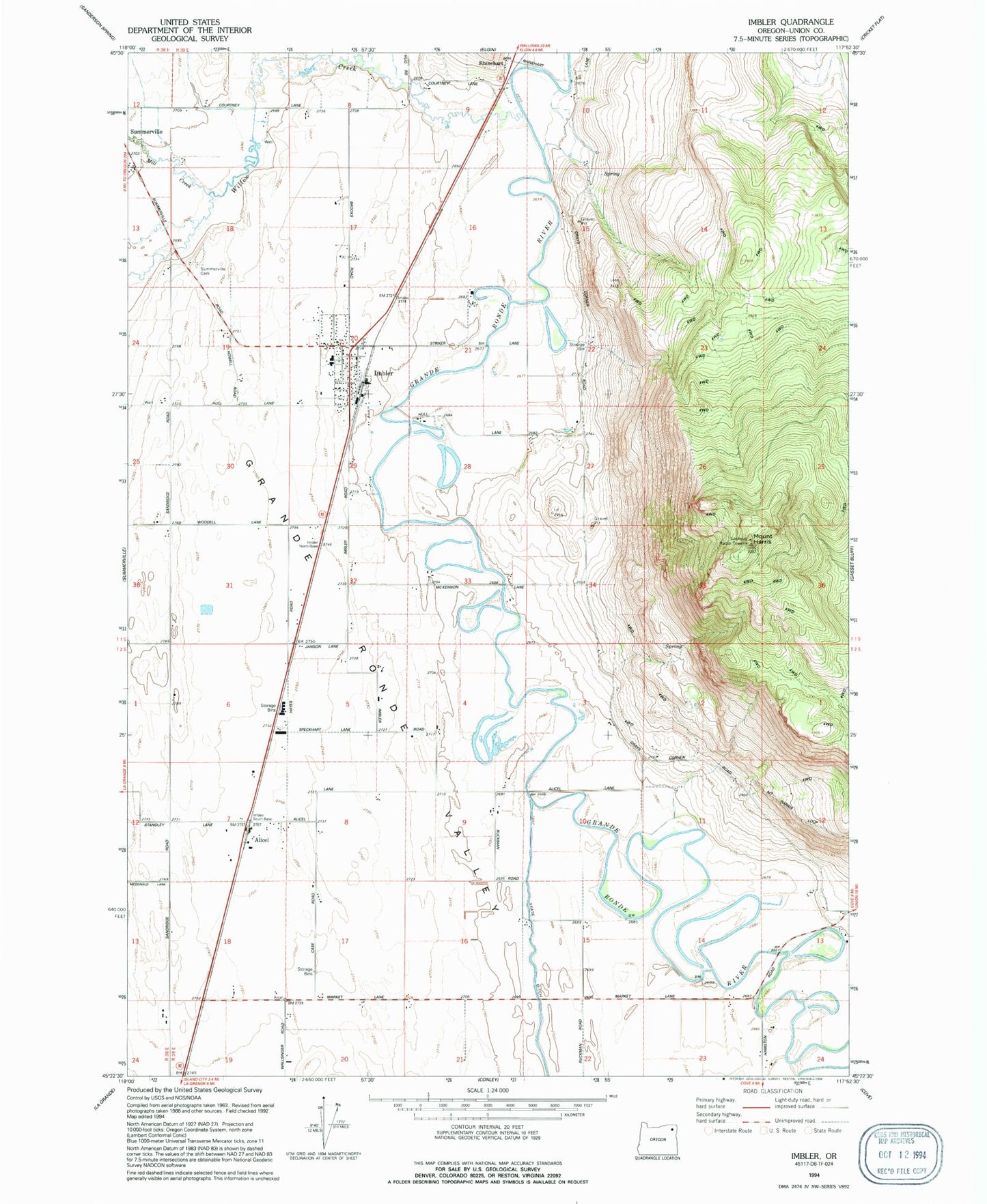
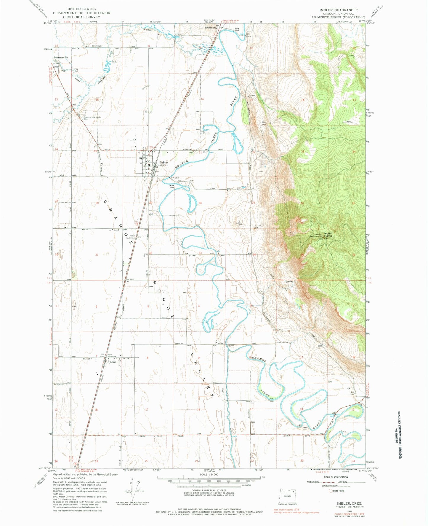
Classic USGS Imbler Oregon 7.5'x7.5' Topo Map
Couldn't load pickup availability
Historical USGS topographic quad map of Imbler in the state of Oregon. Map scale may vary for some years, but is generally around 1:24,000. Print size is approximately 24" x 27"
This quadrangle is in the following counties: Union.
The map contains contour lines, roads, rivers, towns, and lakes. Printed on high-quality waterproof paper with UV fade-resistant inks, and shipped rolled.
Contains the following named places: Alicel, Alicel Post Office, Arnoldus Loop Reservoir, Bill Howell Reservoir, City of Imbler, Fleet Dam Number Two, Fleet Reservoir Number Two, Fleets Loop Reservoir, Grays Slough Dam, Grays Slough Reservoir, Imbler, Imbler City Hall, Imbler Elementary School, Imbler High School, Imbler Post Office, Imbler Rural Fire Protection District Headquarters, Larch Post Office, Mill Creek, Mount Harris, Mount Harris Lookout Tower, Rhinehart, Ruckman Dam, Ruckman Reservoir, Sand Ridge Post Office, Shaw Creek, Slater Post Office, Summerville - Imbler Cemetery, Toma, Willow Creek, ZIP Code: 97841