MyTopo
Classic USGS Imlay Nevada 7.5'x7.5' Topo Map
Couldn't load pickup availability
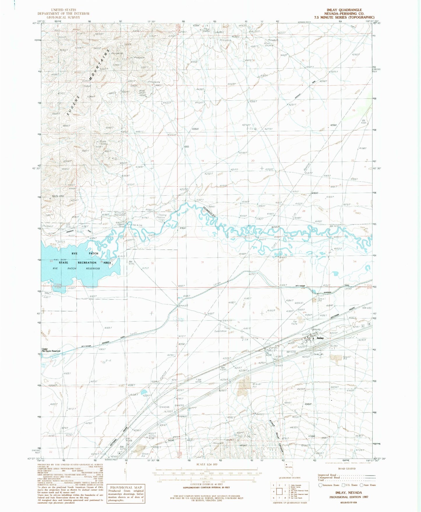
Historical USGS topographic quad map of Imlay in the state of Nevada. Map scale may vary for some years, but is generally around 1:24,000. Print size is approximately 24" x 27"
This quadrangle is in the following counties: Pershing.
The map contains contour lines, roads, rivers, towns, and lakes. Printed on high-quality waterproof paper with UV fade-resistant inks, and shipped rolled.
Contains the following named places: Barbee Mining District, C and M Ranch, Callahan Bridge, Flying M Ranch, Imlay, Imlay Census Designated Place, Imlay Elementary School, Imlay Post Office, Imlay Volunteer Fire Department, Lander City, Lander Creek, Pitt-Taylor Diversion Canal, Prince Royal Canyon, Saint Marys, Temple Group Mines, Thackers Ranch