MyTopo
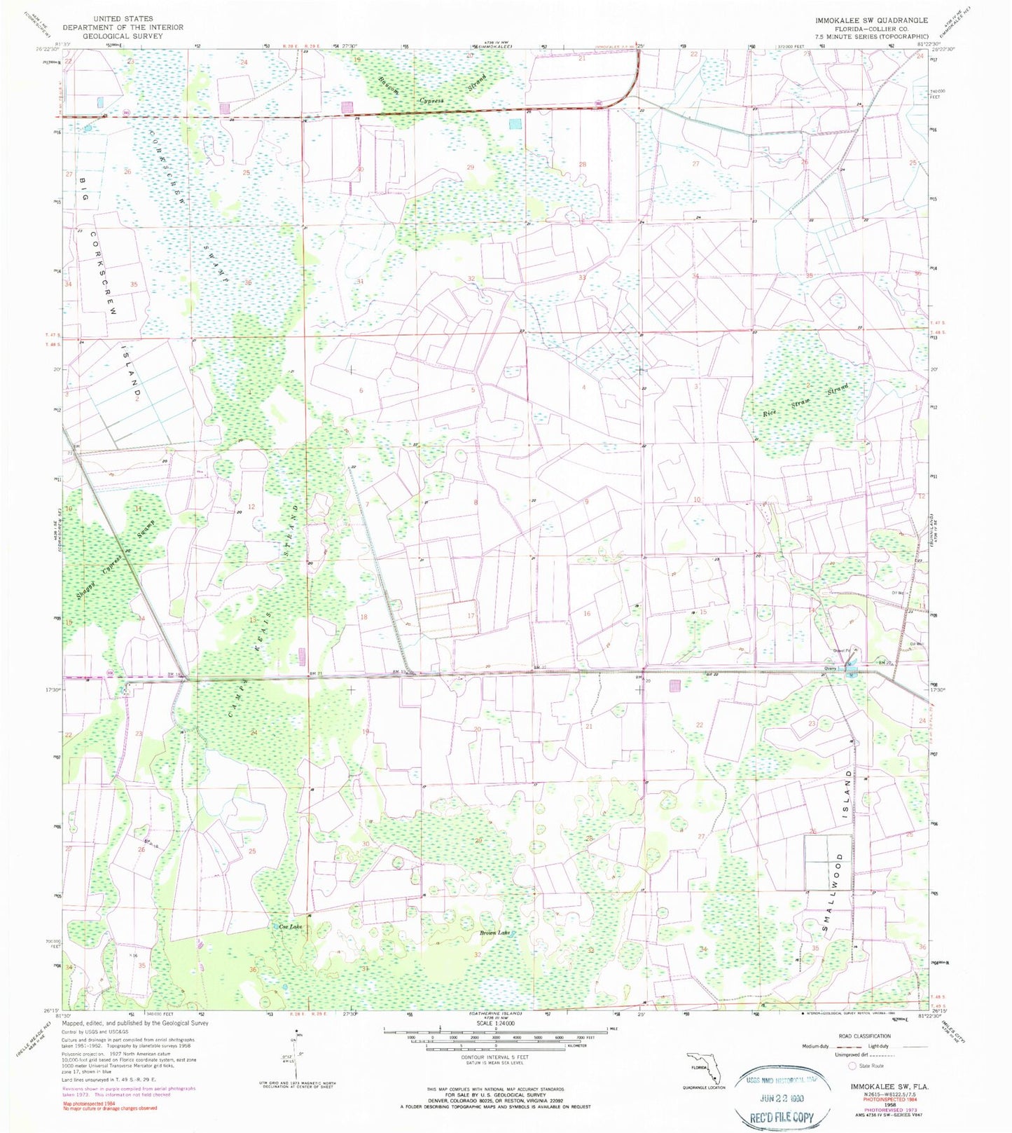
Classic USGS Immokalee SW Florida 7.5'x7.5' Topo Map
Couldn't load pickup availability
Historical USGS topographic quad map of Immokalee SW in the state of Florida. Map scale may vary for some years, but is generally around 1:24,000. Print size is approximately 24" x 27"
This quadrangle is in the following counties: Collier.
The map contains contour lines, roads, rivers, towns, and lakes. Printed on high-quality waterproof paper with UV fade-resistant inks, and shipped rolled.
Contains the following named places: Ave Maria, Ave Maria Census Designated Place, Ave Maria Oratory, Ave Maria University, Ave Maria University Library, Ave Maria University Student Center, Baucom Cypress Strand, Brown Lake, Camp Keais Strand, Cox Lake, Immokalee Fire Control District Station 32, North Sports Park, Rice Straw Strand, Shaggy Cypress Swamp, Smallwood Island, South Sports Park