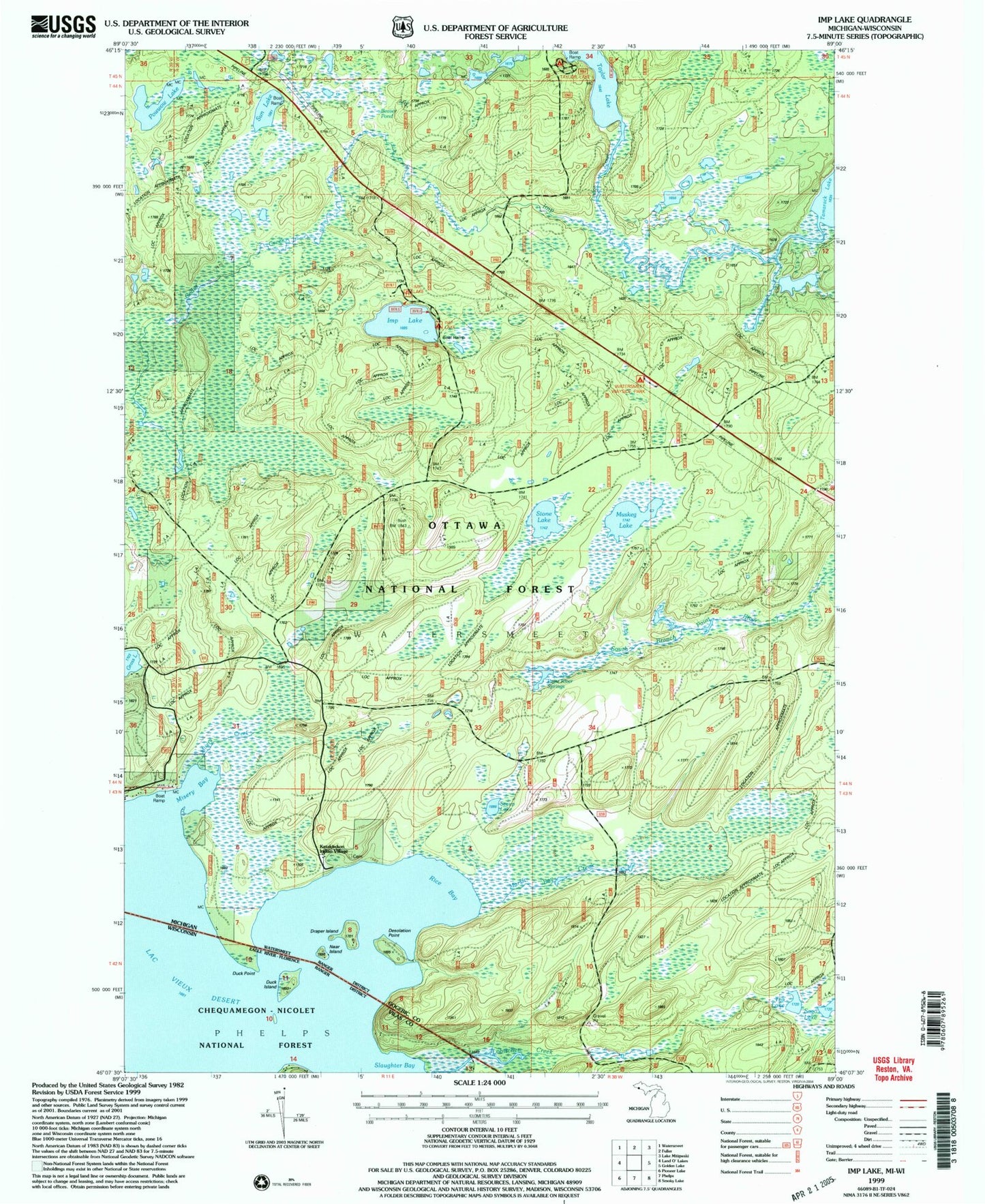
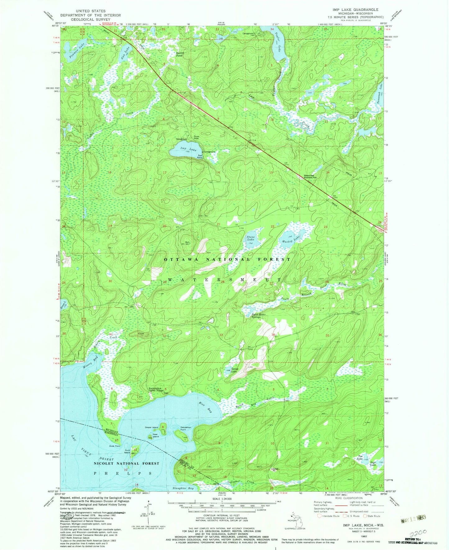
MyTopo
Classic USGS Imp Lake Michigan 7.5'x7.5' Topo Map
Couldn't load pickup availability
Historical USGS topographic quad map of Imp Lake in the states of Michigan, Wisconsin. Map scale may vary for some years, but is generally around 1:24,000. Print size is approximately 24" x 27"
This quadrangle is in the following counties: Gogebic, Vilas.
The map contains contour lines, roads, rivers, towns, and lakes. Printed on high-quality waterproof paper with UV fade-resistant inks, and shipped rolled.
Contains the following named places: Beaver Pond, Cedar Creek, Desolation Point, Draper Island, Duck Island, Duck Point, Imp Creek, Imp Lake, Imp Lake Lookout Tower, Imp Lake Recreation Site, Indian Village, Katakikon Indian Village Cemetery, Katakitckon Indian Village, Lac Vieux Desert, Lac Vieux Desert 21, Marsh Bay Creek, Misery Bay, Misery Creek, Muskeg Lake, Near Island, Paint River Springs, Powwow Lake, Rice Bay, Sago Lake, Scaup Lake, Slaughter Bay, Stone Lake, Sun Lake, Taylor Creek, Taylor Lake, Taylor Lake Recreation Site, Tea Lake, Watersmeet Roadside Park