MyTopo
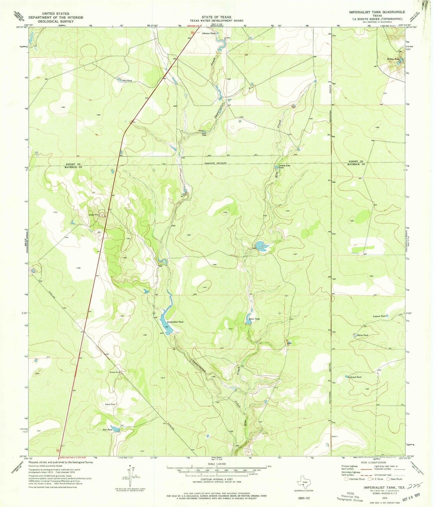
Classic USGS Imperialist Tank Texas 7.5'x7.5' Topo Map
Couldn't load pickup availability
Historical USGS topographic quad map of Imperialist Tank in the state of Texas. Map scale may vary for some years, but is generally around 1:24,000. Print size is approximately 24" x 27"
This quadrangle is in the following counties: Kinney, Maverick.
The map contains contour lines, roads, rivers, towns, and lakes. Printed on high-quality waterproof paper with UV fade-resistant inks, and shipped rolled.
Contains the following named places: Burr Estate Lake Number 1, Burr Estate Lake Number 1 Dam, County Line Tank, Flat Tank, Imperialist Creek, Imperialist Tank, Johnson Tank, Laguna Tank, Laughlin Air Force Base Auxiliary Number 1, New Tank, Railroad Tank, Smyth Lake Number 1, Smyth Lake Number 1 Dam, Smyth Lake Number 2, Smyth Lake Number 2 Dam, White Tank, Willow Tank, Xmas Tank