MyTopo
Classic USGS Inarajan Guam 7.5'x7.5' Topo Map
Couldn't load pickup availability
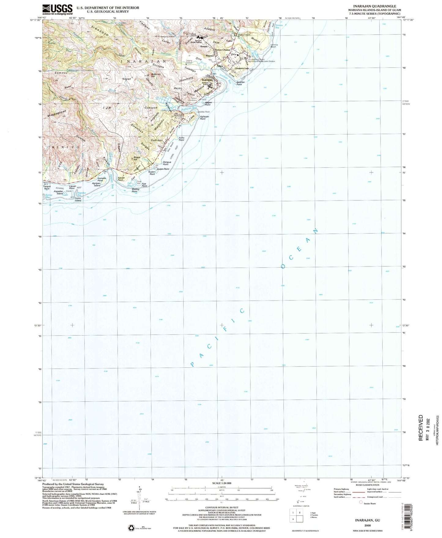
Historical USGS topographic quad map of Inarajan in the state of Guam. Map scale may vary for some years, but is generally around 1:24,000. Print size is approximately 24" x 27"
This quadrangle is in the following counties: Guam.
The map contains contour lines, roads, rivers, towns, and lakes. Printed on high-quality waterproof paper with UV fade-resistant inks, and shipped rolled.
Contains the following named places: Acho, Acho Point, Adaique, Adaumang, Aftano, Aga, Aga Bay, Aga Point, Agfayan, Agfayan Bay, Agfayan Point, Agfayan River, Agrigan Island, Ajayan, Ajayan Bay, Ajayan Point, Ajayan River, Asafan, Asagas, Asdonao Hill, Asfaja, Asgadao, Asgadao Bay, Asgadao Creek, Asgadao Island, Asgon Point, Aslinget, Aslinget River, Asmaile, Asmaile Point, Aspupong, Asquede, Atao, Atao Beach, Atot, Beyoc, Boaga Hill, Chagamin Lago, Dante River, Dongua, Dongua Point, Faja, Fensol River, Fintasa River, Fofos Island, Gagas, Geugao, Guae, Guaifan, Guaifan Point, Guasaon, Guatata, Guenyon, Gugagon, Guijen Point, Guijen Rock, Gumoje, Ija, Inarajan, Inarajan Bay, Inarajan Census Designated Place, Inarajan Falls, Inarajan Middle School, Inarajan Public Health Center, Inarajan River, Lada, Laolao, Laolao River, Lasodiac Rock, Liguan Point, Liyog, Liyog River, Machecho, Magpogugae, Malilog Point, Matague, Matoloji Pumping Station, Mayaya, Mulona, Nagan, Namo, Nelansa River, Nomna, Nomna Bay, Ono, Pasamano River, Pauliluc Bay, Pauliluc River, Peca, Perez Beach, Saint Joseph Church, Salaglula, Salailago, Salugula Pool, Sese, Sinagoso, Sinenjaya, Socogna, Somnac, Tinago River, Tipoco, Tipoco Catholic Cemetery, Tongan, Tongan Creek, Topony River, Tumon Chama, Ulomnia Beach, Umafit, University of Guam Agricultural Experiment Station, Yabai, Yledigao, Yledigao River, ZIP Code: 96916


