MyTopo
Classic USGS Independence Spring Texas 7.5'x7.5' Topo Map
Regular price
$16.95
Regular price
Sale price
$16.95
Unit price
per
Couldn't load pickup availability
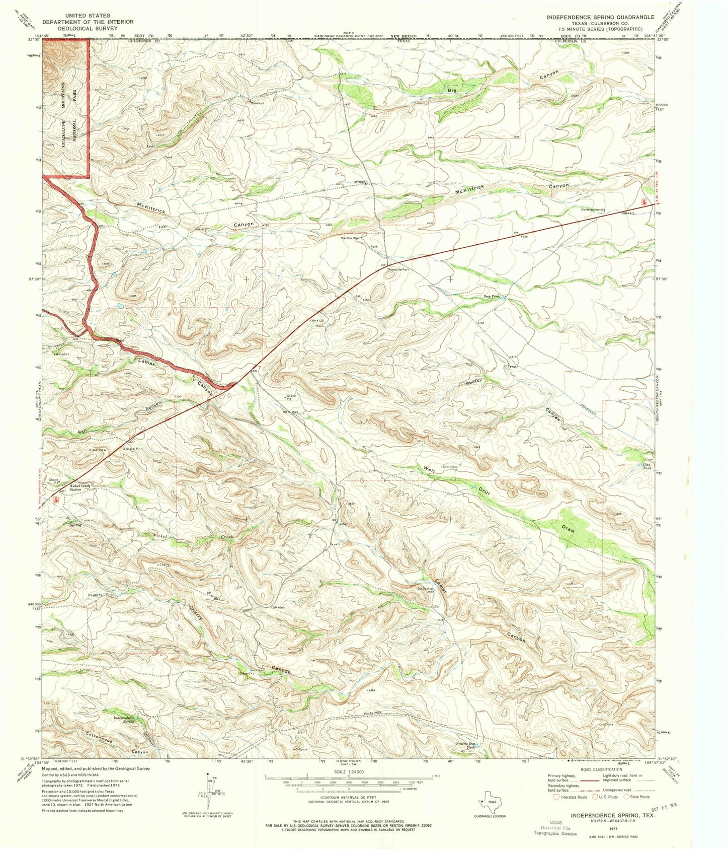
Historical USGS topographic quad map of Independence Spring in the state of Texas. Map scale may vary for some years, but is generally around 1:24,000. Print size is approximately 24" x 27"
This quadrangle is in the following counties: Culberson.
The map contains contour lines, roads, rivers, towns, and lakes. Printed on high-quality waterproof paper with UV fade-resistant inks, and shipped rolled.
Contains the following named places: Bell Canyon, Cherry Canyon, Clay Tank, D Ranch, Independence Spring, Mailbox Well, Nickel Creek, Nickel Creek Station, North Windmill, Permian Reef Trail, Prairie Dog Tank, Seep Tank, Six Section Well