MyTopo
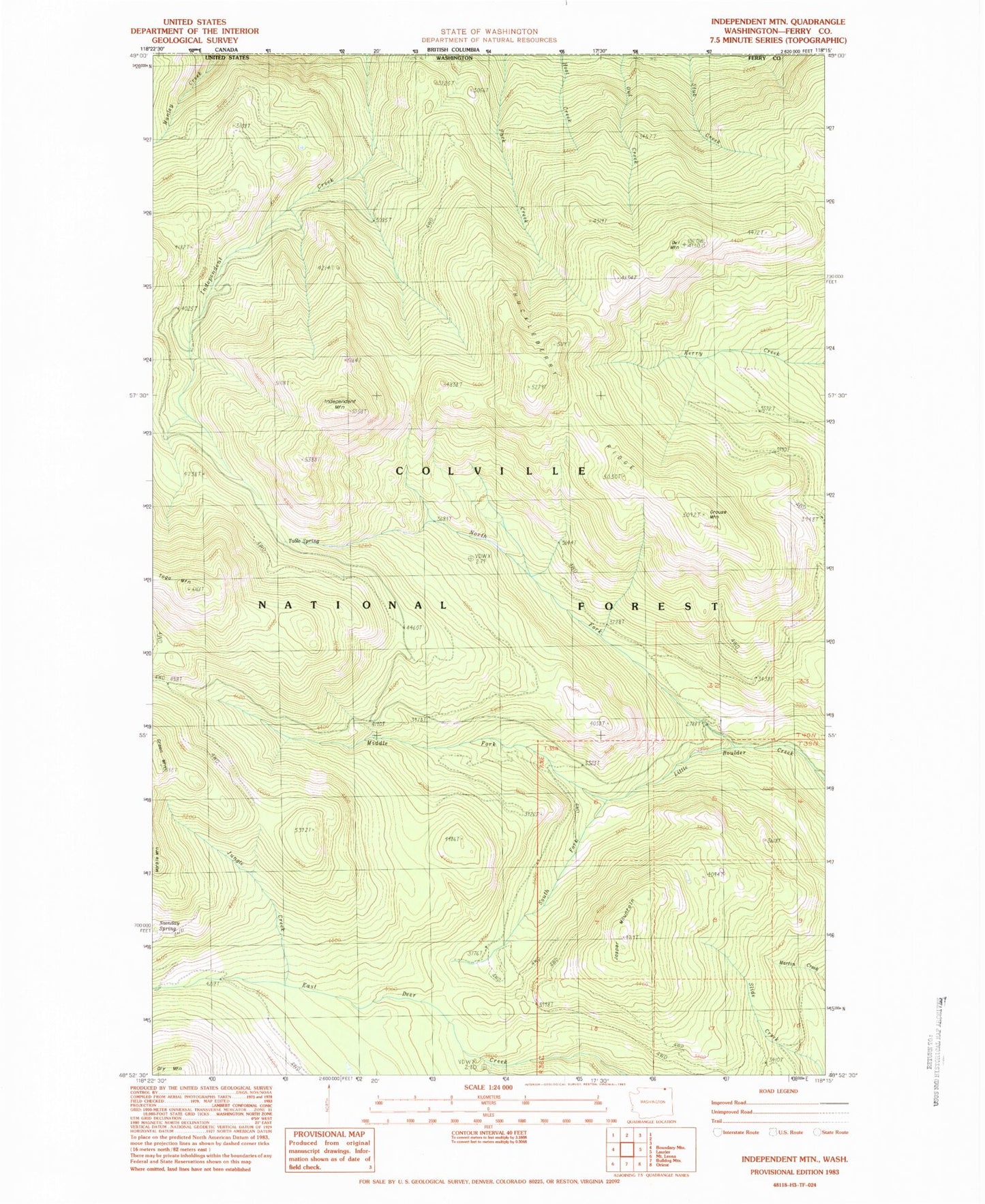
Classic USGS Independent Mountain Washington 7.5'x7.5' Topo Map
Couldn't load pickup availability
Historical USGS topographic quad map of Independent Mountain in the state of Washington. Map scale may vary for some years, but is generally around 1:24,000. Print size is approximately 24" x 27"
This quadrangle is in the following counties: Ferry.
The map contains contour lines, roads, rivers, towns, and lakes. Printed on high-quality waterproof paper with UV fade-resistant inks, and shipped rolled.
Contains the following named places: Green Mountain, Grouse Mountain, Huckleberry Ridge, Independent Mountain, Jasper Mountain, Jungle Creek, Manley Creek, Middle Fork Little Boulder Creek, North Fork Little Boulder Creek, Onion Creek, Owl Mountain, South Fork Little Boulder Creek, Table Spring, Togo Mountain, ZIP Code: 99146