MyTopo
Classic USGS Indian Bay SE Arkansas 7.5'x7.5' Topo Map
Couldn't load pickup availability
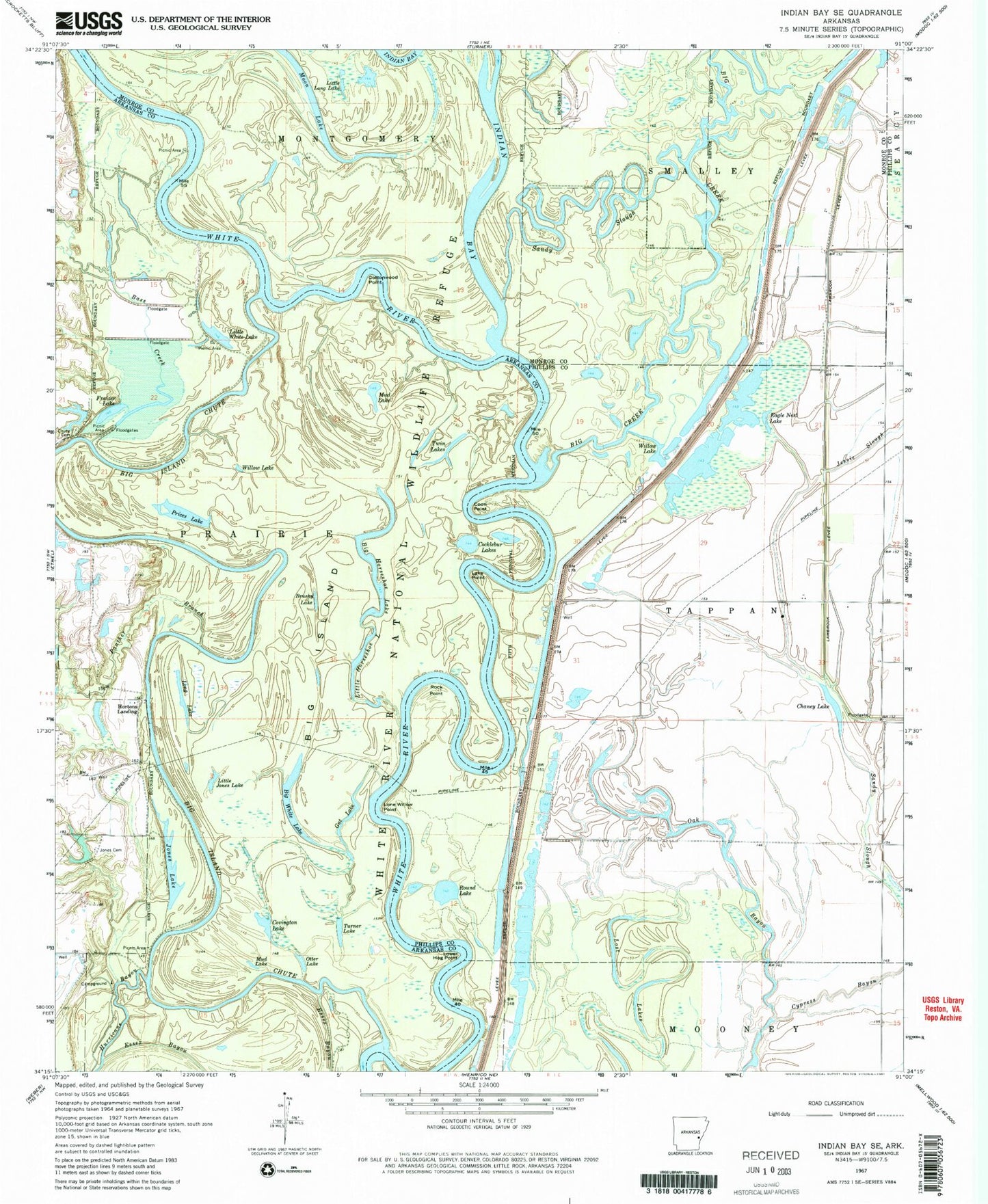
Historical USGS topographic quad map of Indian Bay SE in the state of Arkansas. Map scale may vary for some years, but is generally around 1:24,000. Print size is approximately 24" x 27"
This quadrangle is in the following counties: Arkansas, Monroe, Phillips.
The map contains contour lines, roads, rivers, towns, and lakes. Printed on high-quality waterproof paper with UV fade-resistant inks, and shipped rolled.
Contains the following named places: Bass Creek, Big Creek, Big Horseshoe Lake, Big Island, Big Island Chute, Big White Lake, Brushy Lake, Chaney Lake, Chute Cemetery, Cocklebur Lakes, Coon Point, Cottonwood Point, Covington Lake, Cowpens, Eagle Nest Lake, Frazier Lake, Gut Lake, Horton Lake, Horton Lake Dam, Hortons Landing, Hughes Bend, Hurricane Bayou, Indian Bay, Jessie Slough, Jones Cemetery, Jones Lake, Jones Lake Dam, Lake Point, Lambrook Levee, Little Horseshoe Lake, Little Jones Lake, Little Long Lake, Little White Lake, Lone Willow Point, Long Lake, Lost Lakes, Lower Hog Point, Moon Lake, Mud Lake, Oak Bayou, Otter Lake, Panther Branch, Pike Pond, Pike Pond Dam, Prairie Cypress Creek, Prices Lake, Raft Bend, Rock Point, Round Lake, Sandy Slough, Turner Lake, Twin Lakes, Waters Bayou, Willow Lake, ZIP Code: 72353


