MyTopo
Classic USGS Indian Bluff New Mexico 7.5'x7.5' Topo Map
Regular price
$16.95
Regular price
Sale price
$16.95
Unit price
per
Couldn't load pickup availability
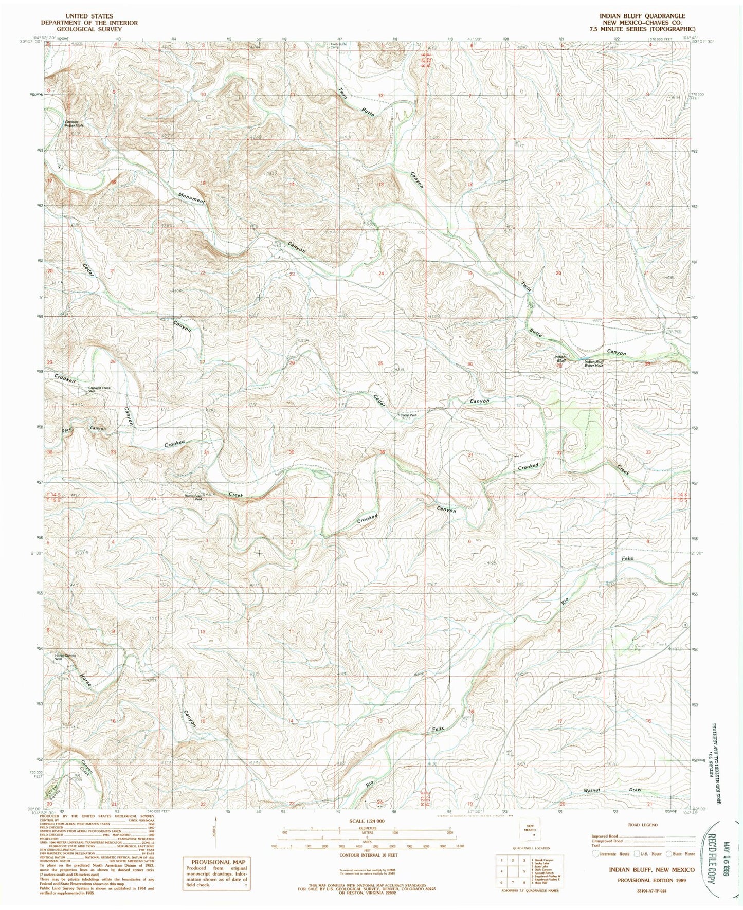
Historical USGS topographic quad map of Indian Bluff in the state of New Mexico. Map scale may vary for some years, but is generally around 1:24,000. Print size is approximately 24" x 27"
This quadrangle is in the following counties: Chaves.
The map contains contour lines, roads, rivers, towns, and lakes. Printed on high-quality waterproof paper with UV fade-resistant inks, and shipped rolled.
Contains the following named places: 10476 Water Well, Cedar Canyon, Cedar Well, Crooked Creek Well, Dark Canyon, Gressett Water Hole, Horse Canyon, Horse Canyon Well, Indian Bluff, Indian Bluff Water Hole, McGee Ranch, Monument Canyon, Rattlesnake Well, Twin Butte Camp, Waller Ranch