MyTopo
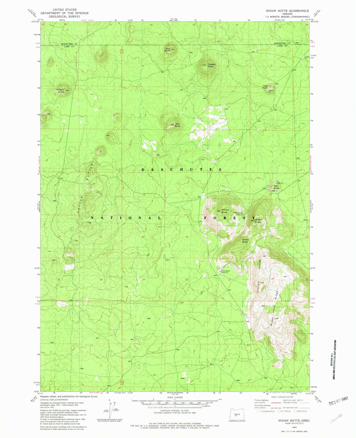
Classic USGS Indian Butte Oregon 7.5'x7.5' Topo Map
Regular price
$16.95
Regular price
Sale price
$16.95
Unit price
per
Couldn't load pickup availability
Historical USGS topographic quad map of Indian Butte in the state of Oregon. Map scale may vary for some years, but is generally around 1:24,000. Print size is approximately 24" x 27"
This quadrangle is in the following counties: Deschutes, Lake.
The map contains contour lines, roads, rivers, towns, and lakes. Printed on high-quality waterproof paper with UV fade-resistant inks, and shipped rolled.
Contains the following named places: Amota Butte, Crater Buttes, Dogleg Butte, Hokisam Cones, Indian Butte, Jack Butte, Ooskan Butte, Red Butte, Rim Butte, Sugar Pine Ridge, Tom Butte, Triangle Buttes, Willow Butte, Youtlkut Butte