MyTopo
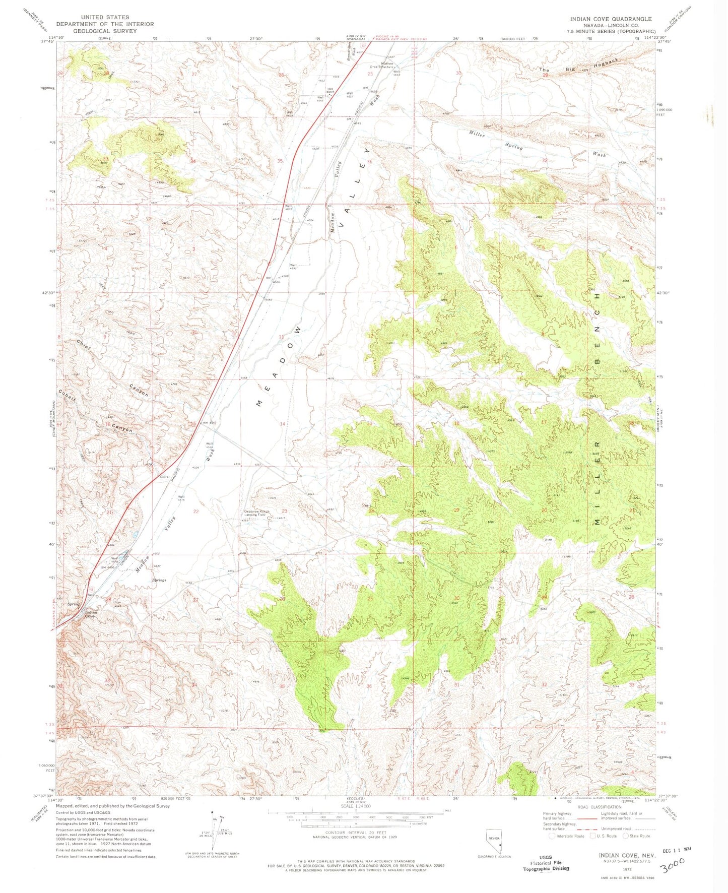
Classic USGS Indian Cove Nevada 7.5'x7.5' Topo Map
Couldn't load pickup availability
Historical USGS topographic quad map of Indian Cove in the state of Nevada. Map scale may vary for some years, but is generally around 1:24,000. Print size is approximately 24" x 27"
This quadrangle is in the following counties: Lincoln.
The map contains contour lines, roads, rivers, towns, and lakes. Printed on high-quality waterproof paper with UV fade-resistant inks, and shipped rolled.
Contains the following named places: Archie Yoacham Ranch, Beaverdam Census Designated Place, Bennett Springs Census Designated Place, Bennett Springs Wash, CAA Building, Chief Canyon, City of Caliente, Cobalt Canyon, Indian Cove, Mathew Drop Structure, Mathews Ranch, Meadow Valley, Miller Bench, Miller Spring Wash, One Thousand One Ranch, Oxborrow Ranch Landing Field, Peck, Yoacham, Yoacham Post Office