
MyTopo
Classic USGS Indian Creek Montana 7.5'x7.5' Topo Map
Regular price
$16.95
Regular price
Sale price
$16.95
Unit price
per
Couldn't load pickup availability
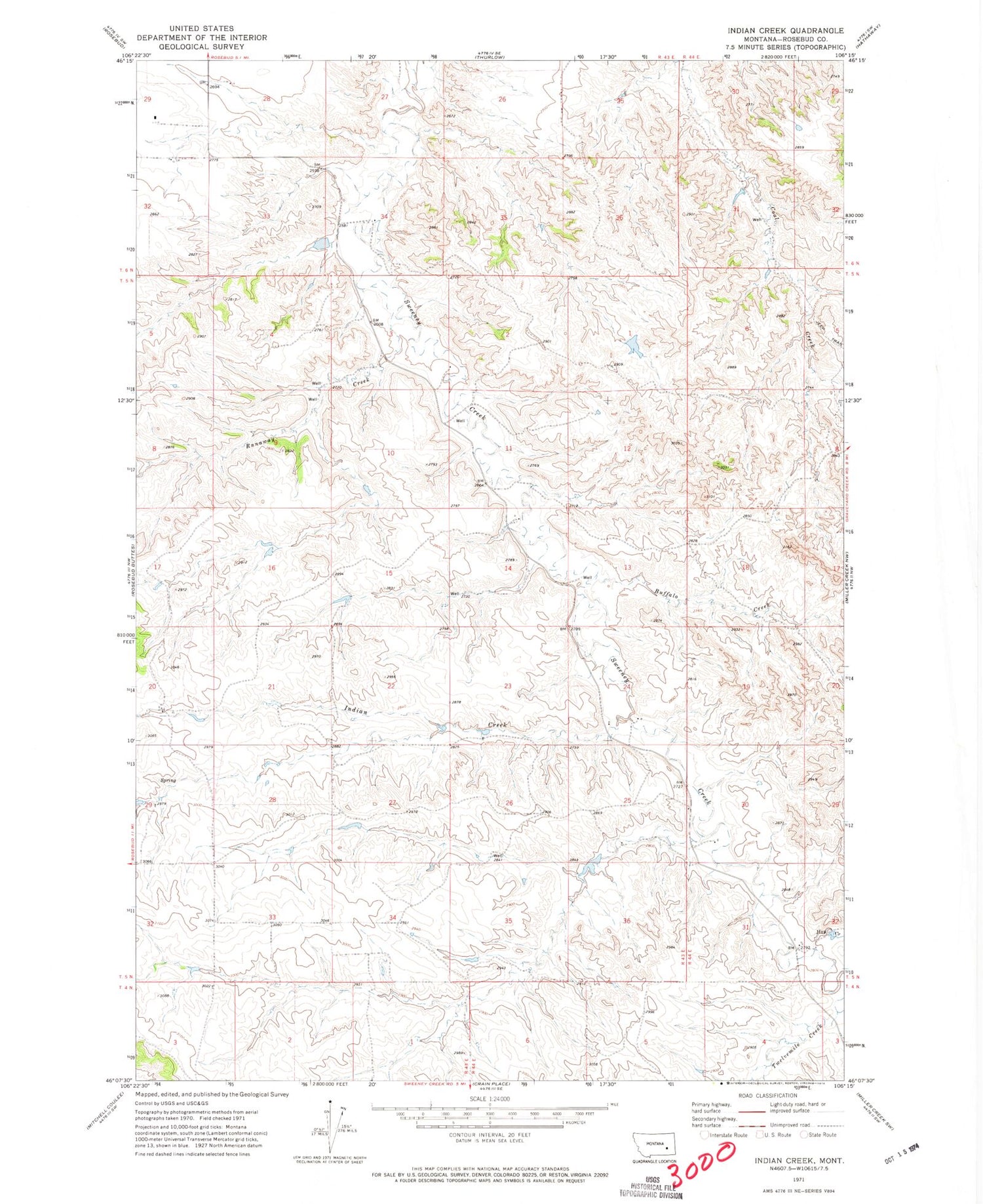
Historical USGS topographic quad map of Indian Creek in the state of Montana. Map scale may vary for some years, but is generally around 1:24,000. Print size is approximately 24" x 27"
This quadrangle is in the following counties: Rosebud.
The map contains contour lines, roads, rivers, towns, and lakes. Printed on high-quality waterproof paper with UV fade-resistant inks, and shipped rolled.
Contains the following named places: 04N43E03AABB01 Well, 05N43E04DDDB01 Well, 05N43E20D___01 Well, 05N43E23CDCC01 Well, 05N44E30CD__01 Well, 06N43E28CDBB01 Well, Ash Creek School, Buffalo Creek, Fleming Number 2 Dam, Hay Creek, Hunt Number 2 Dam, Indian Creek, Nielsen Dam, Runaway Creek, Twelvemile Creek


