MyTopo
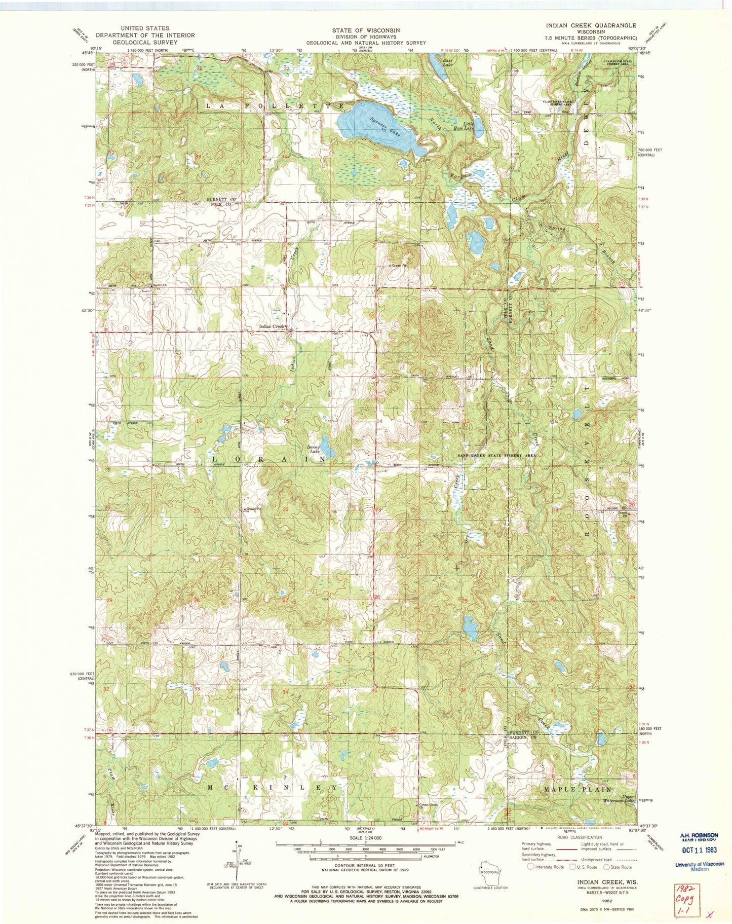
Classic USGS Indian Creek Wisconsin 7.5'x7.5' Topo Map
Couldn't load pickup availability
Historical USGS topographic quad map of Indian Creek in the state of Wisconsin. Map scale may vary for some years, but is generally around 1:24,000. Print size is approximately 24" x 27"
This quadrangle is in the following counties: Barron, Burnett, Polk.
The map contains contour lines, roads, rivers, towns, and lakes. Printed on high-quality waterproof paper with UV fade-resistant inks, and shipped rolled.
Contains the following named places: Bass Lake, Coomer School, Corpus Christi Church, Denny Lake, Indian Creek, Indian Creek Orchard, Little Bass Lake, Lorain Cemetery, Lorain Church, Lorain Volunteer Fire Department, Owens Farms, Sand Creek, Sand Creek State Fishery Area, Shay Mound School, Spencer Lake, Town of Lorain