MyTopo
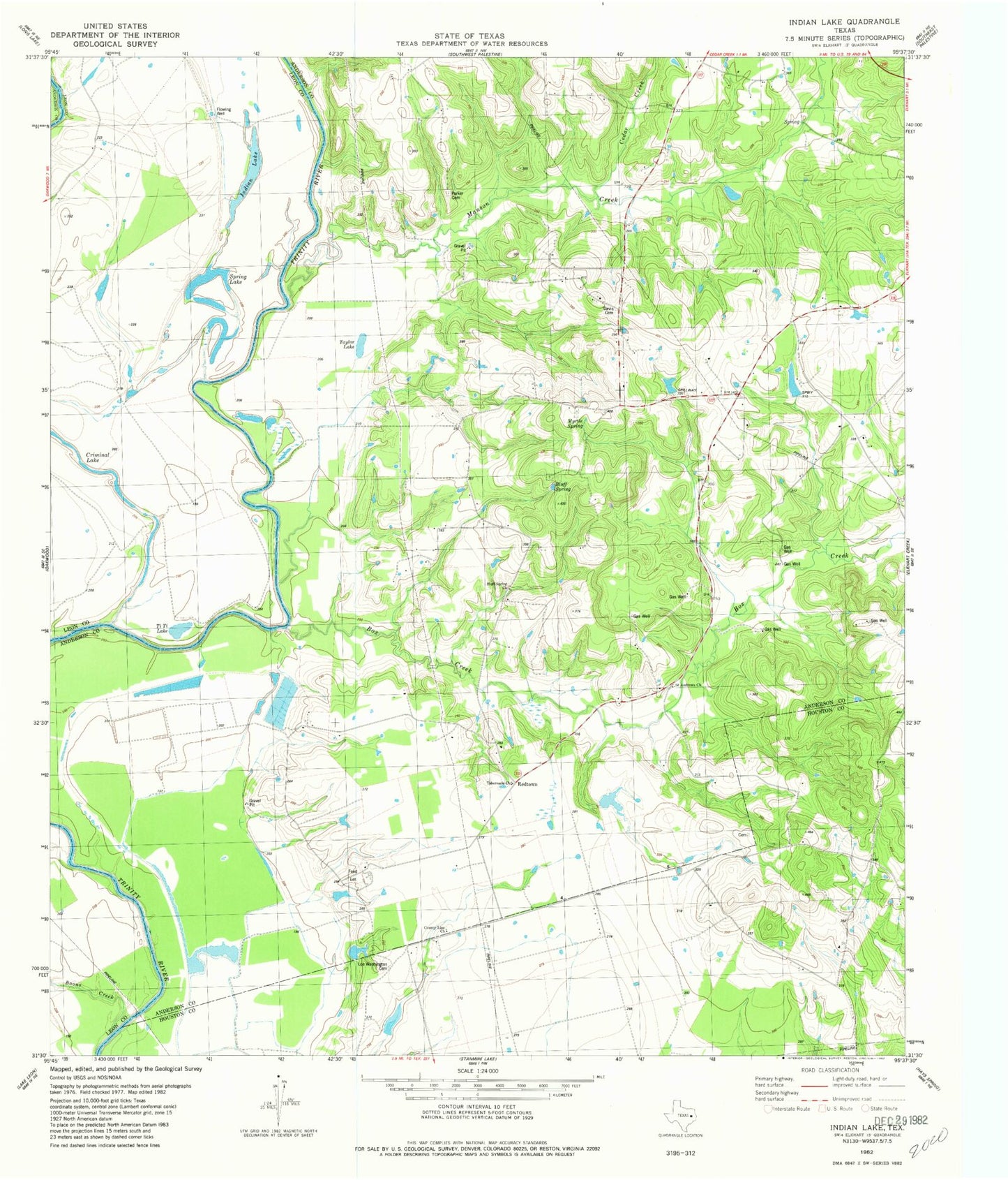
Classic USGS Indian Lake Texas 7.5'x7.5' Topo Map
Couldn't load pickup availability
Historical USGS topographic quad map of Indian Lake in the state of Texas. Map scale may vary for some years, but is generally around 1:24,000. Print size is approximately 24" x 27"
This quadrangle is in the following counties: Anderson, Houston, Leon.
The map contains contour lines, roads, rivers, towns, and lakes. Printed on high-quality waterproof paper with UV fade-resistant inks, and shipped rolled.
Contains the following named places: Boons Creek, Box Creek, Box Creek School, Cedar Creek, County Line School, Davis Cemetery, Galilee Church, Indian Lake, Magnolia School, Manson Creek, Myrtle Springs School, Parker Cemetery, River Bend Church, Rock Hill Church, Saint Anna Church, Spring Lake, Tabernacle Church