MyTopo
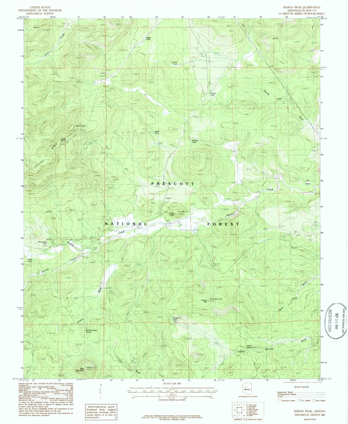
Classic USGS Indian Peak Arizona 7.5'x7.5' Topo Map
Couldn't load pickup availability
Historical USGS topographic quad map of Indian Peak in the state of Arizona. Map scale may vary for some years, but is generally around 1:24,000. Print size is approximately 24" x 27"
This quadrangle is in the following counties: Yavapai.
The map contains contour lines, roads, rivers, towns, and lakes. Printed on high-quality waterproof paper with UV fade-resistant inks, and shipped rolled.
Contains the following named places: Apache Creek, Bald Mountain, Bald Mountain Spring, Brush Tank, Cement Tank, Chino Valley Ranger District, Chucks Tank, Cienega Ranch, Flood Dam Tank, Fritche Tank, Graver Wash, Hunt Tank, Indian Hill, Indian Peak, Indian Spring Number Three, Indian Springs, Juniper Spring, K Four Ranch, Section Twentyfive Tank, South Tank, Spur Tank, Taylor Ranch, Triangle U Ranch, Triangle U Tank, Trick Tank, Walnut Creek Ranger Station, Walnut Creek Work Center, Windshield Tank