MyTopo
Classic USGS Indian Peak New Mexico 7.5'x7.5' Topo Map
Regular price
$16.95
Regular price
Sale price
$16.95
Unit price
per
Couldn't load pickup availability
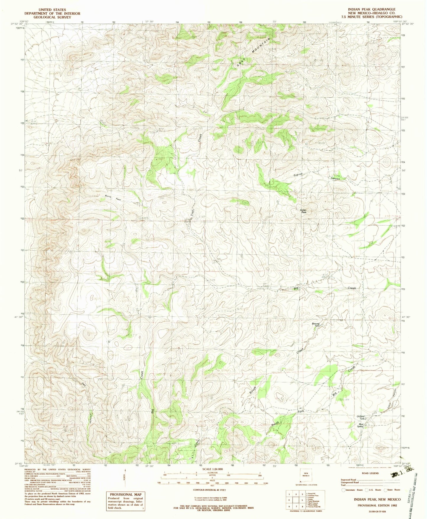
Historical USGS topographic quad map of Indian Peak in the state of New Mexico. Map scale may vary for some years, but is generally around 1:24,000. Print size is approximately 24" x 27"
This quadrangle is in the following counties: Hidalgo.
The map contains contour lines, roads, rivers, towns, and lakes. Printed on high-quality waterproof paper with UV fade-resistant inks, and shipped rolled.
Contains the following named places: Antelope Pass, Birtrong Tank, Burro Pass, Coe Ranch, Cottonwood Spring, Dupree Canyon, Gibson Place, Indian Peak, Maloney, Maloney Ranch, Mouser Place, Mud Springs, Old Maddox School, Owl Canyon, Pages Store, Rough Creek, Tase Golman, Trail Creek, XT Canyon, ZIP Code: 88056