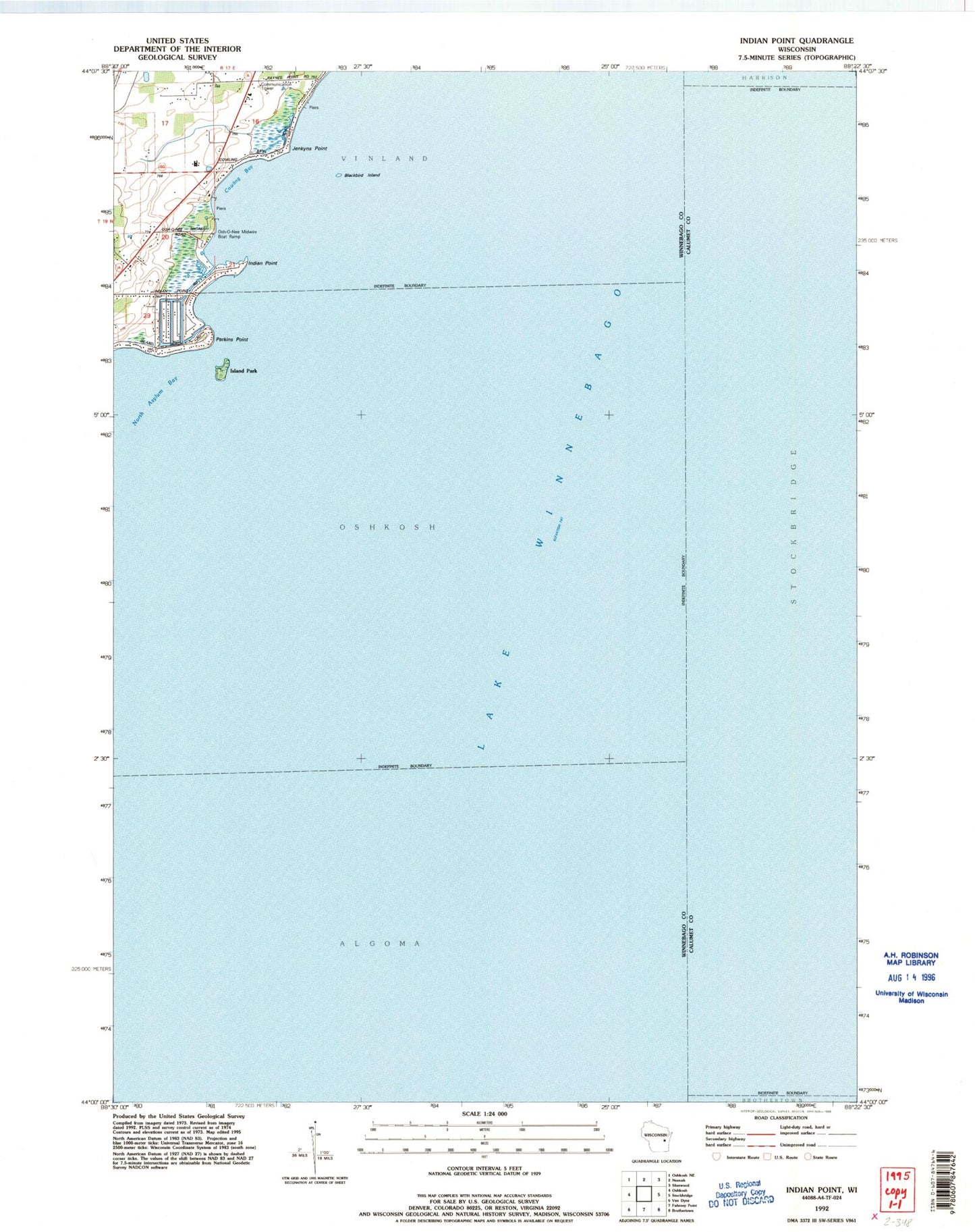
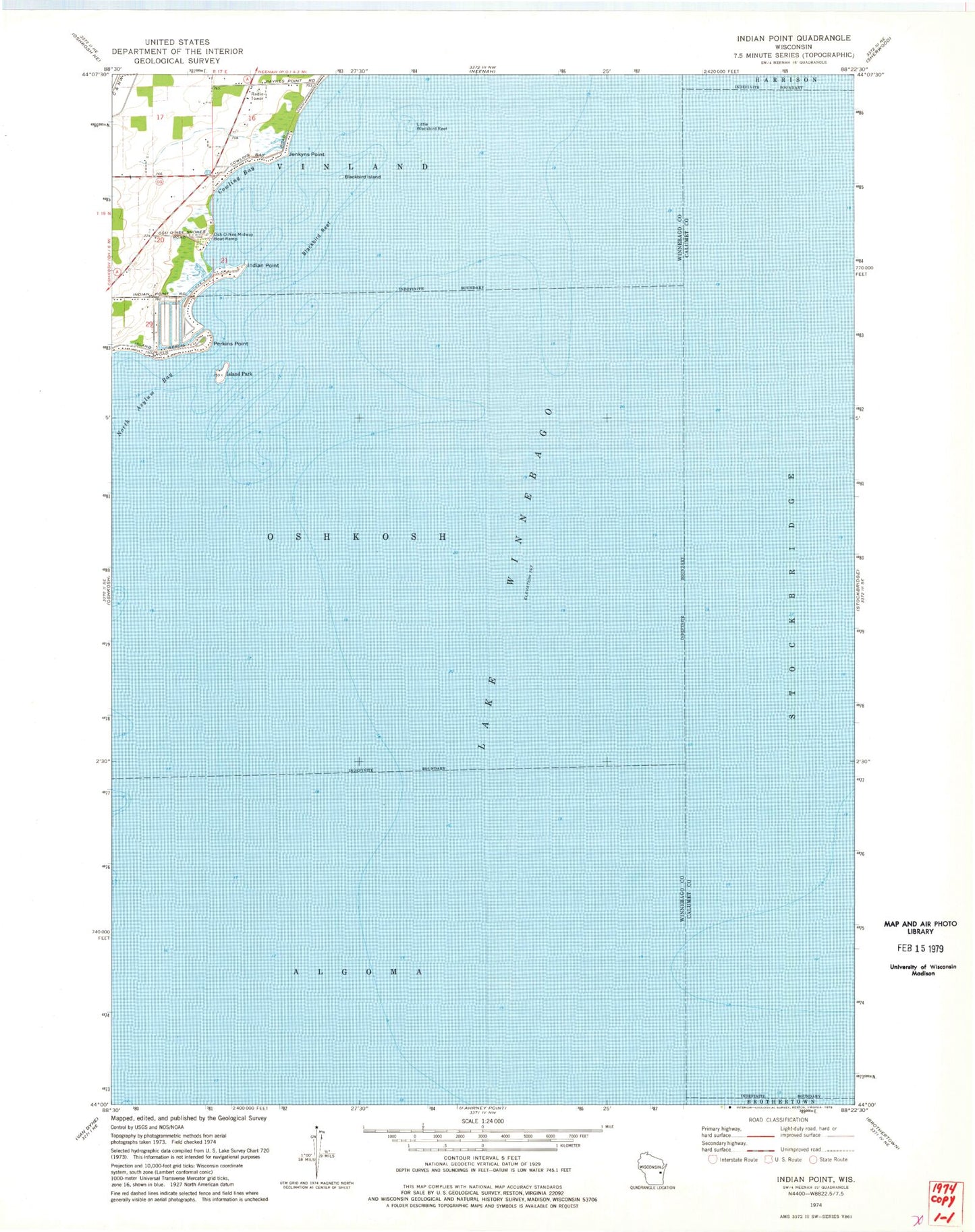
MyTopo
Classic USGS Indian Point Wisconsin 7.5'x7.5' Topo Map
Regular price
$16.95
Regular price
Sale price
$16.95
Unit price
per
Couldn't load pickup availability
Historical USGS topographic quad map of Indian Point in the state of Wisconsin. Map scale may vary for some years, but is generally around 1:24,000. Print size is approximately 24" x 27"
This quadrangle is in the following counties: Calumet, Winnebago.
The map contains contour lines, roads, rivers, towns, and lakes. Printed on high-quality waterproof paper with UV fade-resistant inks, and shipped rolled.
Contains the following named places: Blackbird Island, Blackbird Reef, Cowling Bay, Cowling School, Indian Point, Island Park, Jenkyns Point, Lake Winnebago, Little Blackbird Reef, Osh-O-Nee Midway Boat Ramp, Perkins Point, Town of Oshkosh, WRoe-FM (Neenah-Menasha)