
MyTopo
Classic USGS Indian Postoffice Idaho 7.5'x7.5' Topo Map
Regular price
$16.95
Regular price
Sale price
$16.95
Unit price
per
Couldn't load pickup availability
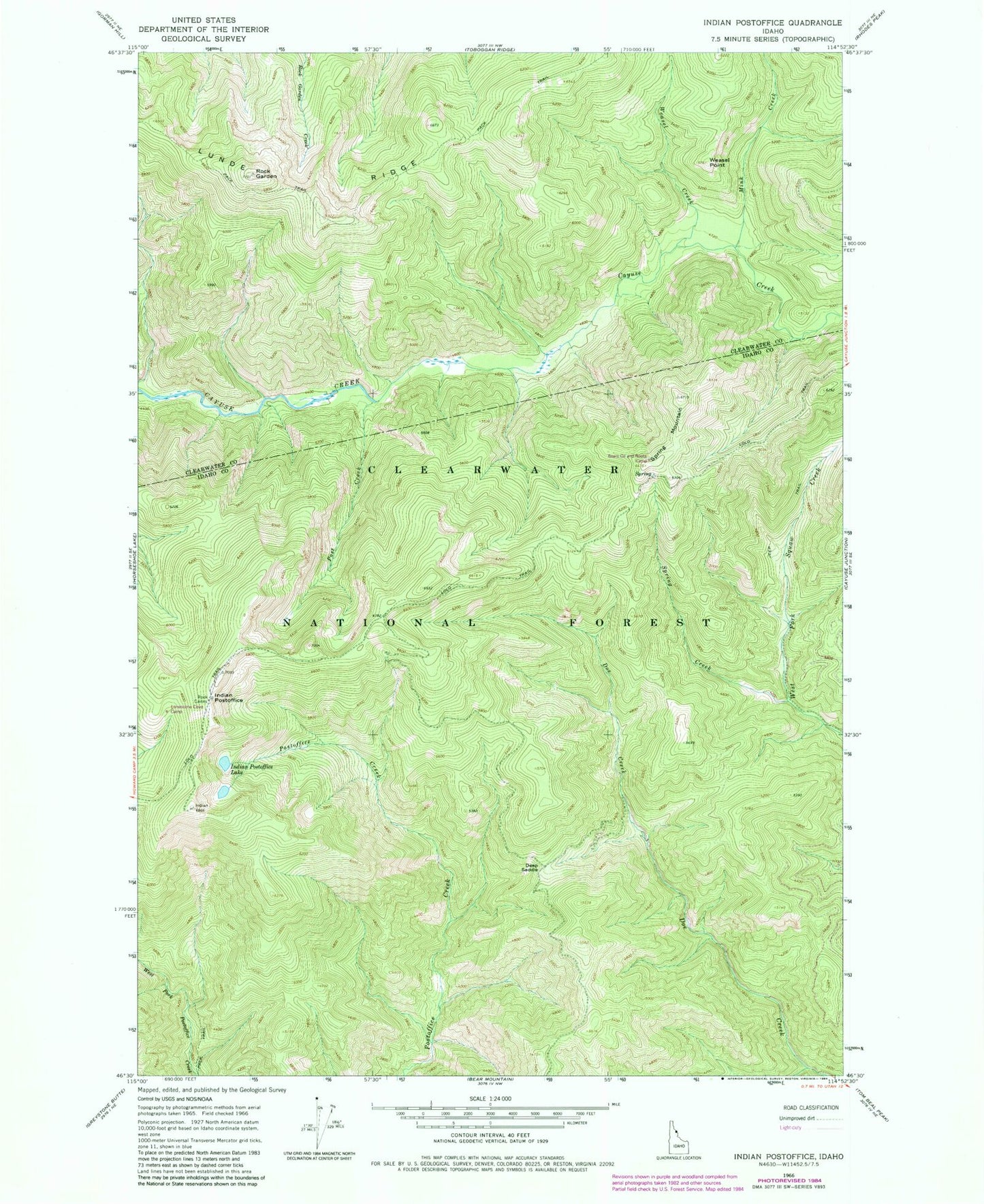
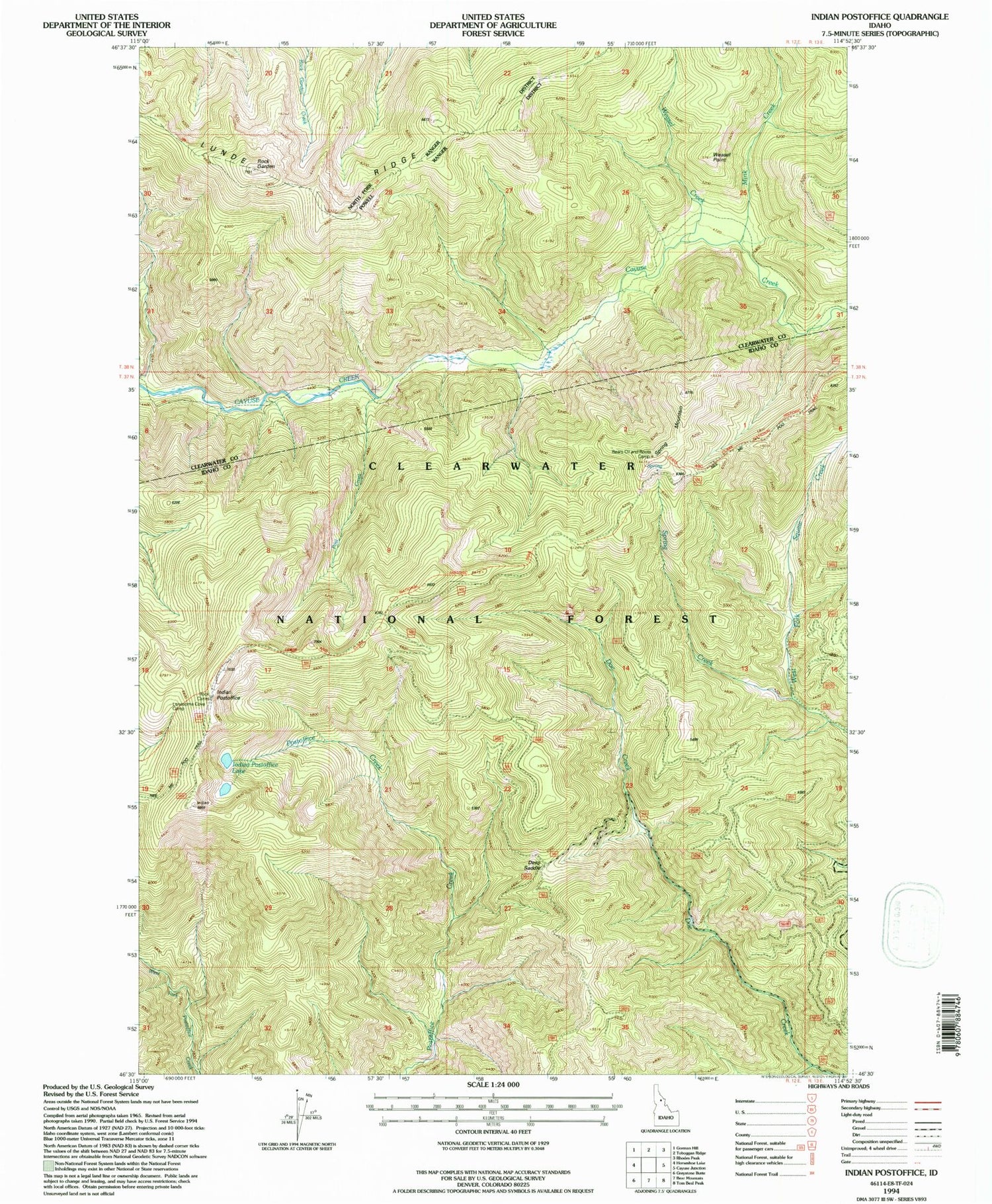
Historical USGS topographic quad map of Indian Postoffice in the state of Idaho. Map scale may vary for some years, but is generally around 1:24,000. Print size is approximately 24" x 27"
This quadrangle is in the following counties: Clearwater, Idaho.
The map contains contour lines, roads, rivers, towns, and lakes. Printed on high-quality waterproof paper with UV fade-resistant inks, and shipped rolled.
Contains the following named places: Bears Oil and Roots Camp, Deep Saddle, Indian Postoffice, Indian Postoffice Lake, Lonesome Cove Camp, Lunde Ridge, Mink Creek, Post Creek, Rock Garden, Spring Creek, Spring Mountain, Weasel Creek, Weasel Point