MyTopo
Classic USGS Indian Spring Canyon New Mexico 7.5'x7.5' Topo Map
Couldn't load pickup availability
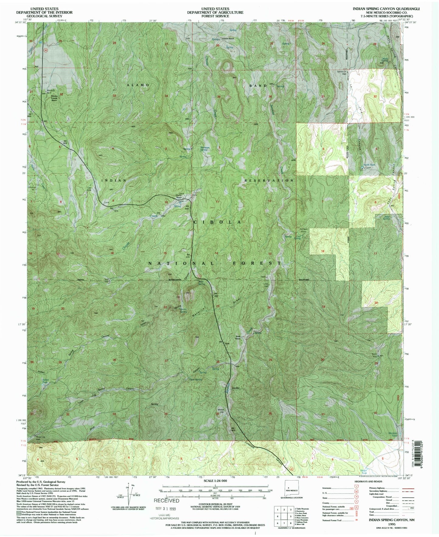
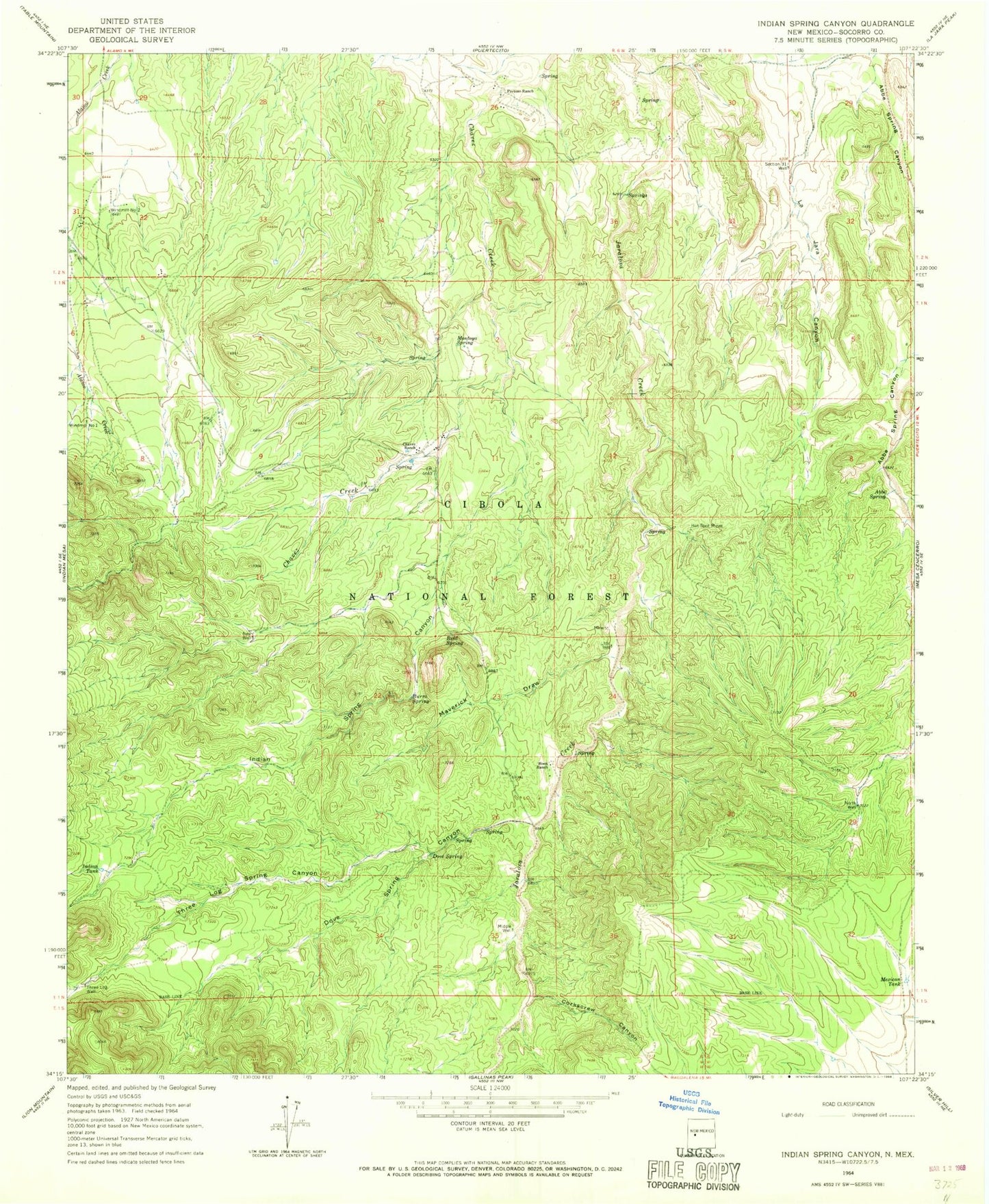
Historical USGS topographic quad map of Indian Spring Canyon in the state of New Mexico. Map scale may vary for some years, but is generally around 1:24,000. Print size is approximately 24" x 27"
This quadrangle is in the following counties: Socorro.
The map contains contour lines, roads, rivers, towns, and lakes. Printed on high-quality waterproof paper with UV fade-resistant inks, and shipped rolled.
Contains the following named places: Abbe Spring, Alamo Navajo Airport, Burro Spring, Canon Cencerro, Chavez Ranch, Cibola National Forest, Coal Spring, Corkscrew Canyon, Dove Spring, Dove Spring Canyon, Earth Tank, Fretoso Ranch, Heifer Tank, Hook Ranch, Hot Spot Mines, Indian Spring Canyon, Indian Tank, Little Well, Mag 1, Maverick Draw, Mexican Tank, Middle Well, Montoya Spring, Murdo Spring, New Well, North Well, Reid Spring, Section Thirty Tank, Thomas Canoda Ranch, Three Log Spring Canyon, Three Log Well, Windmill Number 1, Windmill Number 2