MyTopo
Classic USGS Indian Springs Utah 7.5'x7.5' Topo Map
Regular price
$16.95
Regular price
Sale price
$16.95
Unit price
per
Couldn't load pickup availability
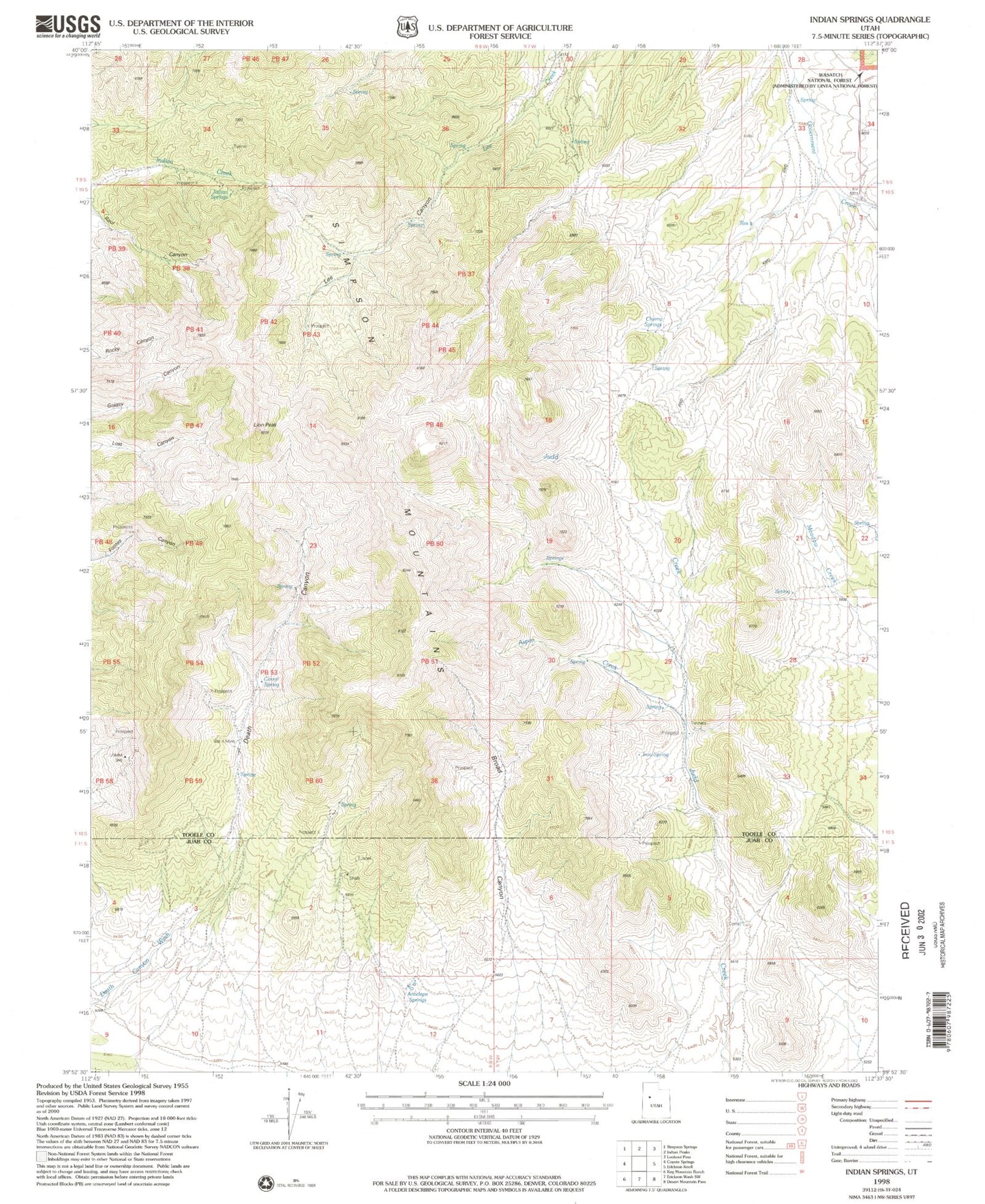
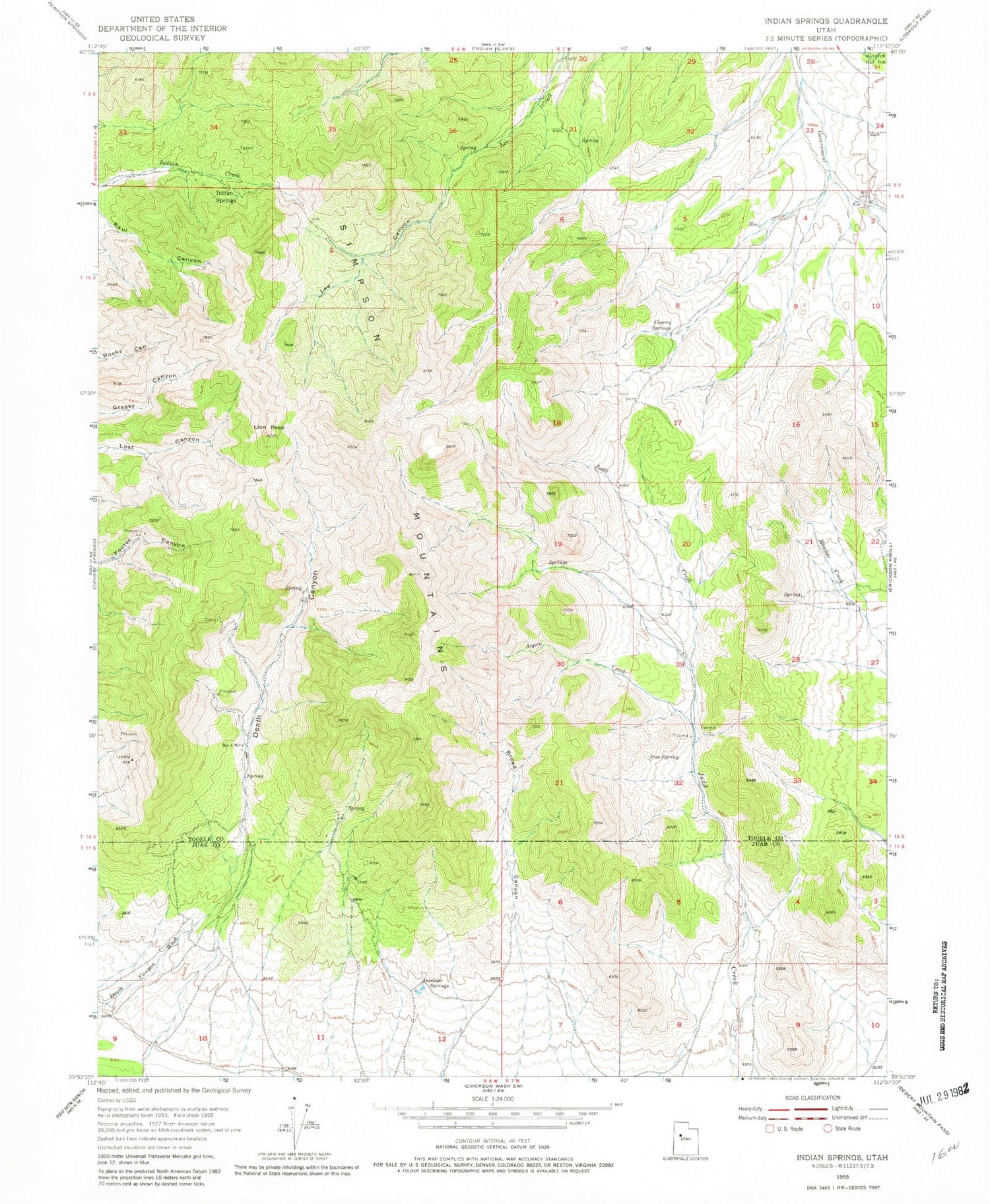
Historical USGS topographic quad map of Indian Springs in the state of Utah. Map scale may vary for some years, but is generally around 1:24,000. Print size is approximately 24" x 27"
This quadrangle is in the following counties: Juab, Tooele.
The map contains contour lines, roads, rivers, towns, and lakes. Printed on high-quality waterproof paper with UV fade-resistant inks, and shipped rolled.
Contains the following named places: Antelope Springs, Aspen Creek, Bar X Mine, Broad Canyon, Cherry Springs, Corral, Death Canyon, Indian Springs, Iron Spring, Lee Canyon, Lion Peak, O P Rockwell Ranch, Simpson Mountains