MyTopo
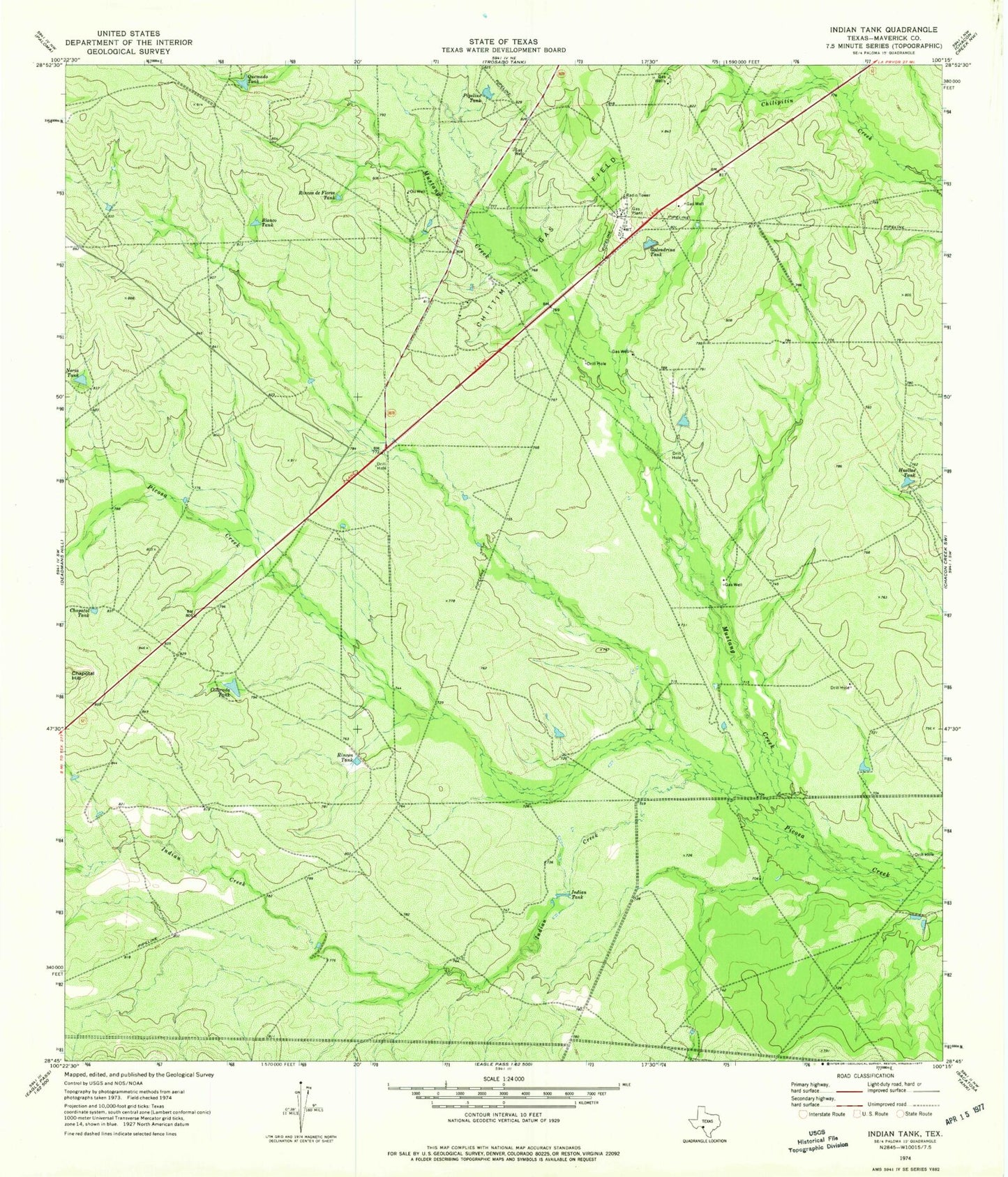
Classic USGS Indian Tank Texas 7.5'x7.5' Topo Map
Regular price
$16.95
Regular price
Sale price
$16.95
Unit price
per
Couldn't load pickup availability
Historical USGS topographic quad map of Indian Tank in the state of Texas. Map scale may vary for some years, but is generally around 1:24,000. Print size is approximately 24" x 27"
This quadrangle is in the following counties: Maverick.
The map contains contour lines, roads, rivers, towns, and lakes. Printed on high-quality waterproof paper with UV fade-resistant inks, and shipped rolled.
Contains the following named places: Blanco Tank, Chapotal Tank, Chittim Gas Field, Colorada Tank, Golondrina Tank, Huellas Tank, Indian Creek, Indian Tank, Mustang Creek, Noria Tank, Pipeline Tank, Quemado Tank, Rincon de Flores Tank, Rincon Tank, United States Border Patrol Checkpoint