MyTopo
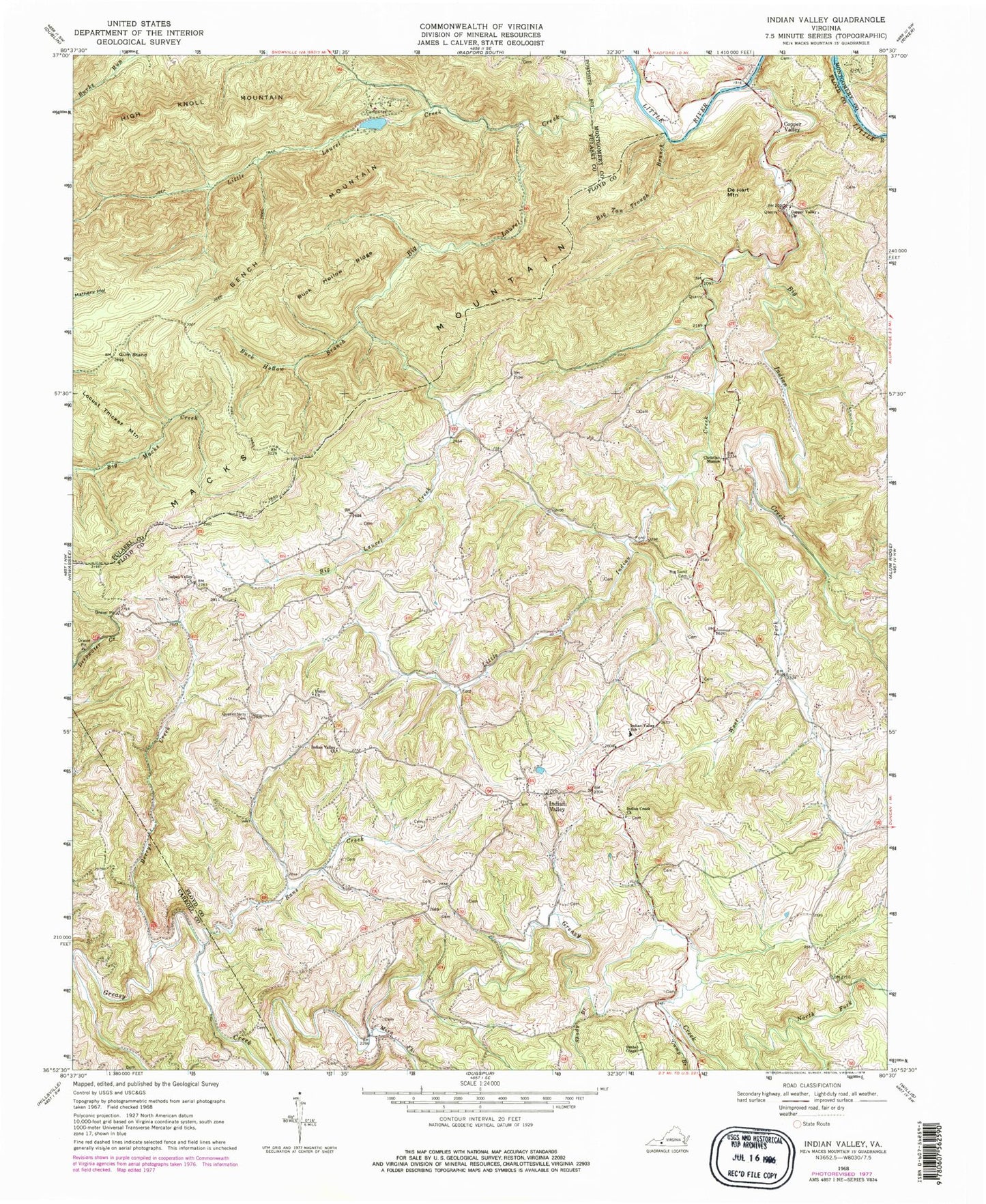
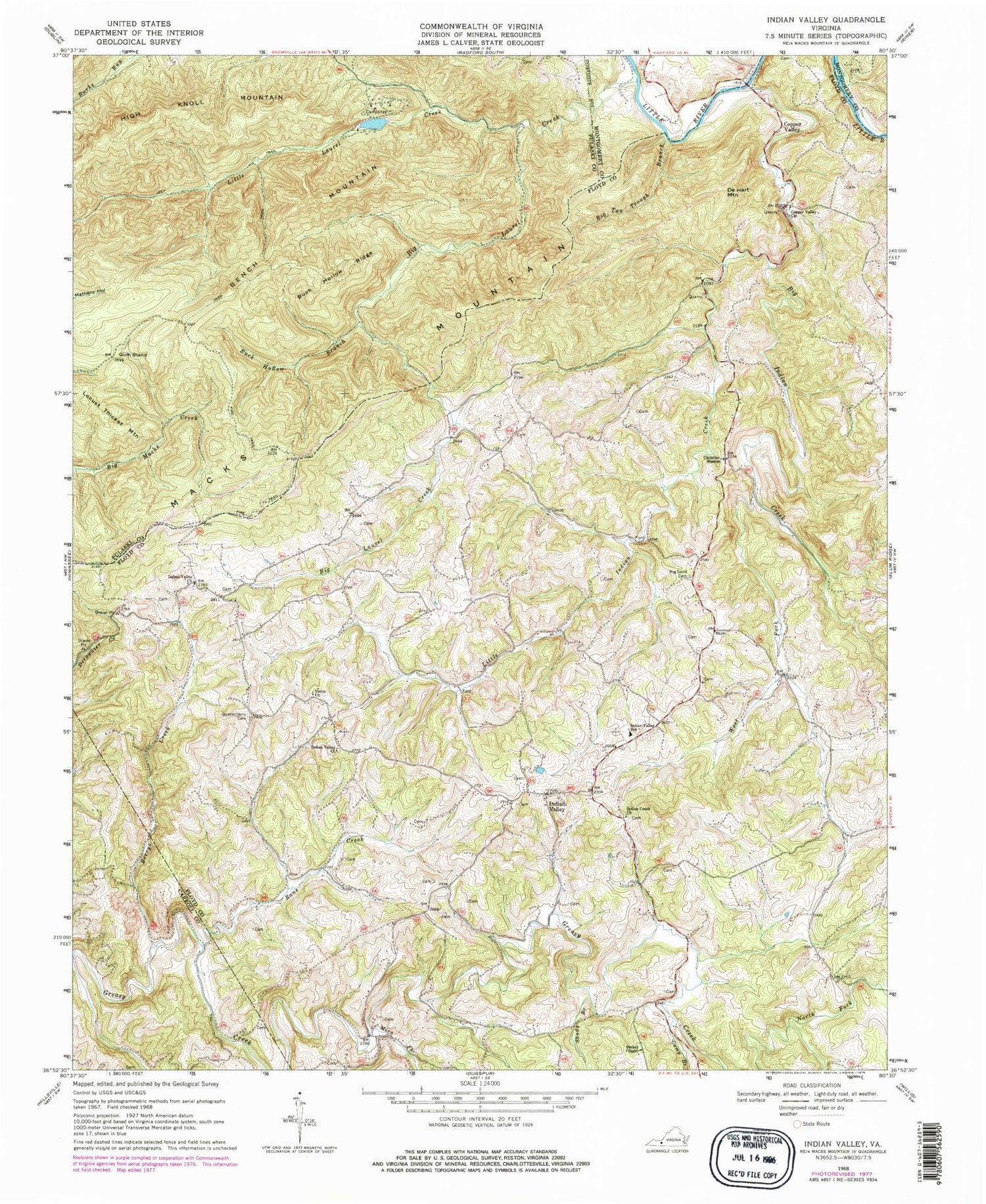
Classic USGS Indian Valley Virginia 7.5'x7.5' Topo Map
Couldn't load pickup availability
Historical USGS topographic quad map of Indian Valley in the state of Virginia. Typical map scale is 1:24,000, but may vary for certain years, if available. Print size: 24" x 27"
This quadrangle is in the following counties: Carroll, Floyd, Montgomery, Pulaski.
The map contains contour lines, roads, rivers, towns, and lakes. Printed on high-quality waterproof paper with UV fade-resistant inks, and shipped rolled.
Contains the following named places: Barrys Creek, Bench Mountain, Bethel Chapel, Big Indian Creek, Big Laurel Creek, Big Sand Cemetery, Big Tan Trough Branch, Buck Hollow Branch, Buck Hollow Ridge, Camp Branch, Campsites, Christian Mission, Copper Valley, Copper Valley Church, Fire Trail, Greasy Creek, Gum Stand, Indian Creek Church, Indian Valley, Indian Valley Church, Indian Valley Church, Indian Valley Elementary School, Little Indian Creek, Little Laurel Creek, Mira Fork, North Fork Greasy Creek, Quesenberry Cemetery, Rans Creek, Shady Branch, West Fork Big Indian Creek, Union Church, Ottari Scout Camp Number Two Dam, Ottari Lake, DeHart Mountain, Mitchell Chapel (historical), Moore Cemetery, Tade Quesenberry Cemetery, Indian Valley District, Floyd County Volunteer Fire Department 4, Floyd County Life Saving and First Aid Squad Station 4, Indian Valley Post Office


