MyTopo
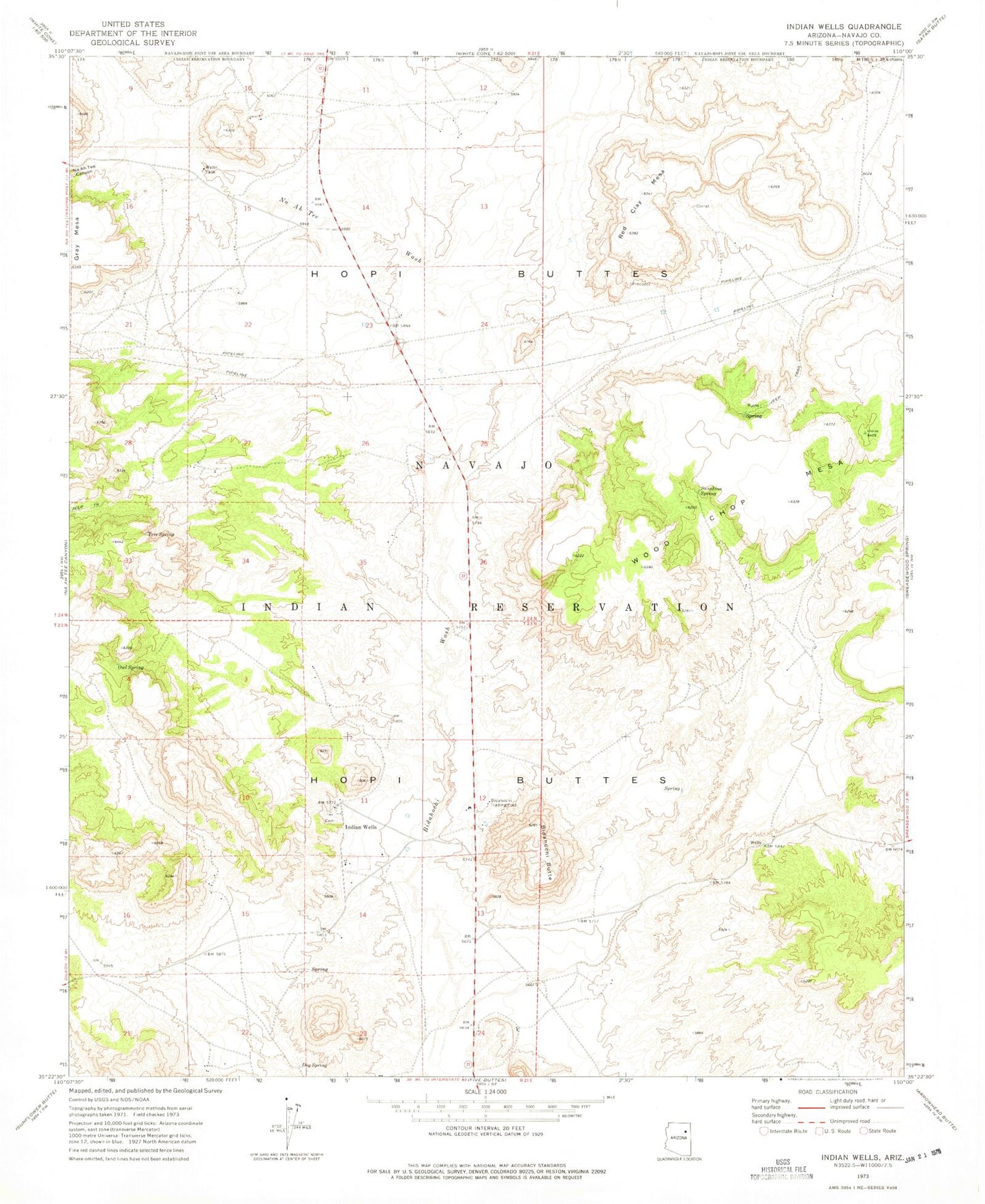
Classic USGS Indian Wells Arizona 7.5'x7.5' Topo Map
Couldn't load pickup availability
Historical USGS topographic quad map of Indian Wells in the state of Arizona. Map scale may vary for some years, but is generally around 1:24,000. Print size is approximately 24" x 27"
This quadrangle is in the following counties: Navajo.
The map contains contour lines, roads, rivers, towns, and lakes. Printed on high-quality waterproof paper with UV fade-resistant inks, and shipped rolled.
Contains the following named places: Bidahochi, Bidahochi Butte, Bidahochi Spring, Bidahochi Trading Post, Dog Spring, Indian Wells, Indian Wells Census Designated Place, Indian Wells Elementary School, Na Ah Tee Canyon, Na Ah Tee Wash, Navajo Nation Department of Fire and Rescue Services Station 72 Indian Wells Fire Department, Owl Spring, Red Clay Mesa, Sunshine Spring, Tree Spring, Wood Chop Mesa, ZIP Code: 86031