MyTopo
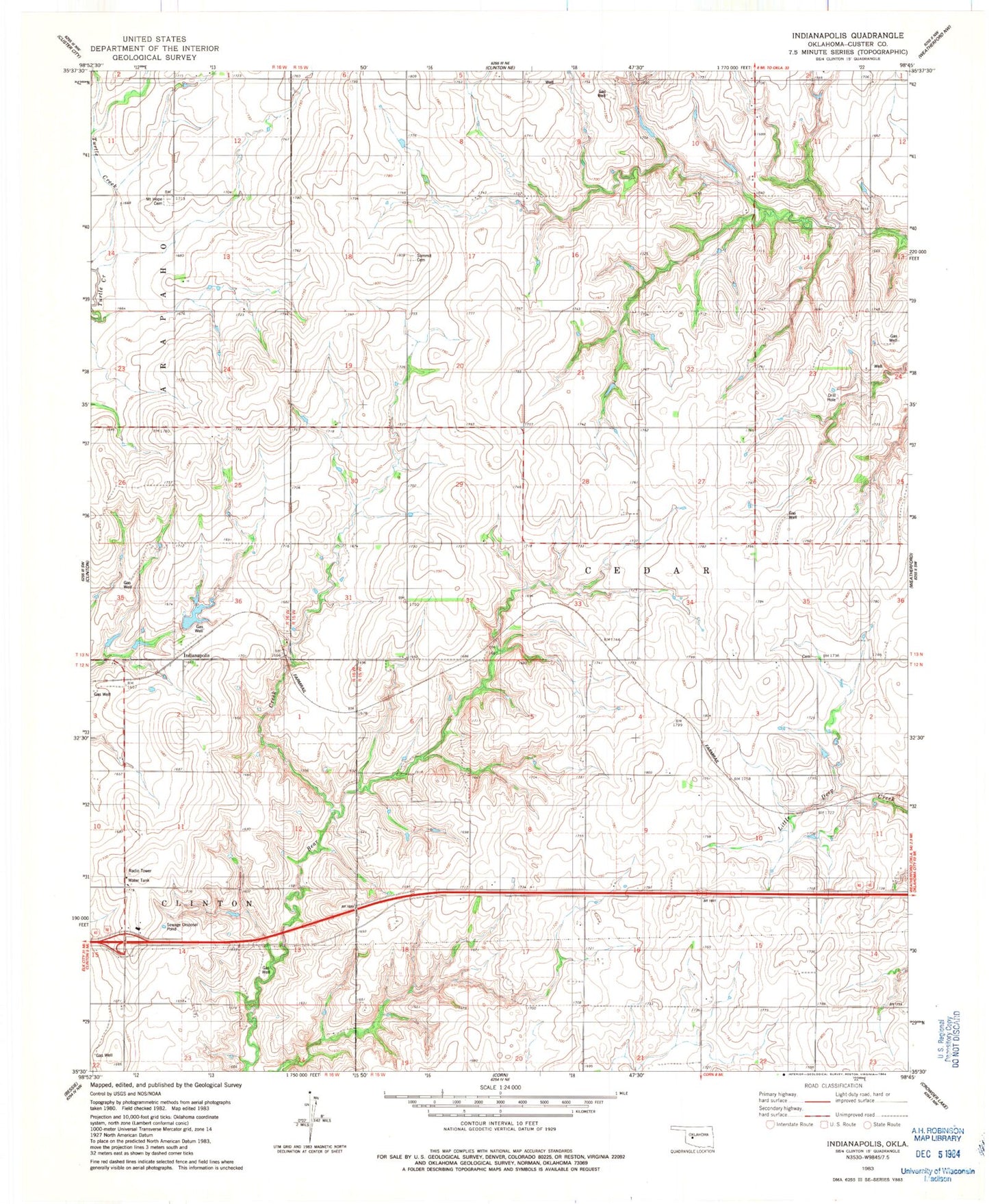
Classic USGS Indianapolis Oklahoma 7.5'x7.5' Topo Map
Couldn't load pickup availability
Historical USGS topographic quad map of Indianapolis in the state of Oklahoma. Map scale may vary for some years, but is generally around 1:24,000. Print size is approximately 24" x 27"
This quadrangle is in the following counties: Custer.
The map contains contour lines, roads, rivers, towns, and lakes. Printed on high-quality waterproof paper with UV fade-resistant inks, and shipped rolled.
Contains the following named places: Bear Creek Site 14 Dam, Bear Creek Site 14 Reservoir, Bellview Community Hall, Bozeman and McBride Dam, Bozeman and McBride Reservoir, Dickey Reservoir, Gannaway and Berry Dam, George Cornell Dam, George Cornell Reservoir, Glenn Dickey Dam, Indianapolis, Mount Hope Cemetery, Newton Cemetery, Pleasant Hill Church, Red Rock School, Summit Cemetery