MyTopo
Classic USGS Indianola Oklahoma 7.5'x7.5' Topo Map
Couldn't load pickup availability
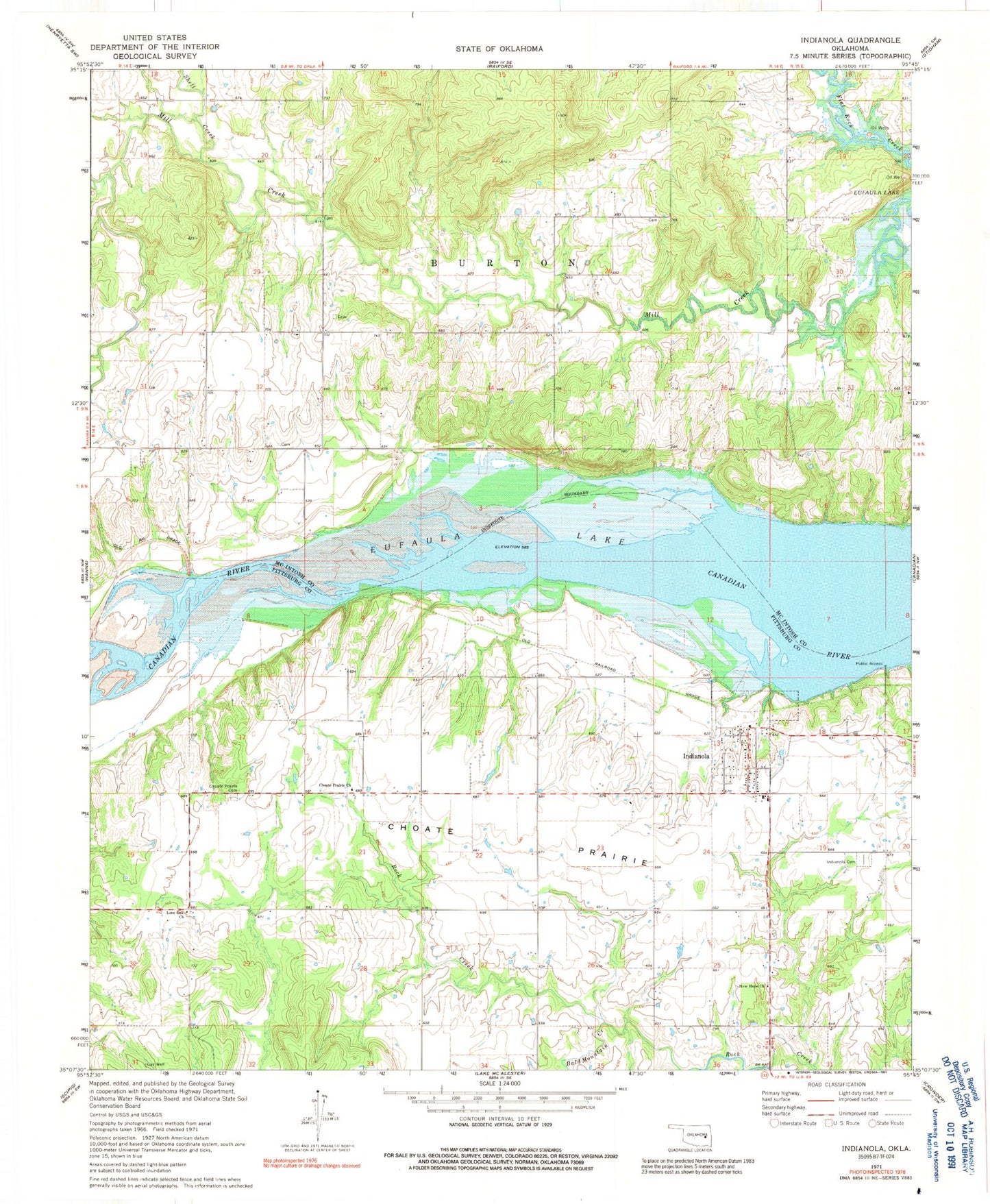
Historical USGS topographic quad map of Indianola in the state of Oklahoma. Map scale may vary for some years, but is generally around 1:24,000. Print size is approximately 24" x 27"
This quadrangle is in the following counties: McIntosh, Pittsburg.
The map contains contour lines, roads, rivers, towns, and lakes. Printed on high-quality waterproof paper with UV fade-resistant inks, and shipped rolled.
Contains the following named places: Bald Mountain Creek, Choate Prairie, Choate Prairie Cemetery, Choate Prairie Church, Eufaula Lake, Hillabee Cemetery, Indianola, Indianola Cemetery, Indianola Elementary School, Indianola First Baptist Church, Indianola High School, Indianola Post Office, Indianola Volunteer Fire Department, Lone Oak Church, New Hope Church, Oknoname 121014 Dam, Oknoname 121014 Reservoir, Shell Creek, Town of Indianola, Township of Barton, ZIP Code: 74442